Forgotten Maps
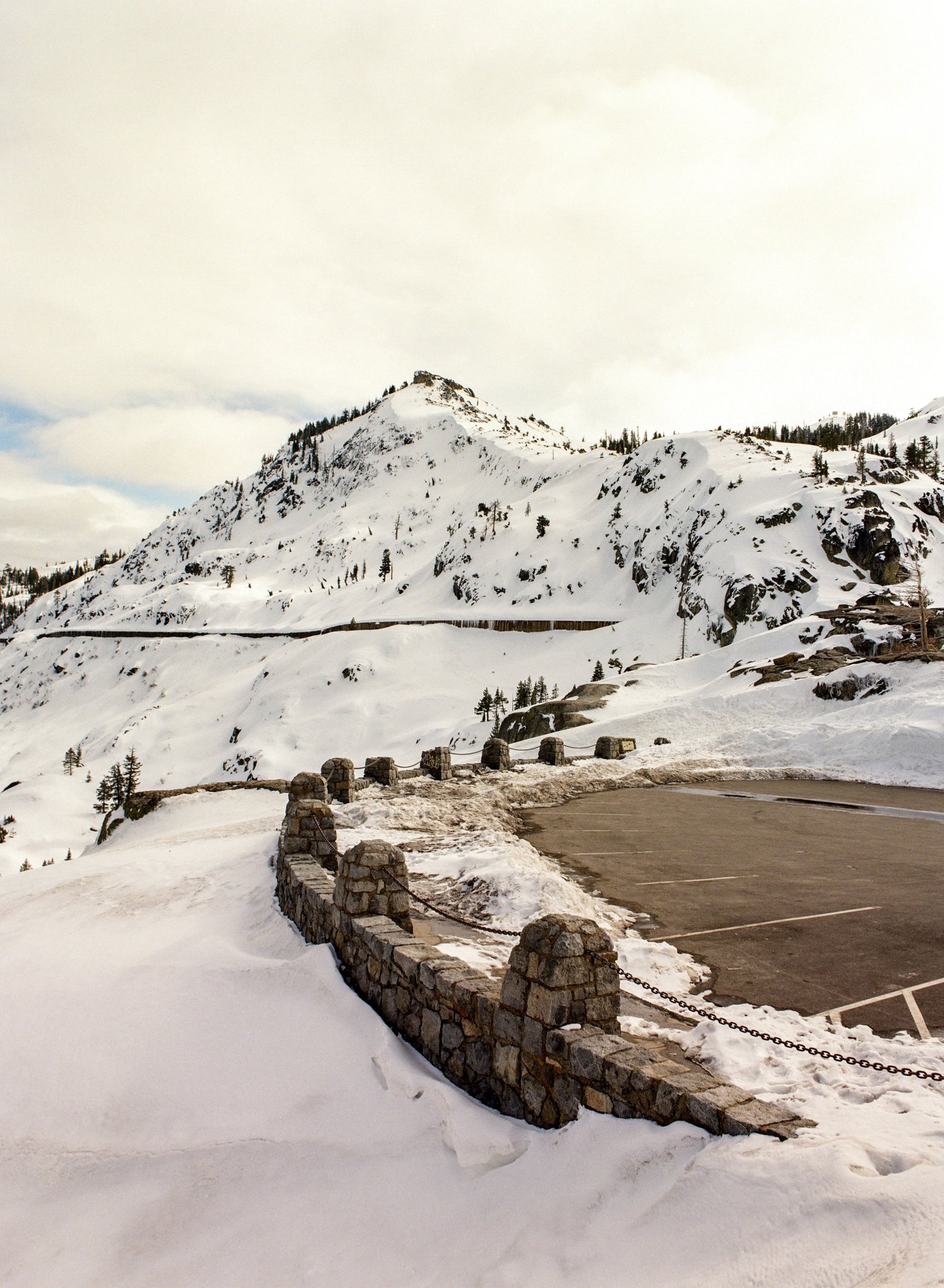
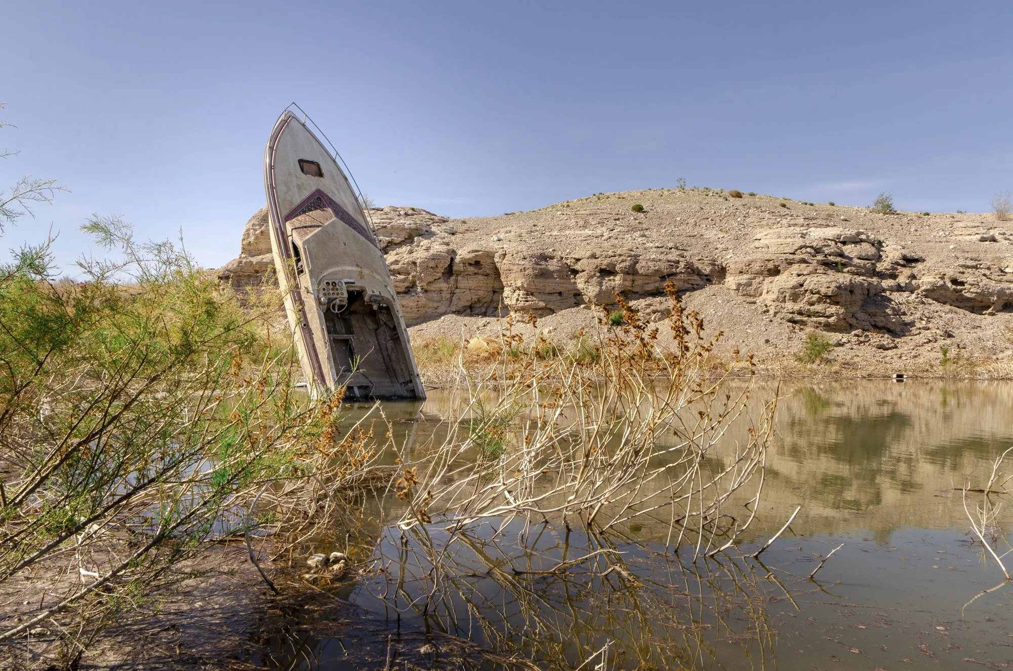
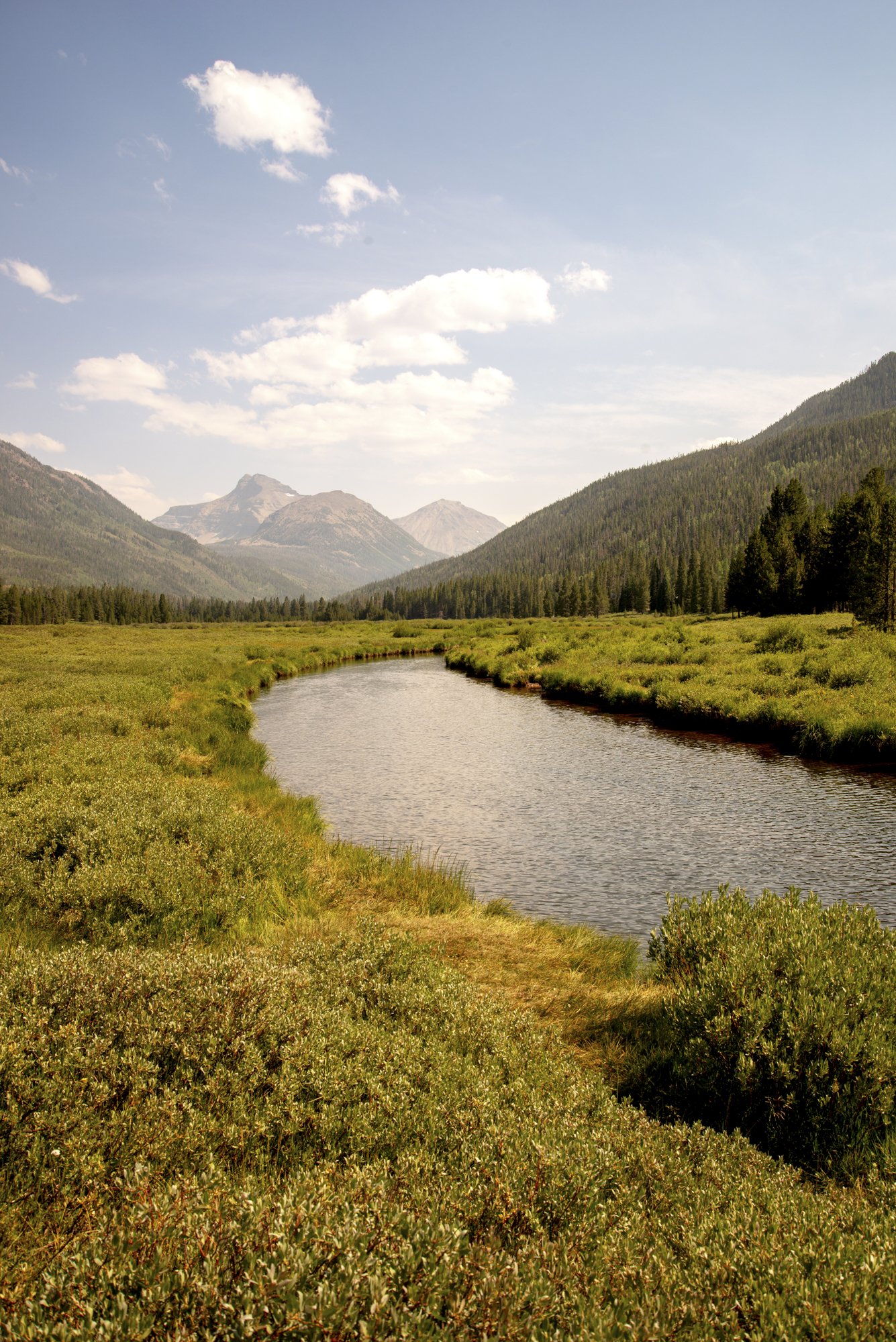
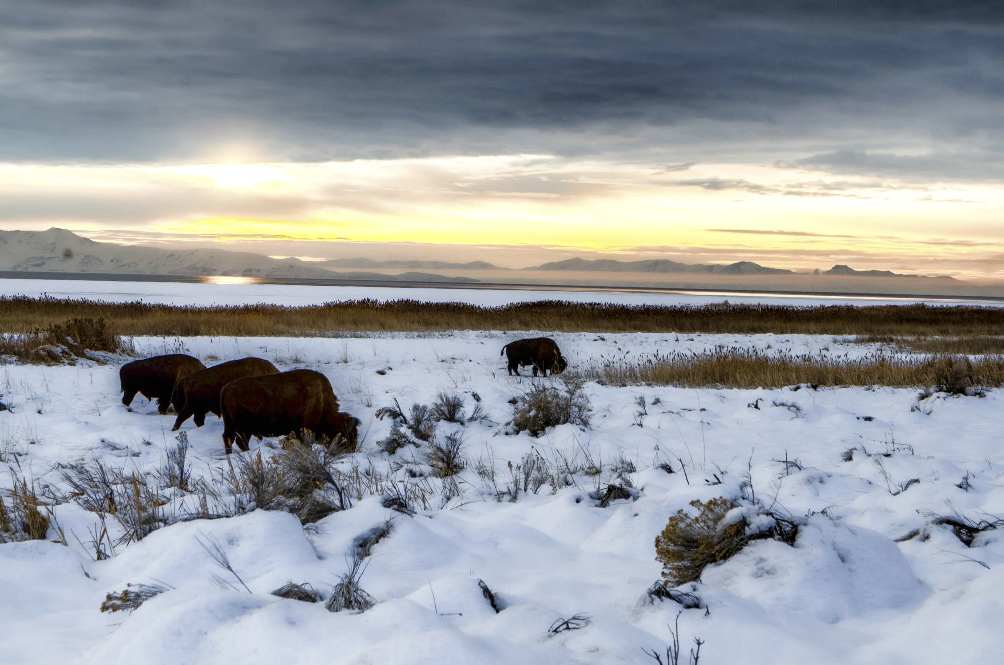
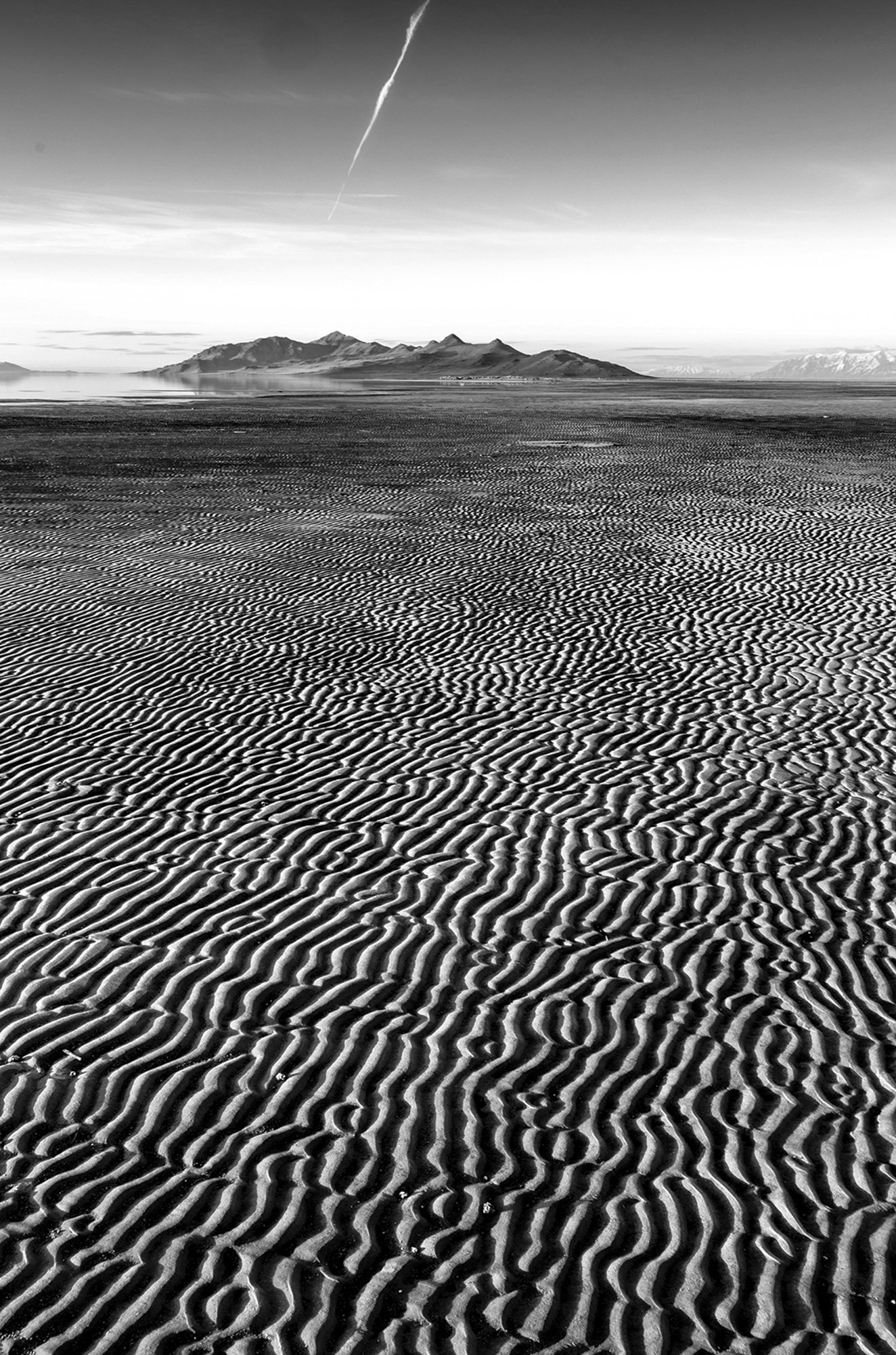
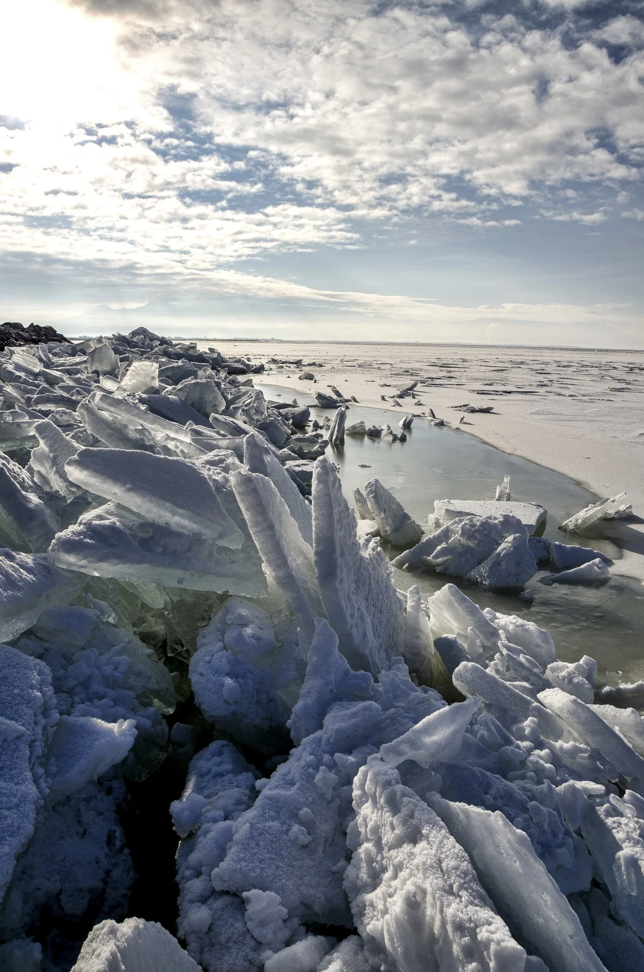
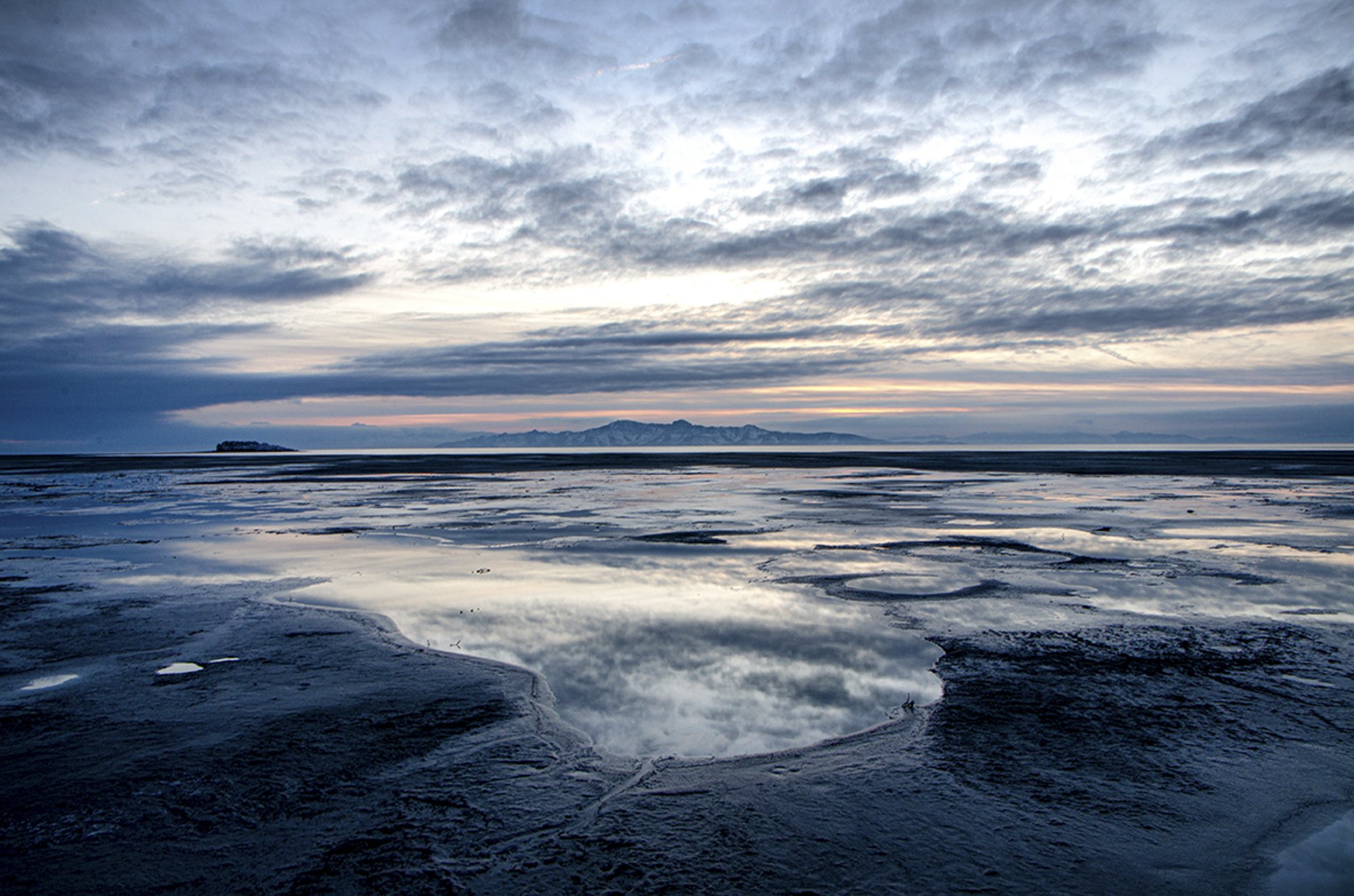
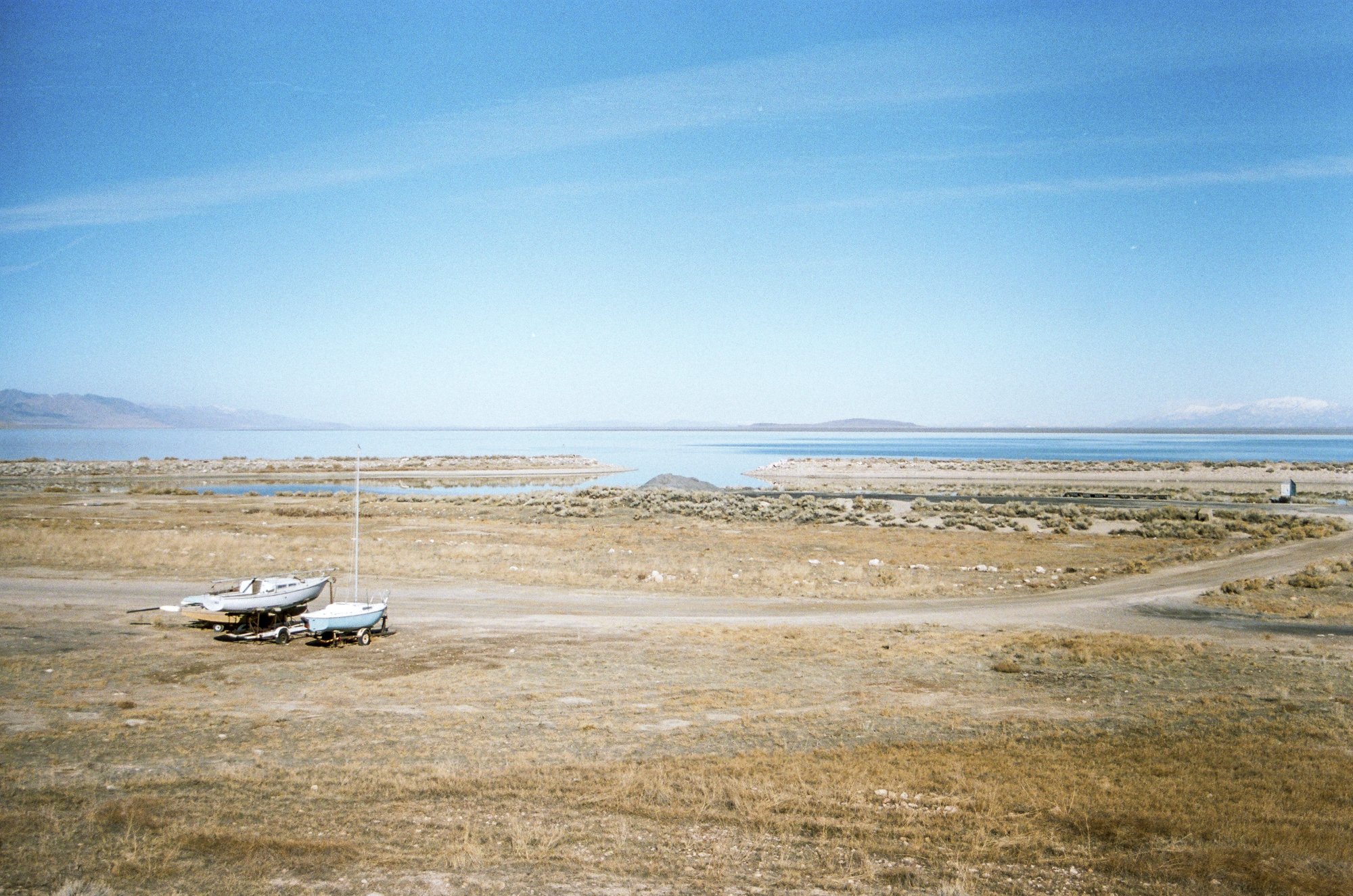
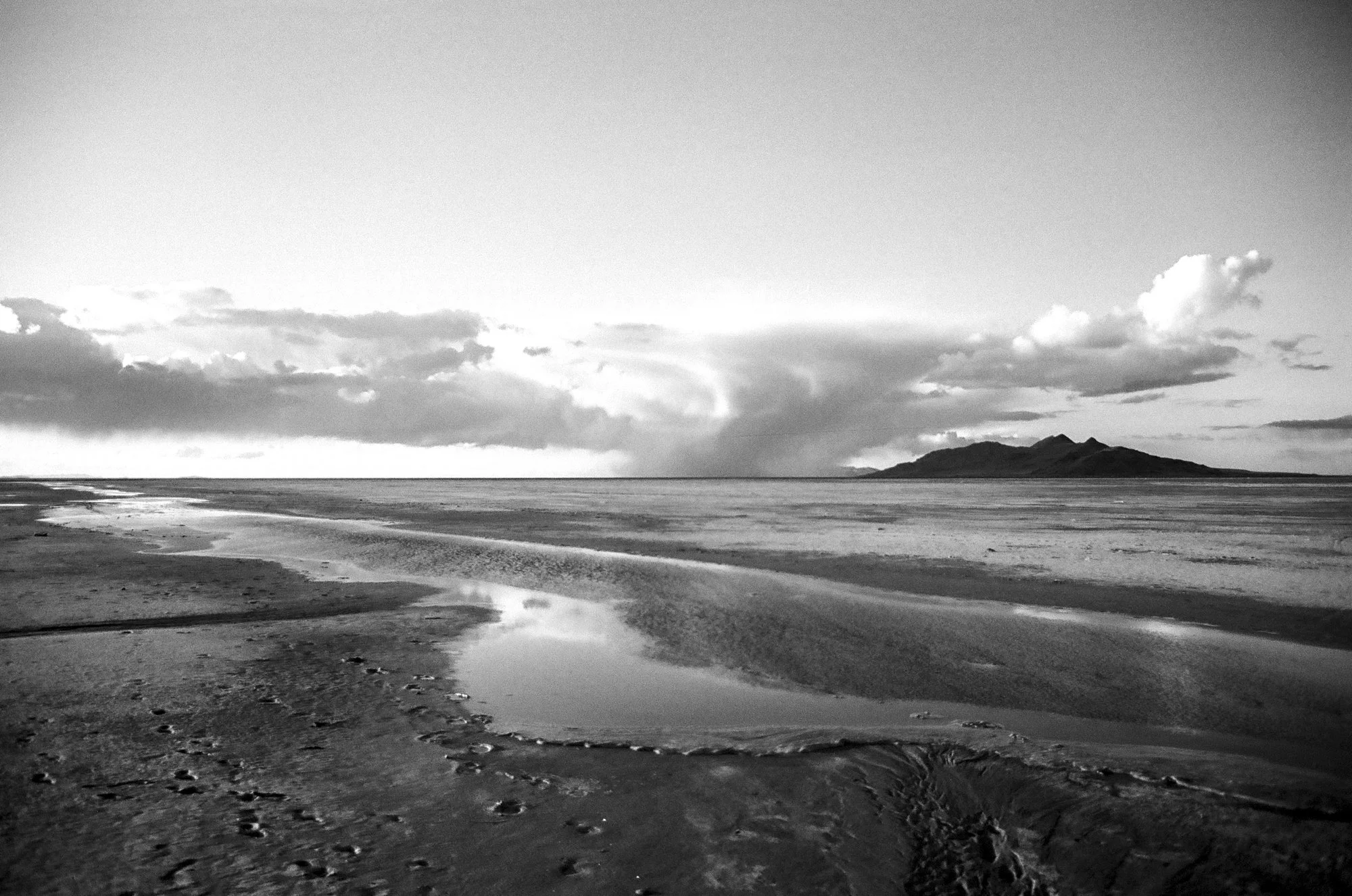
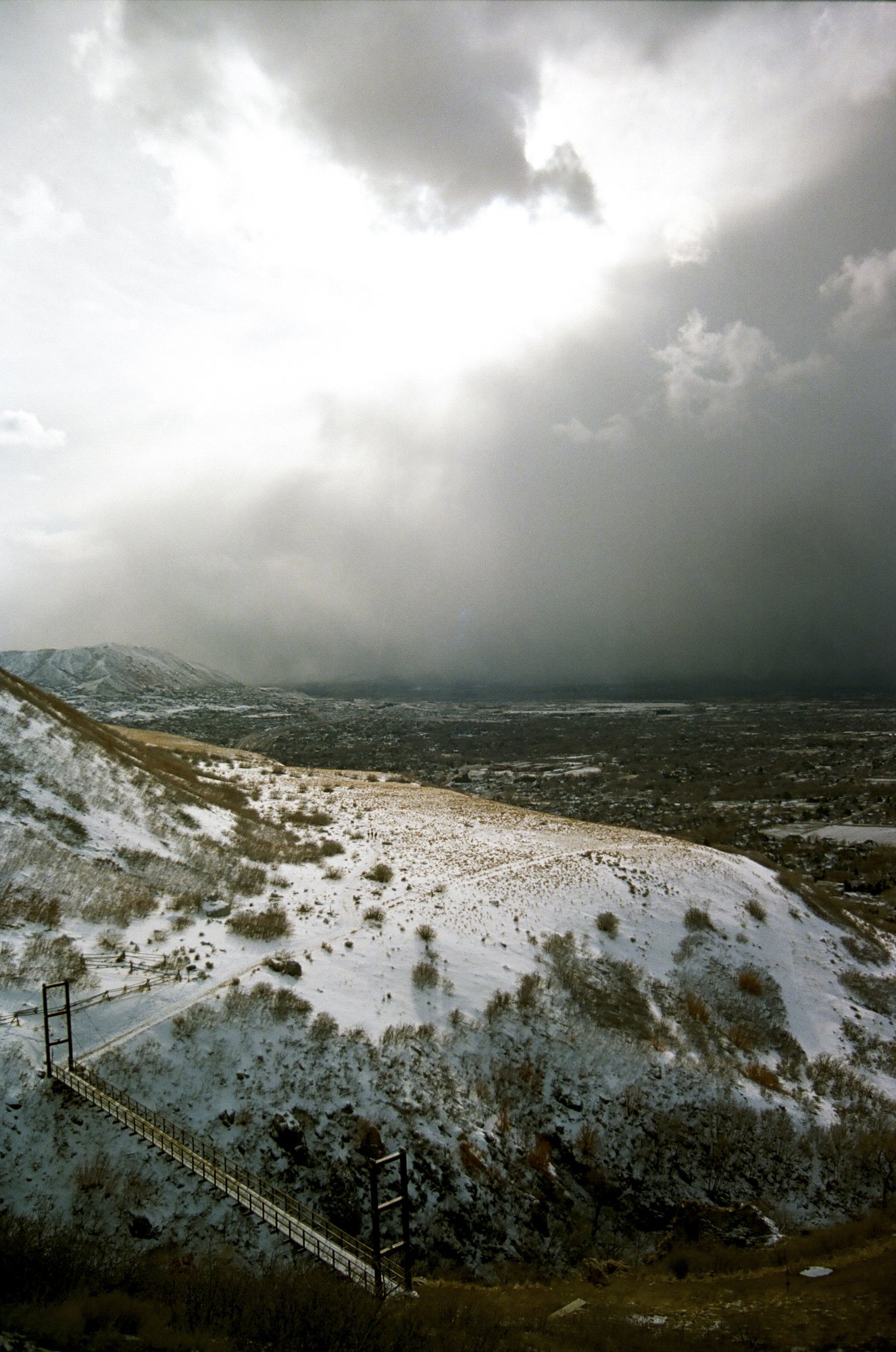
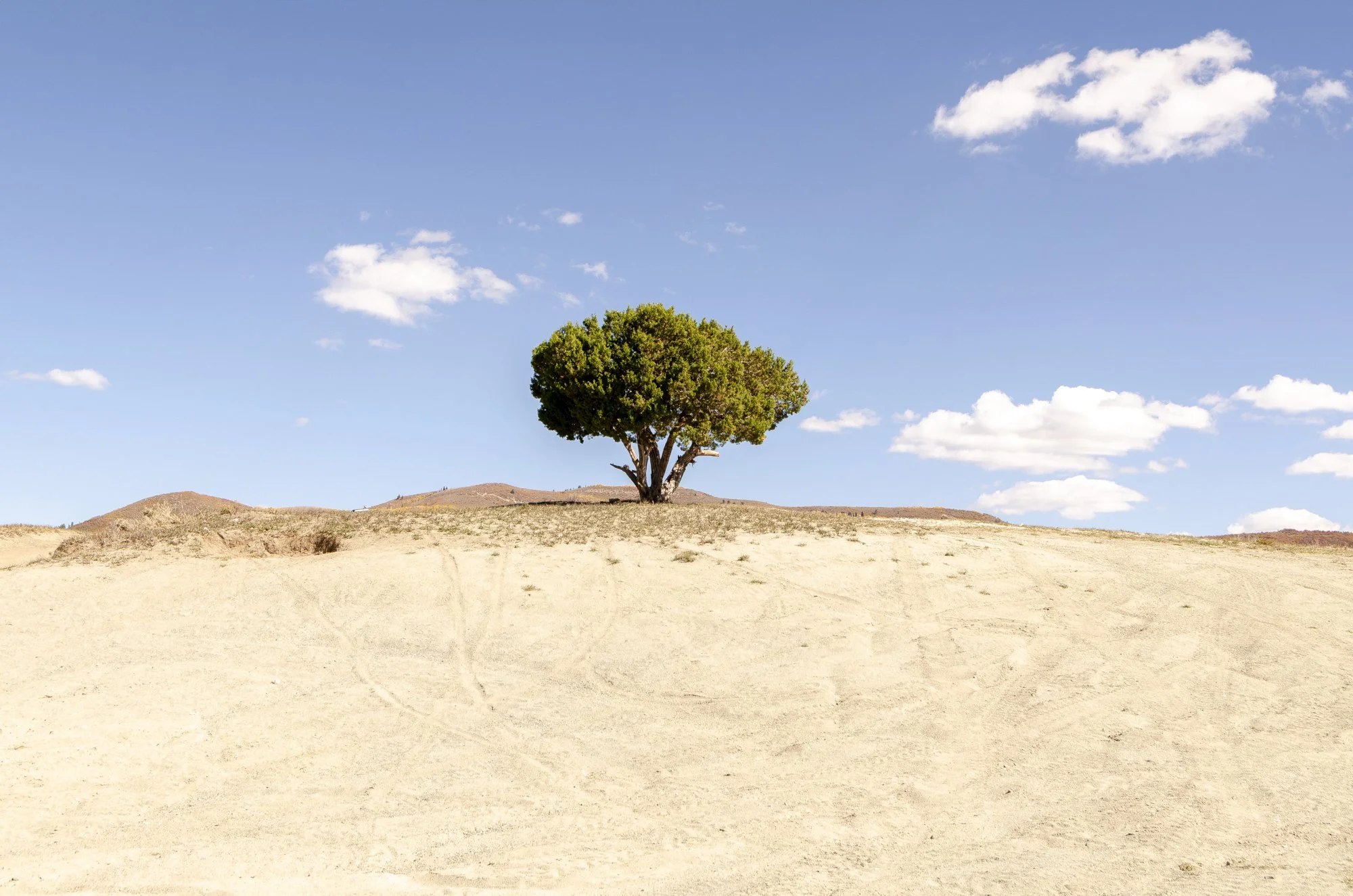
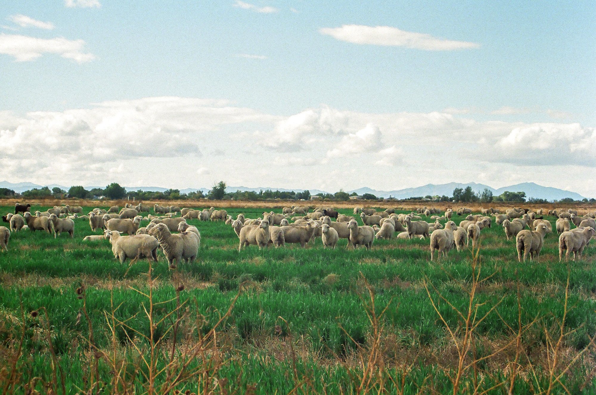
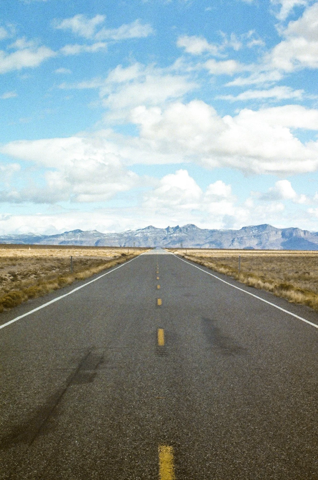
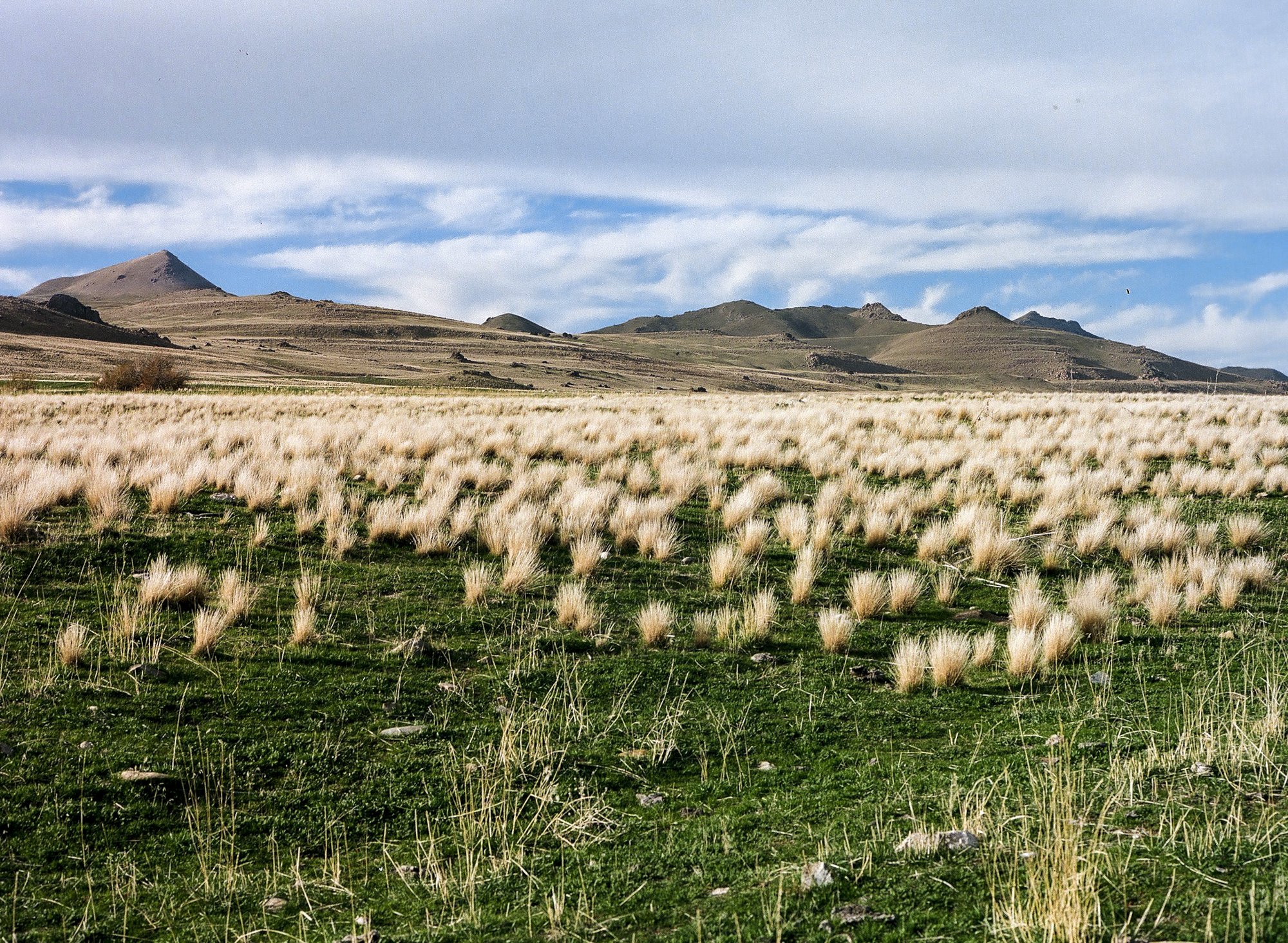
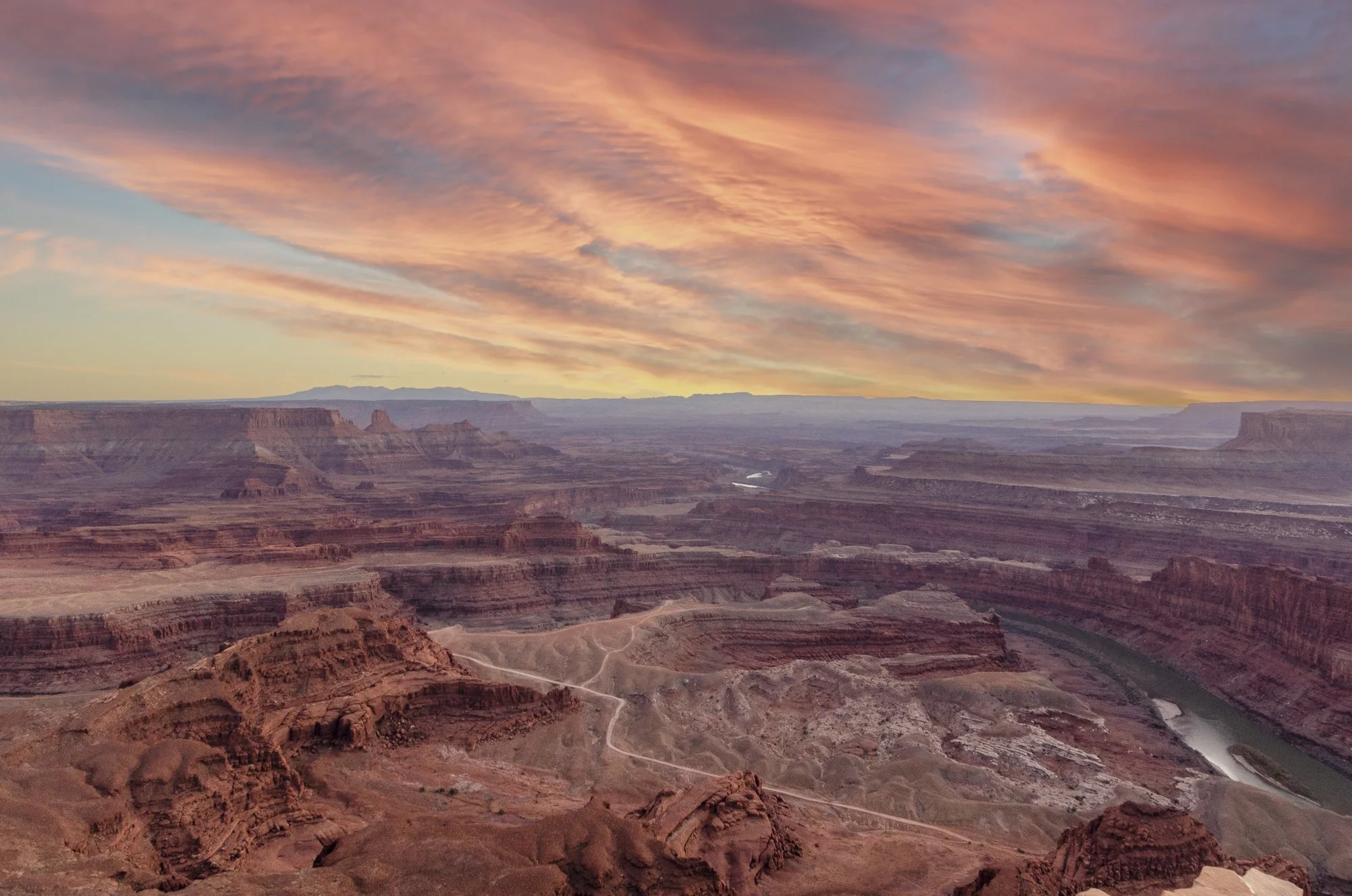
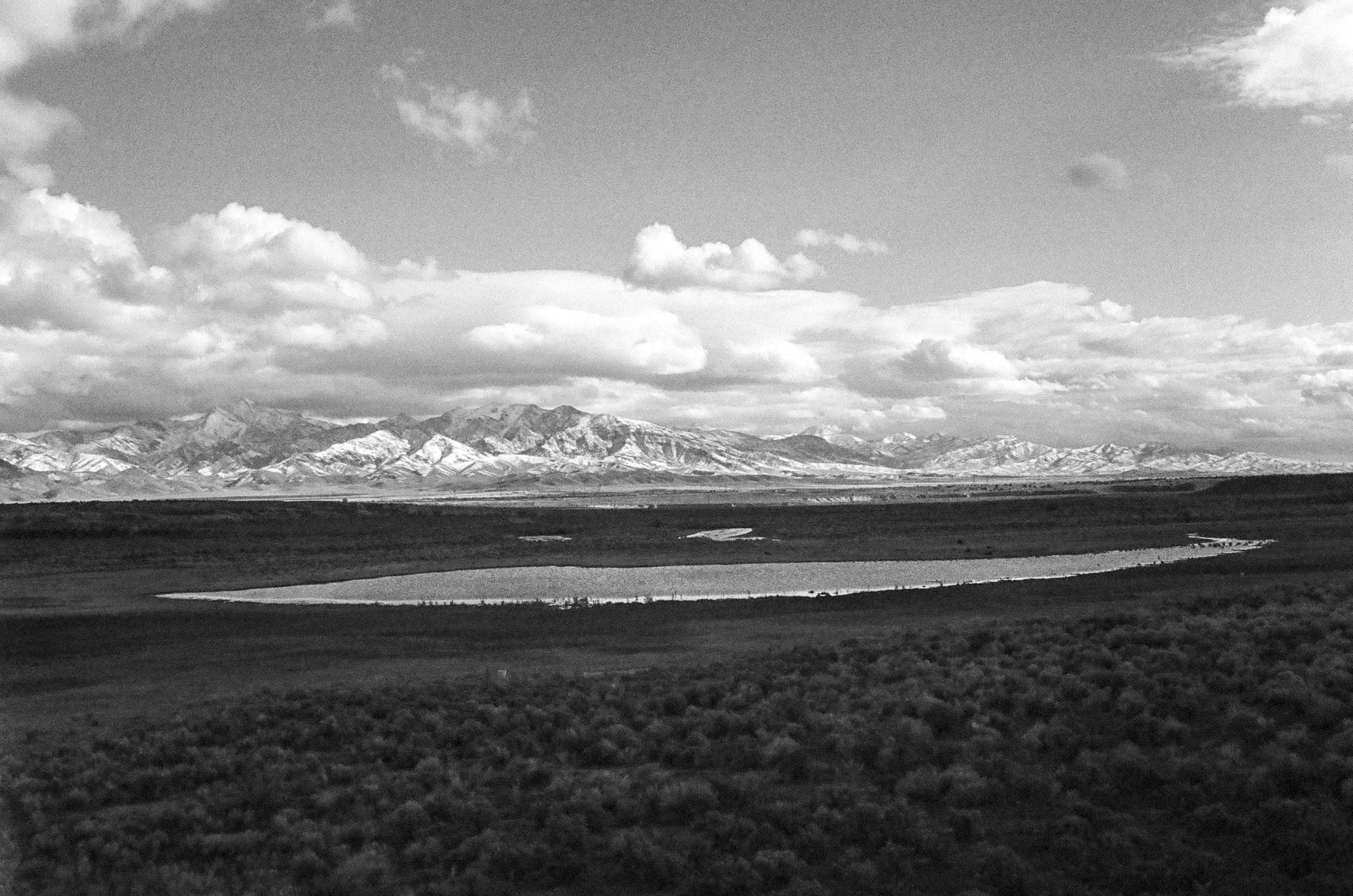
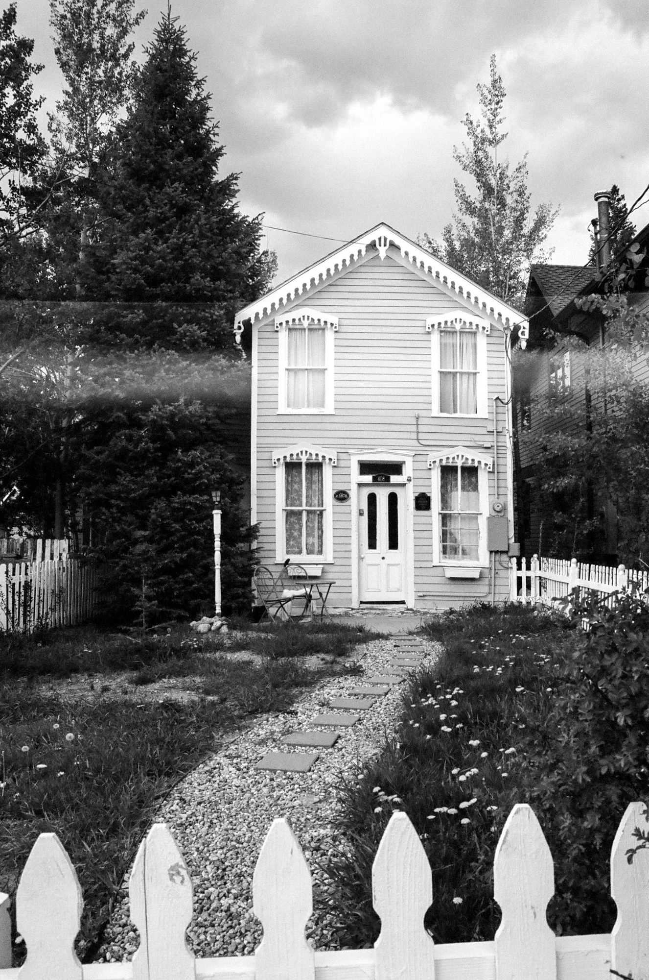
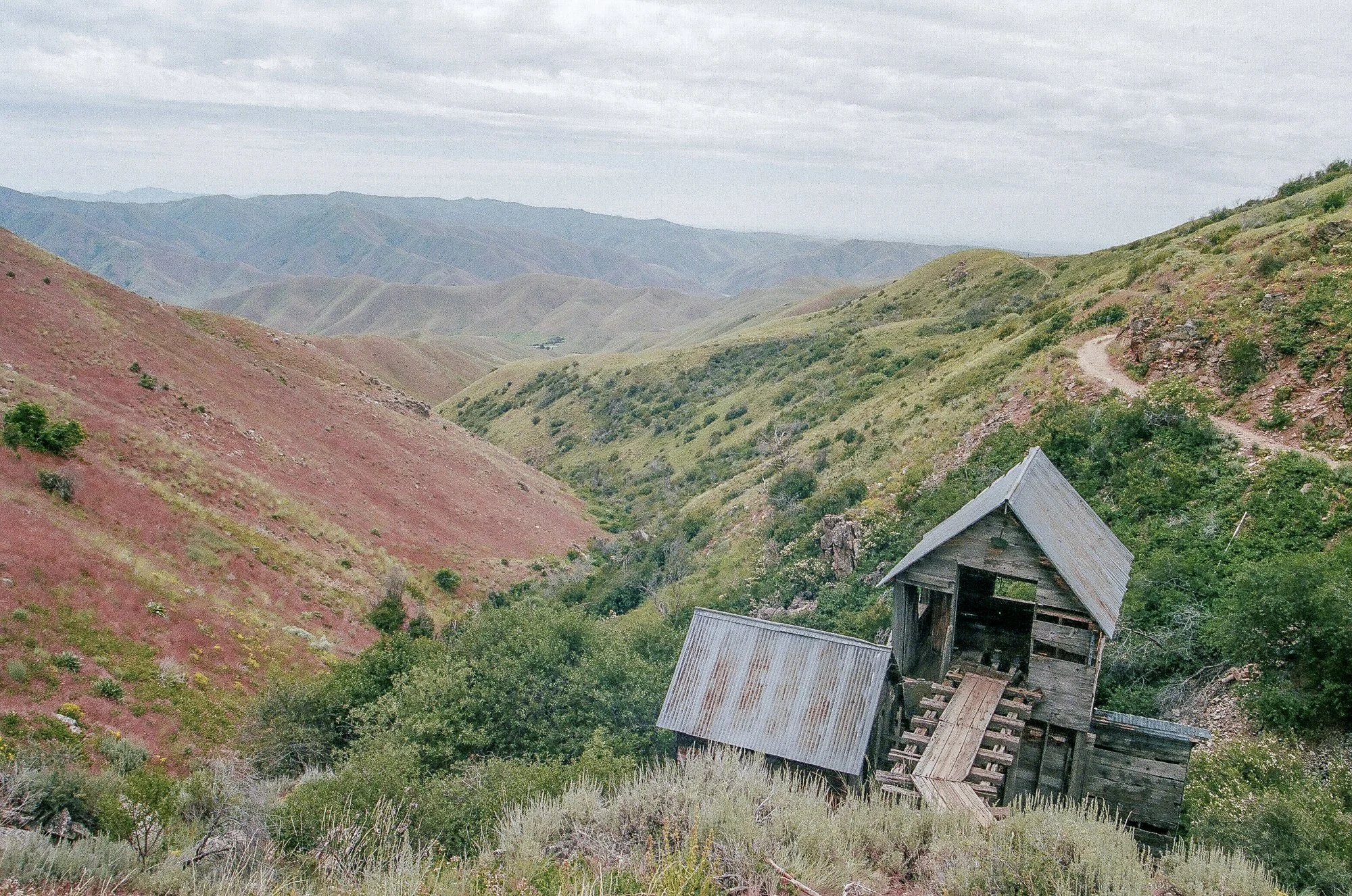
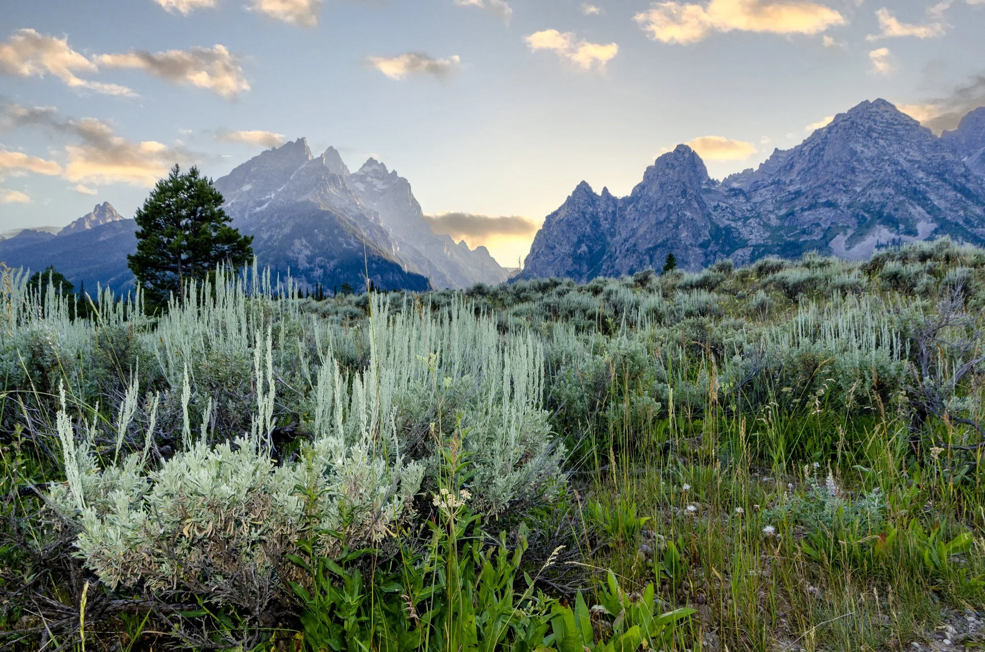
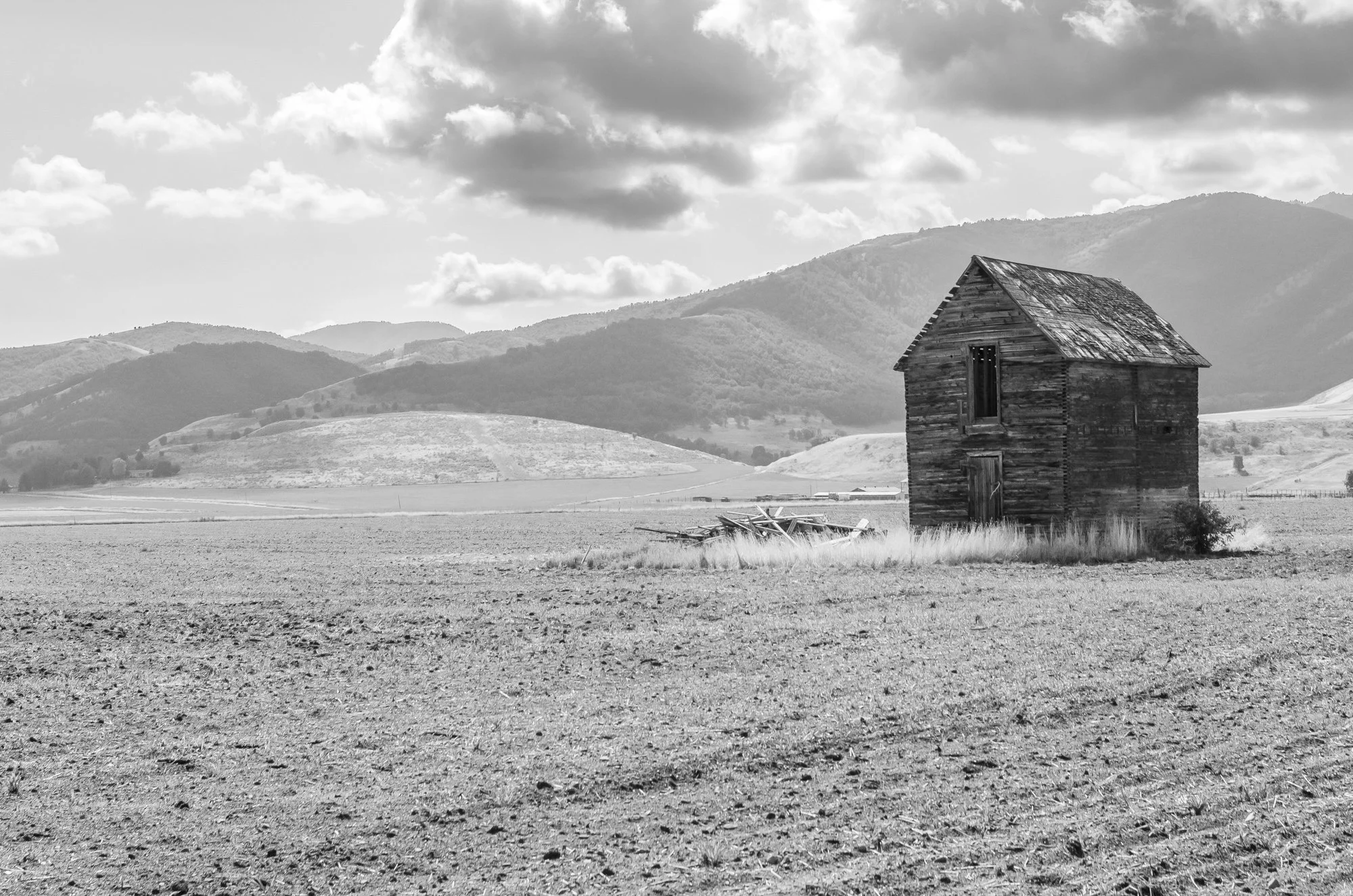
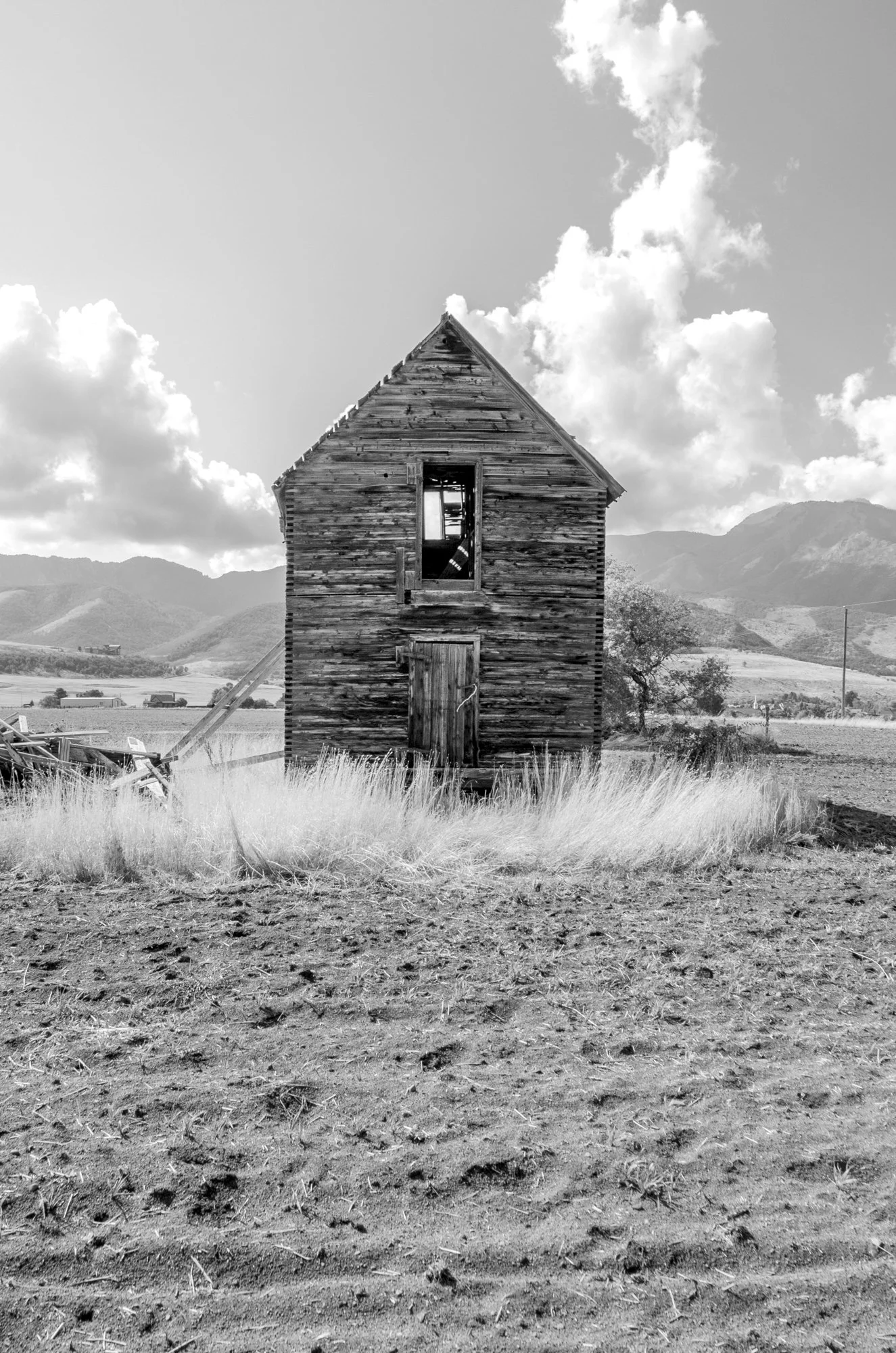
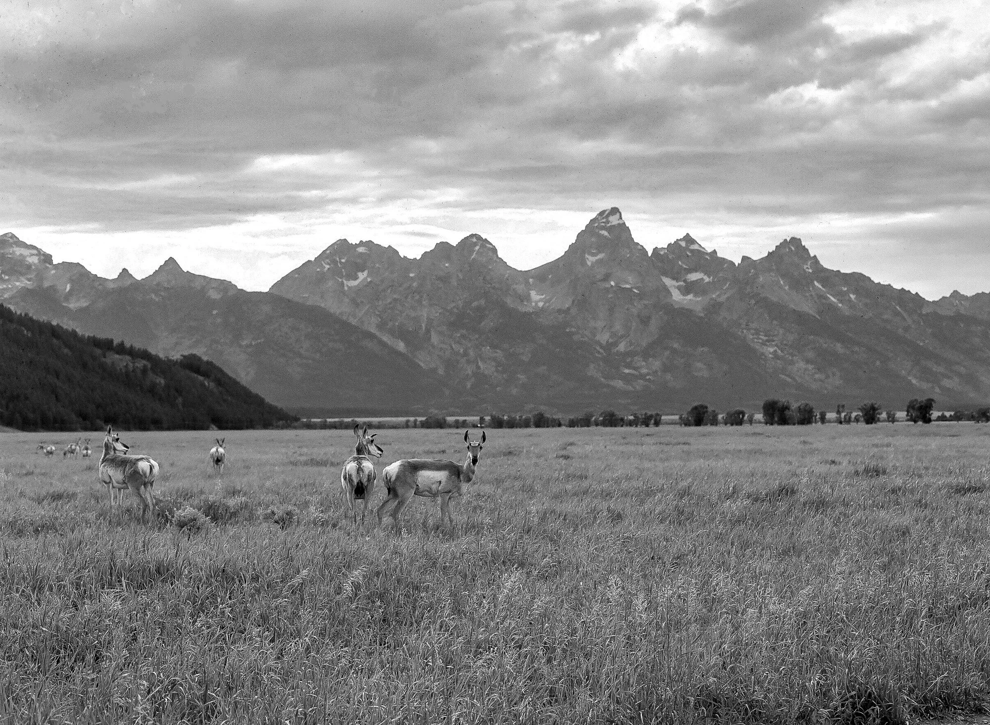
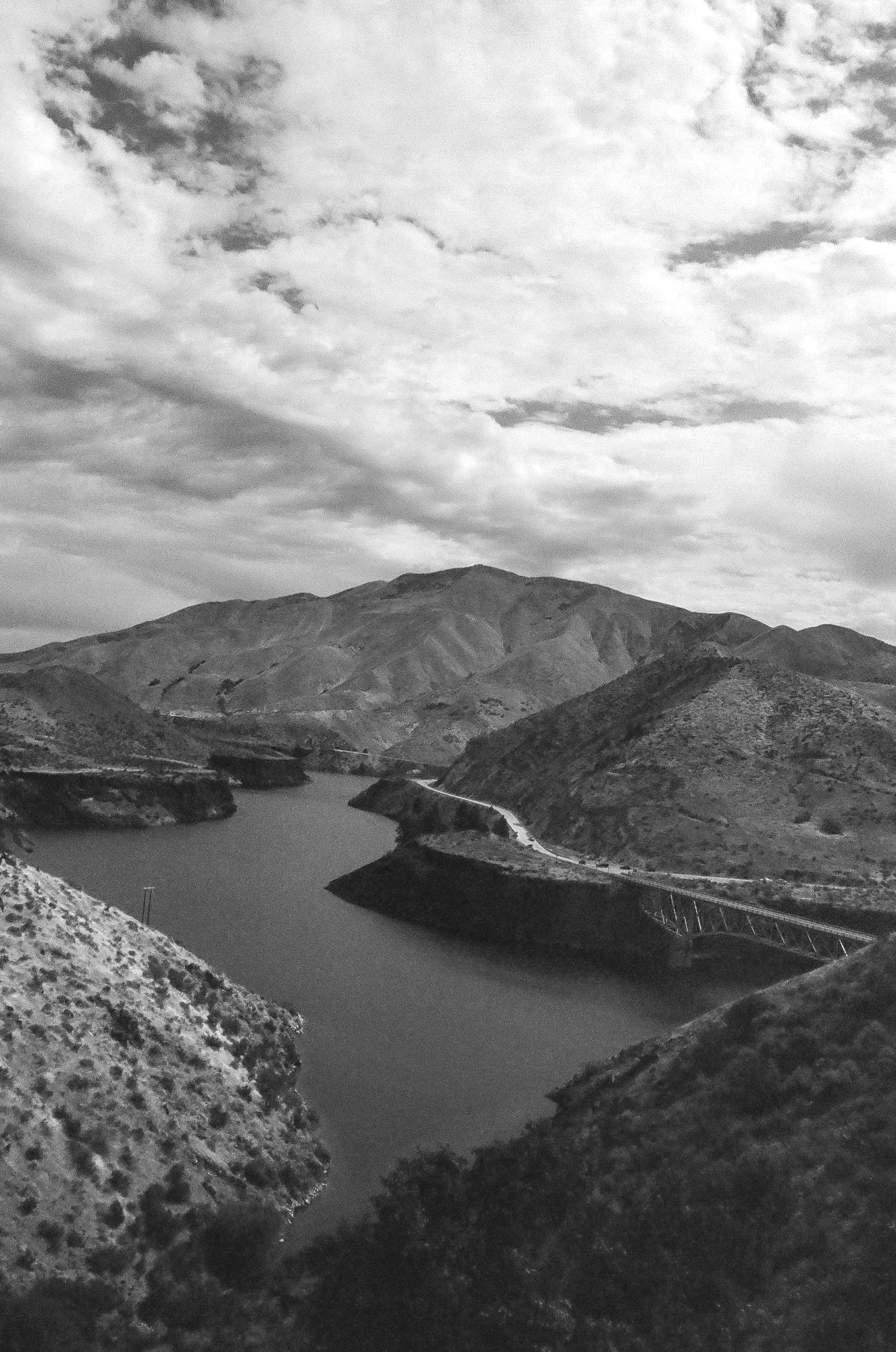
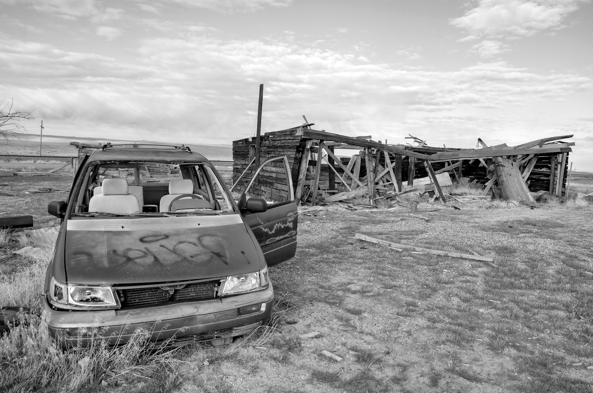
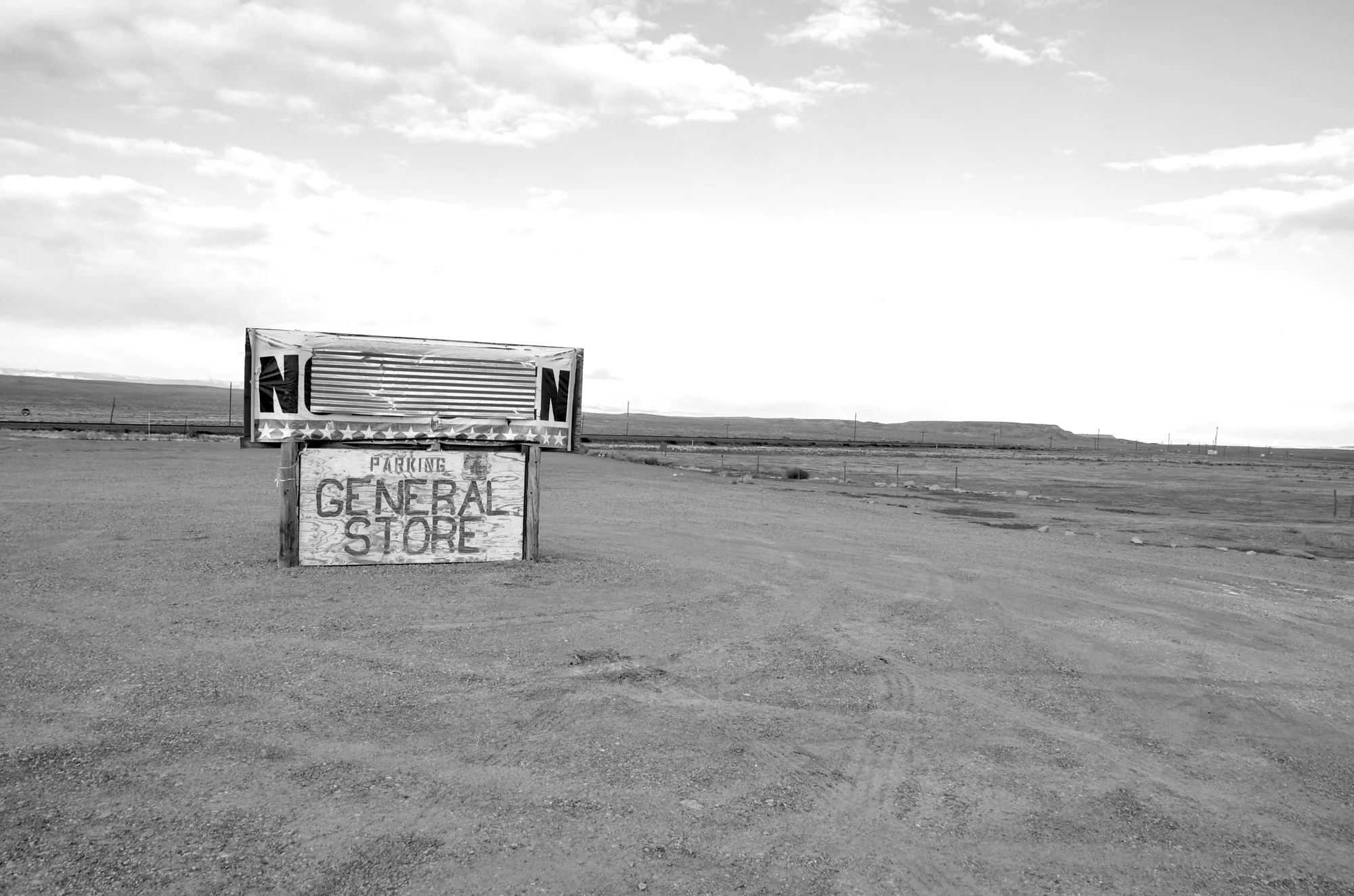
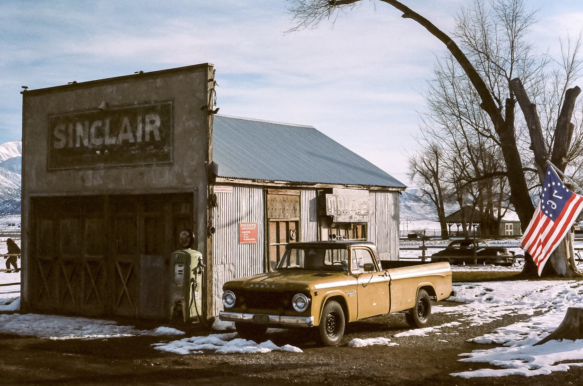
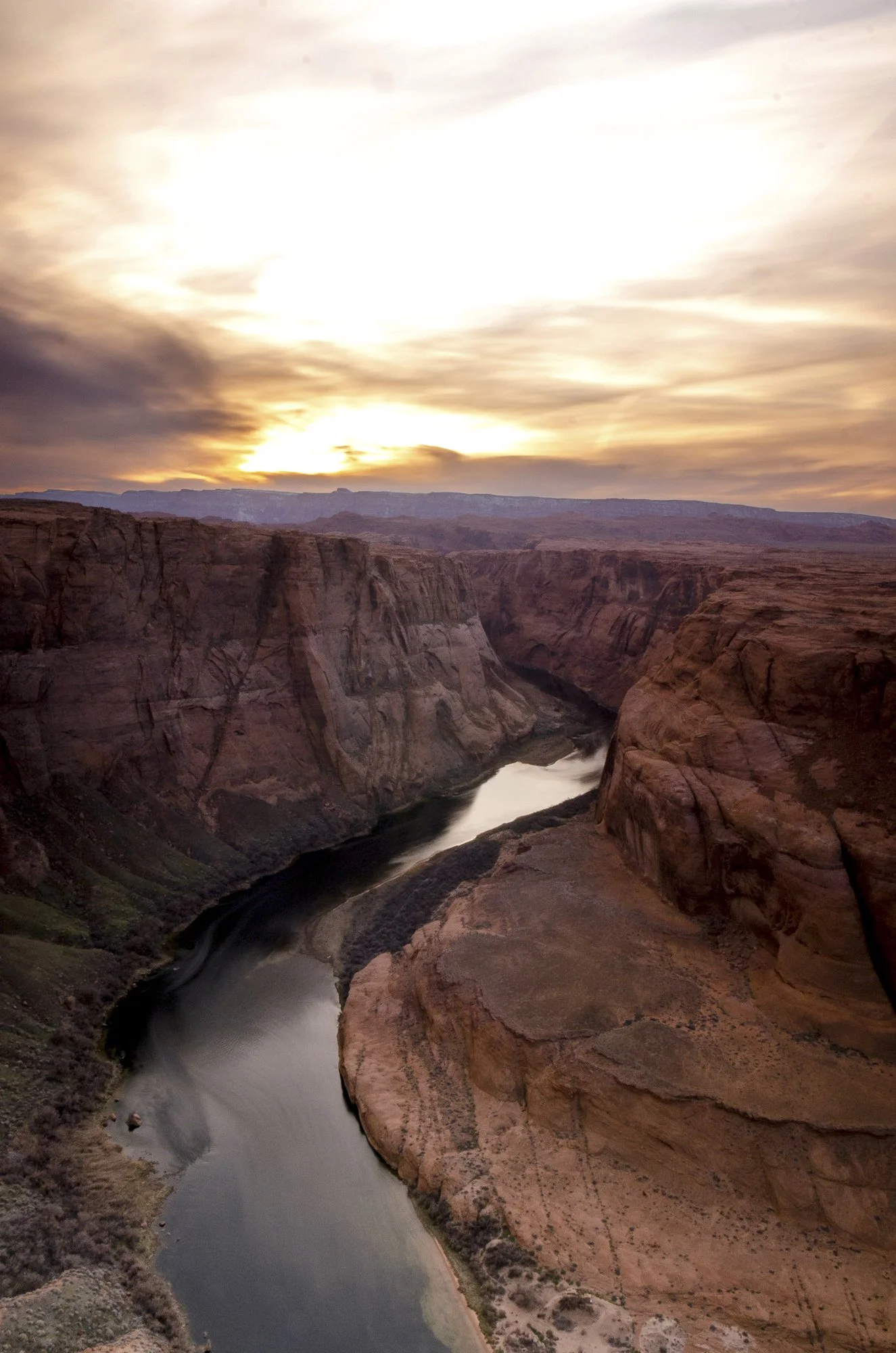
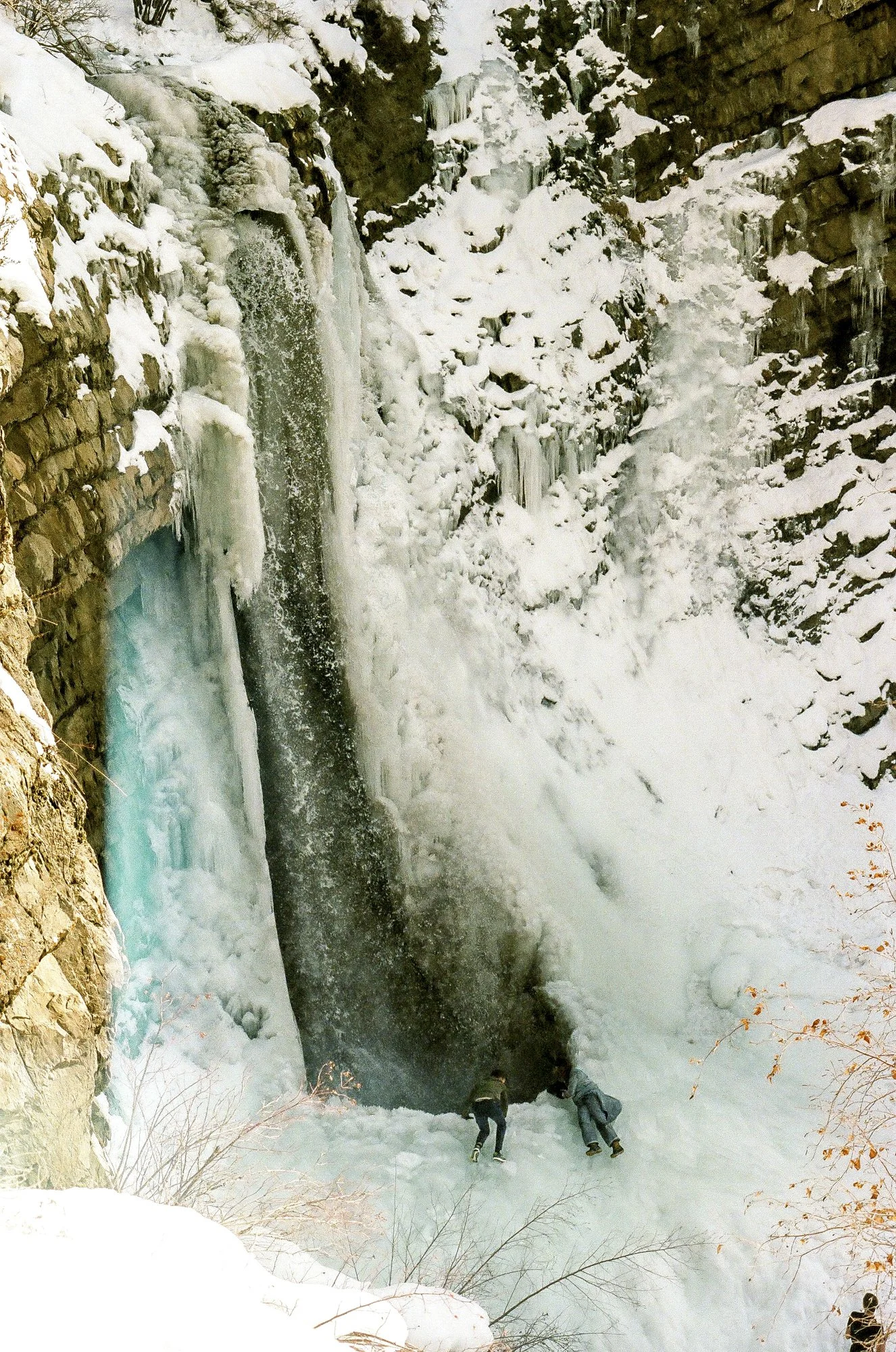
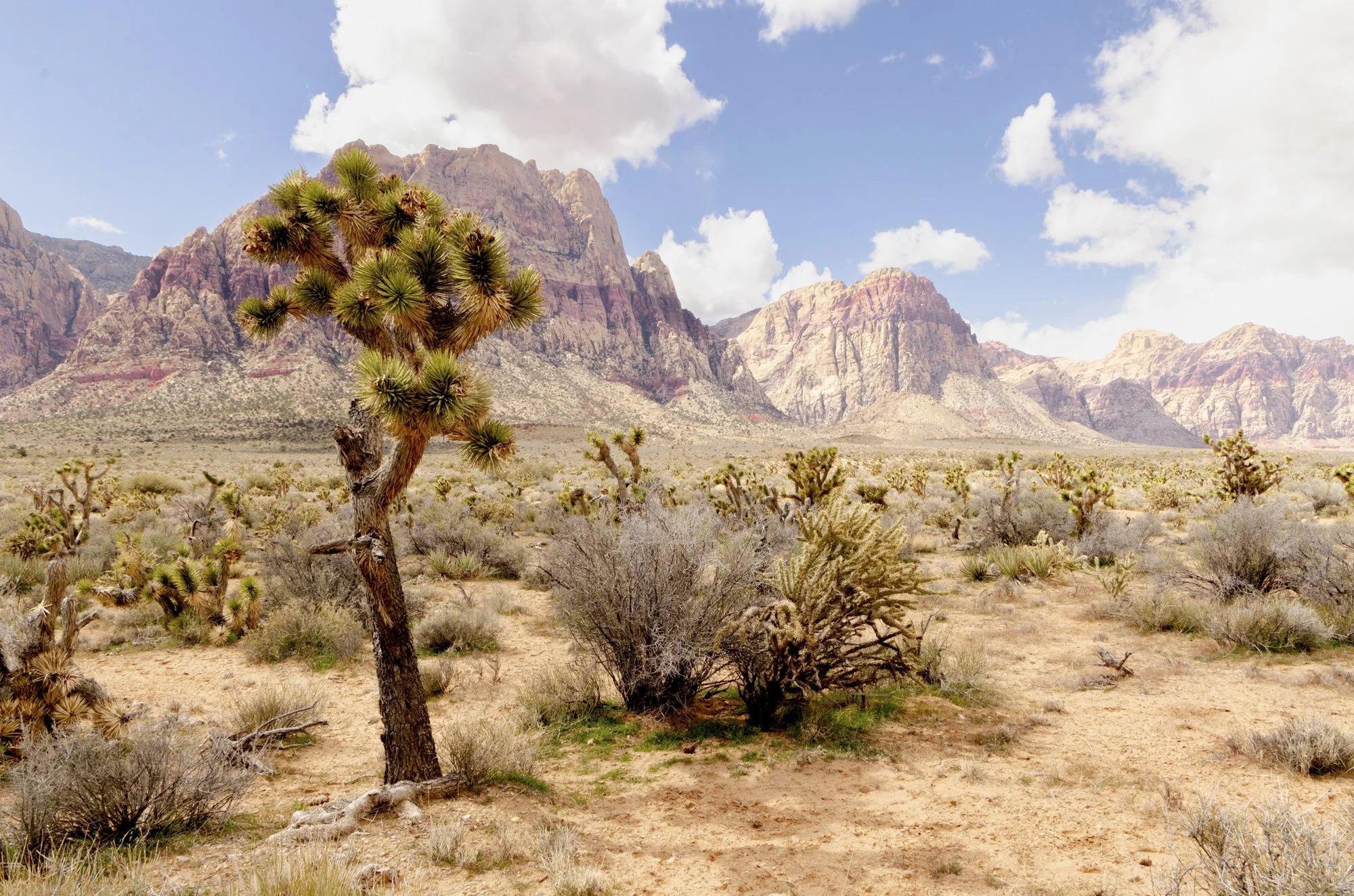
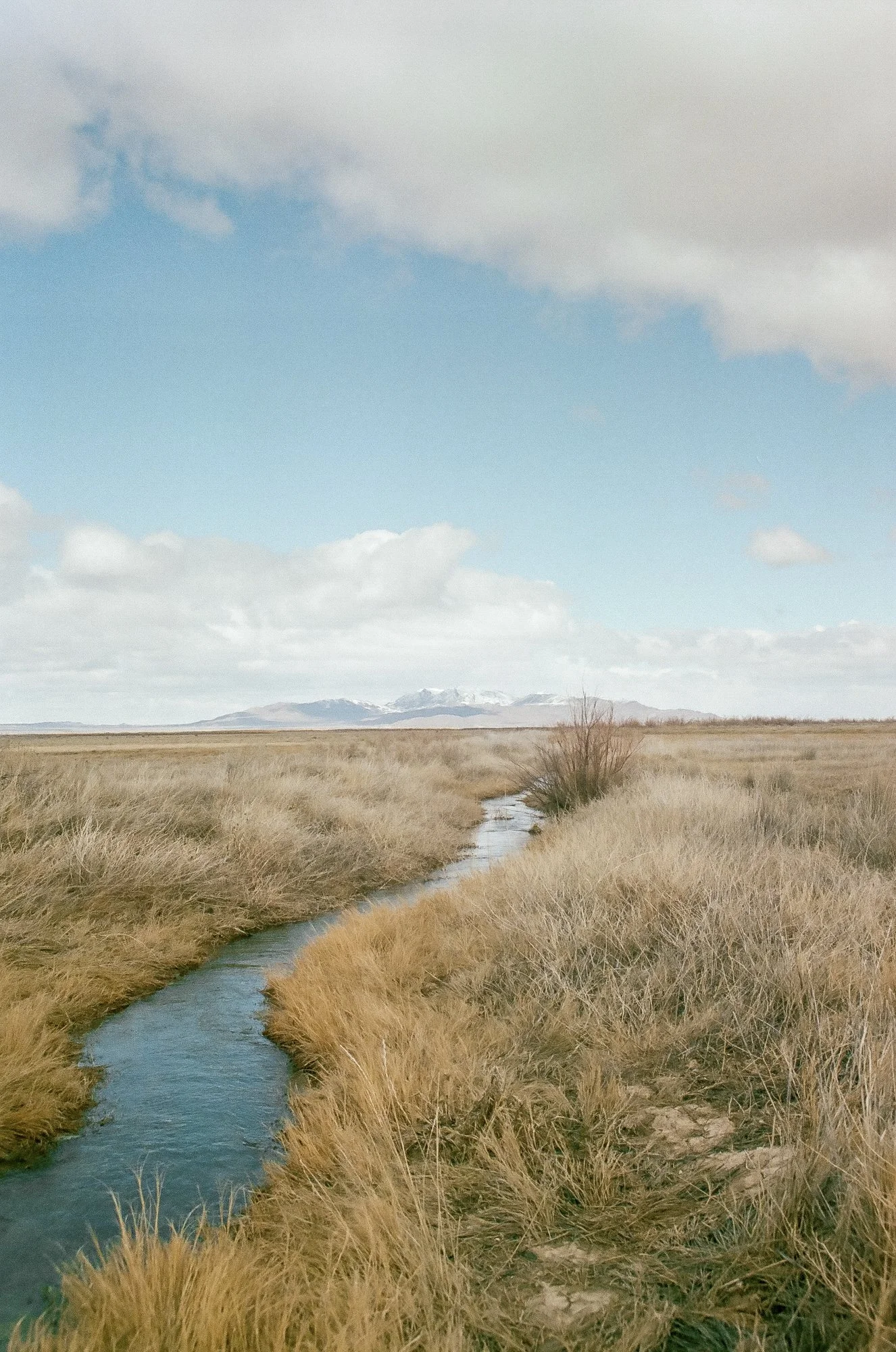
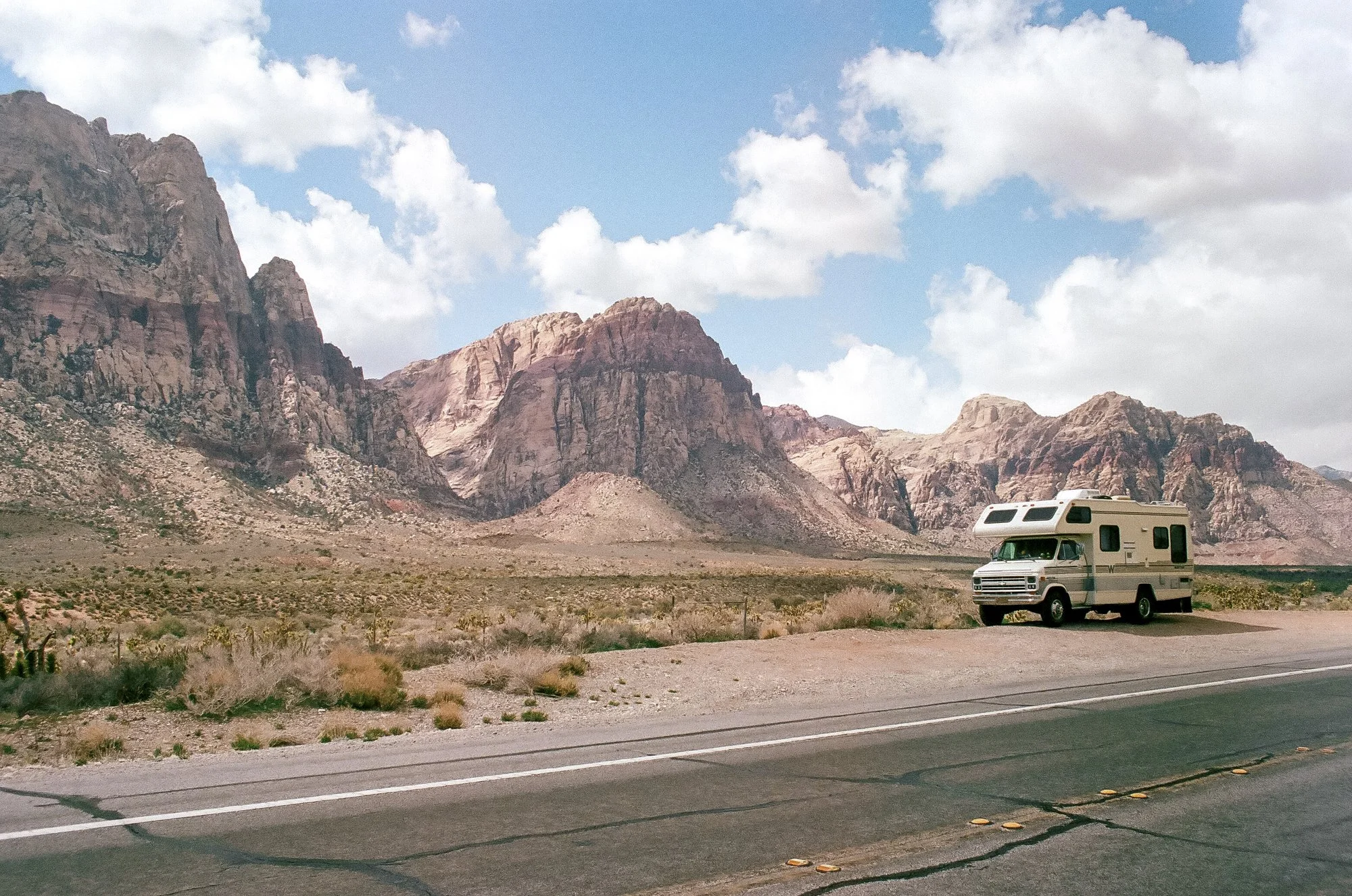
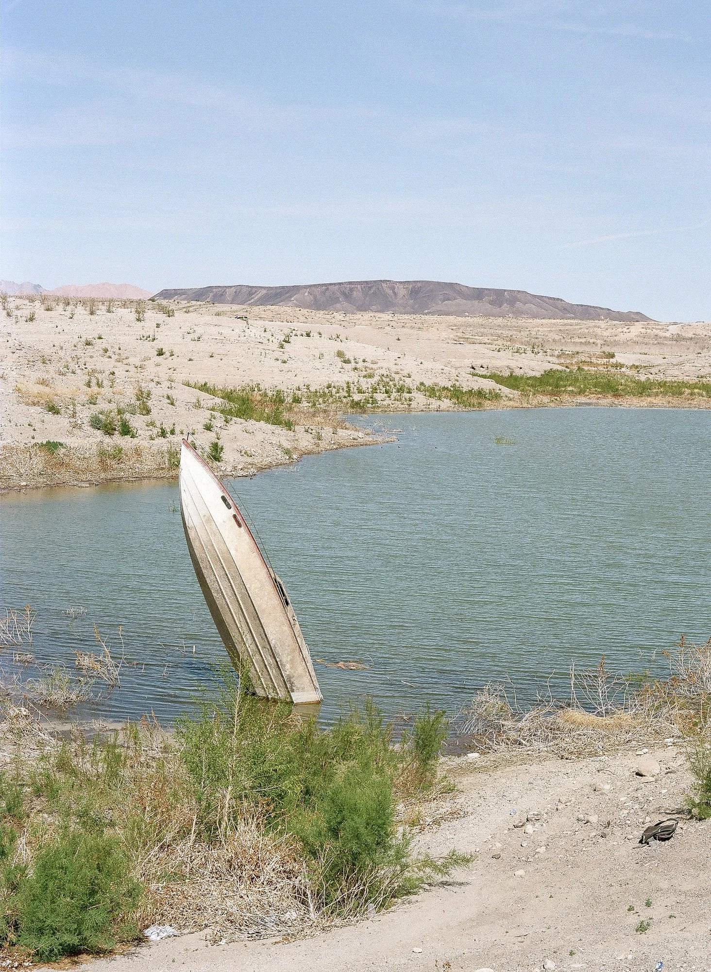
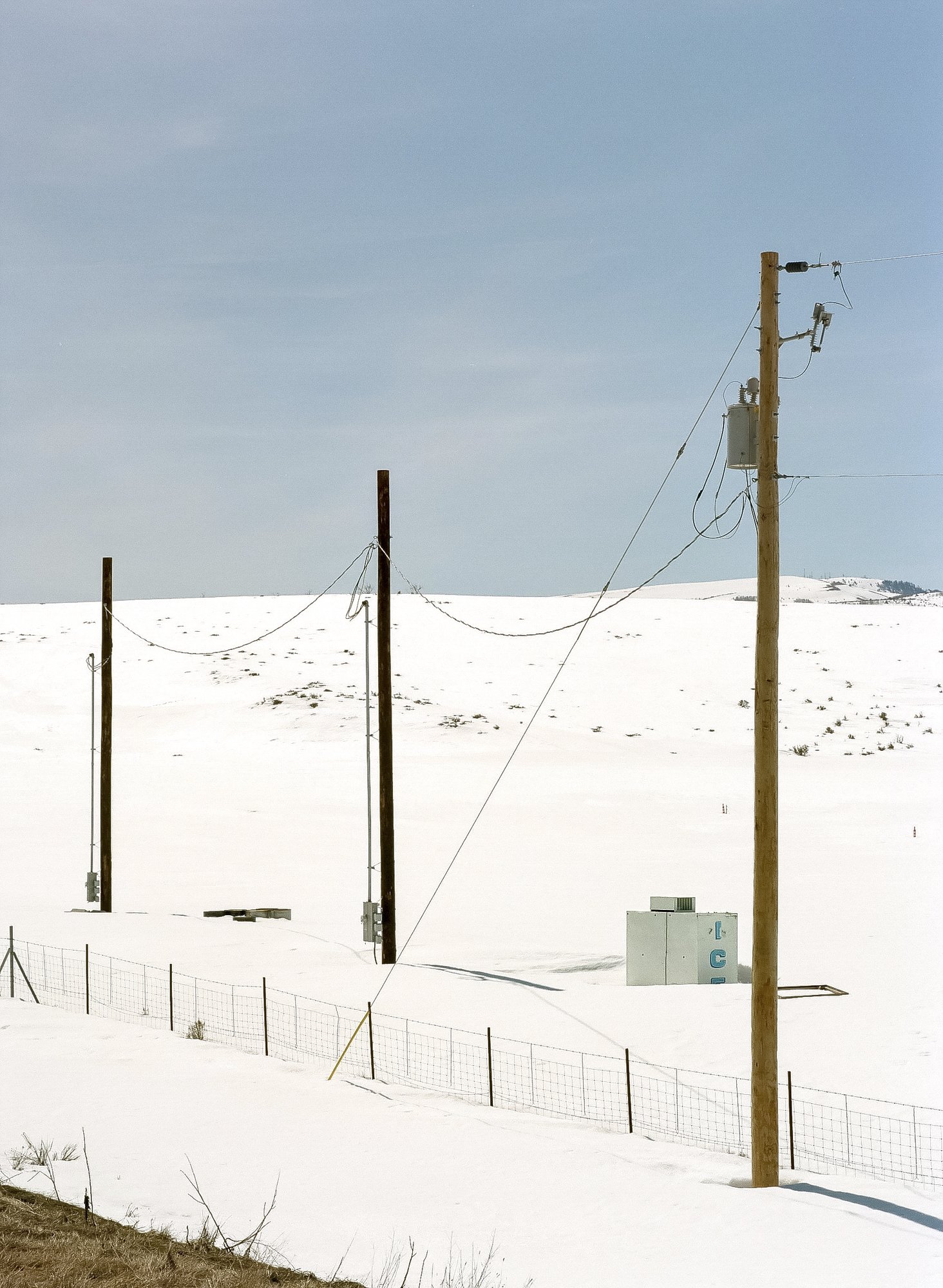
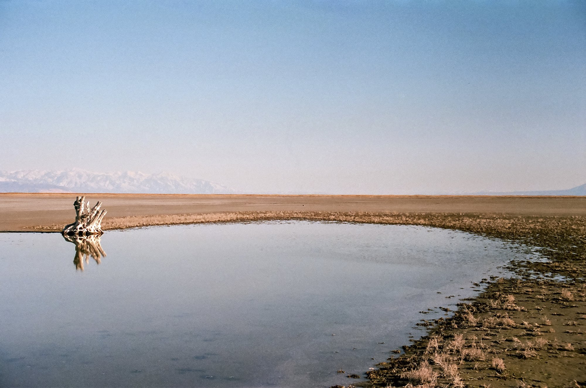
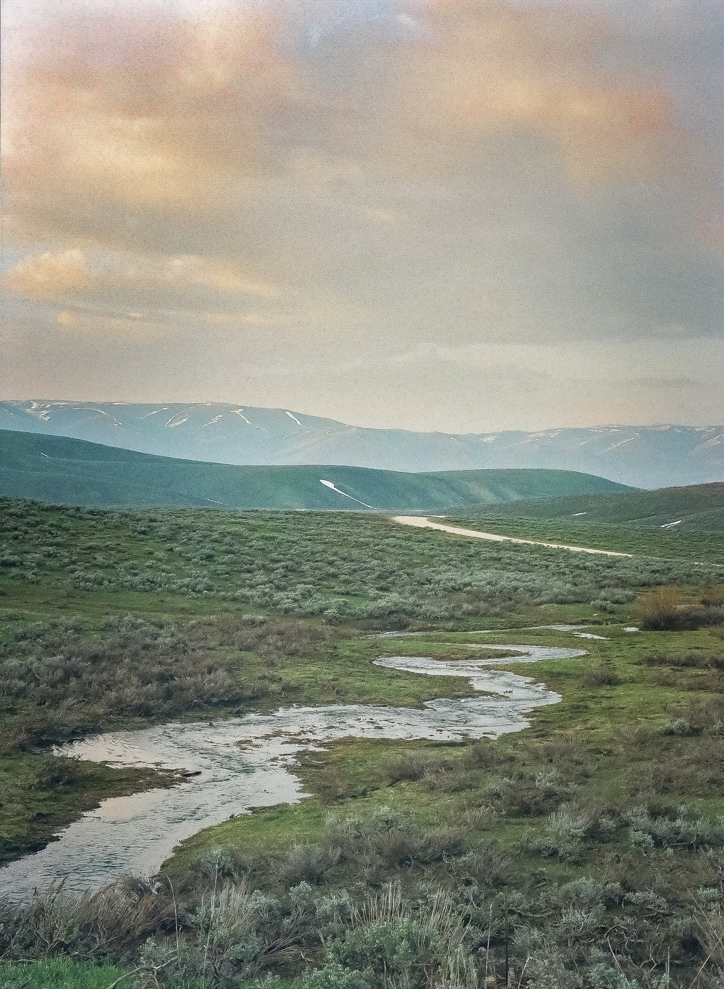
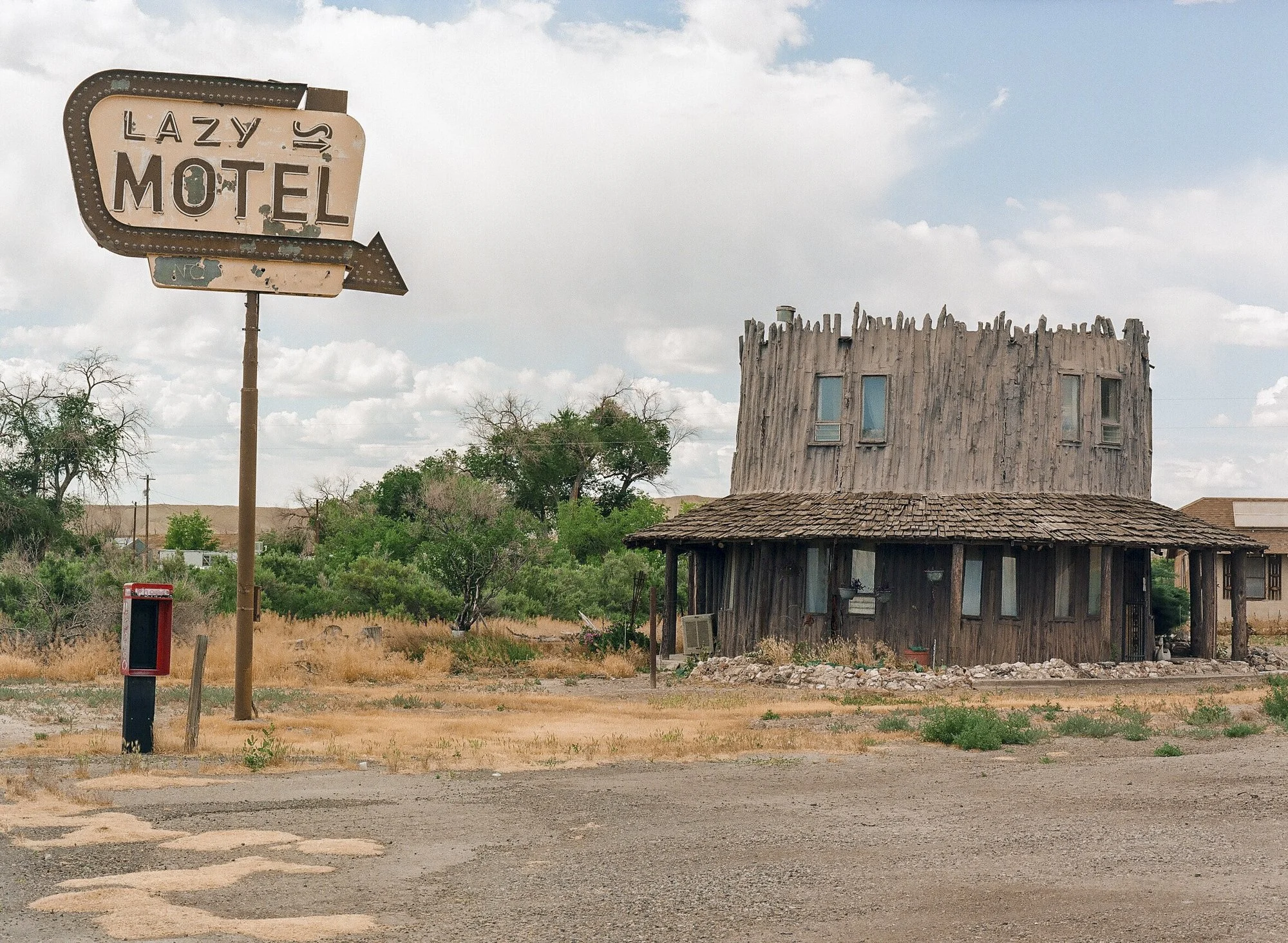
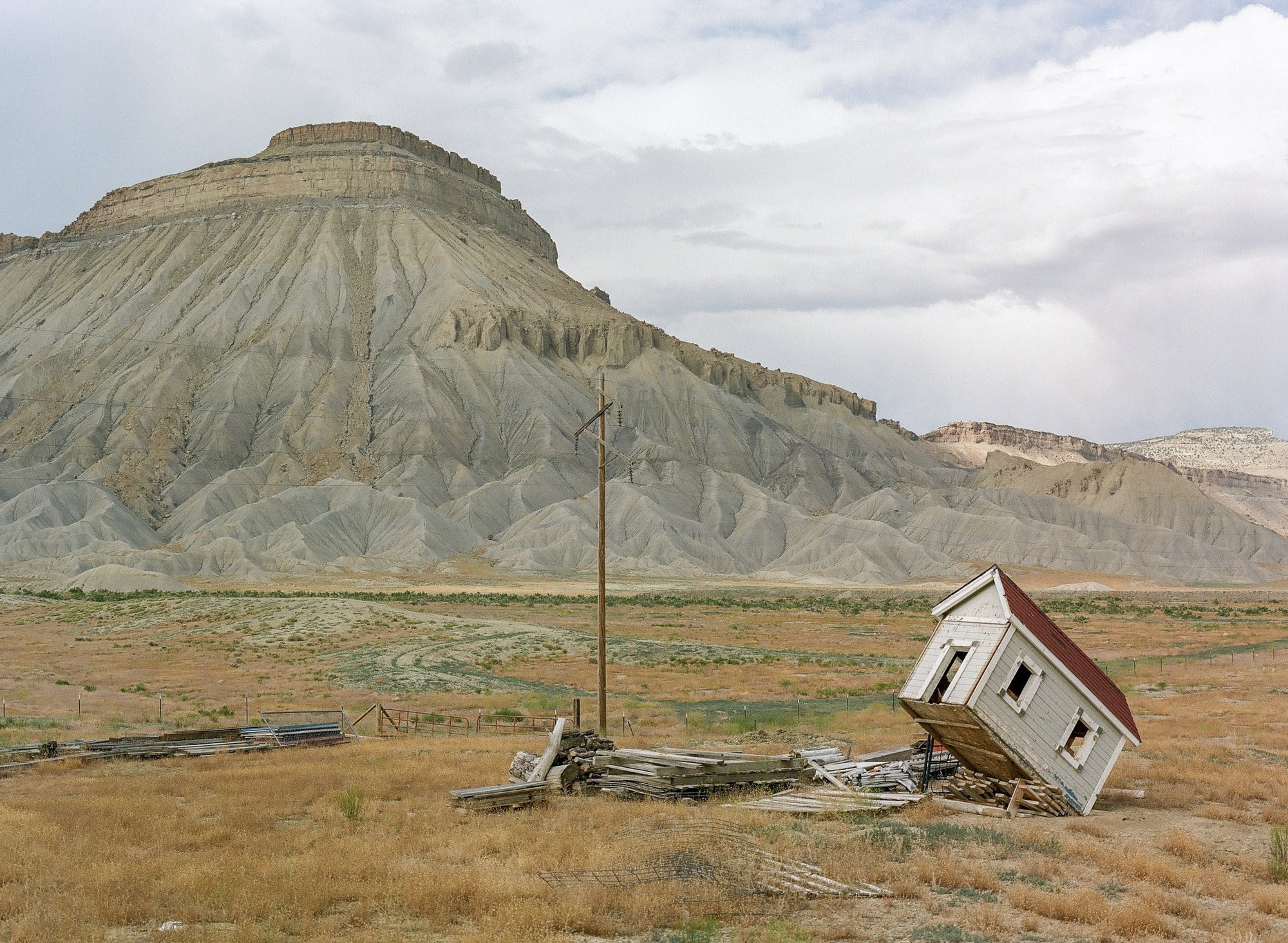
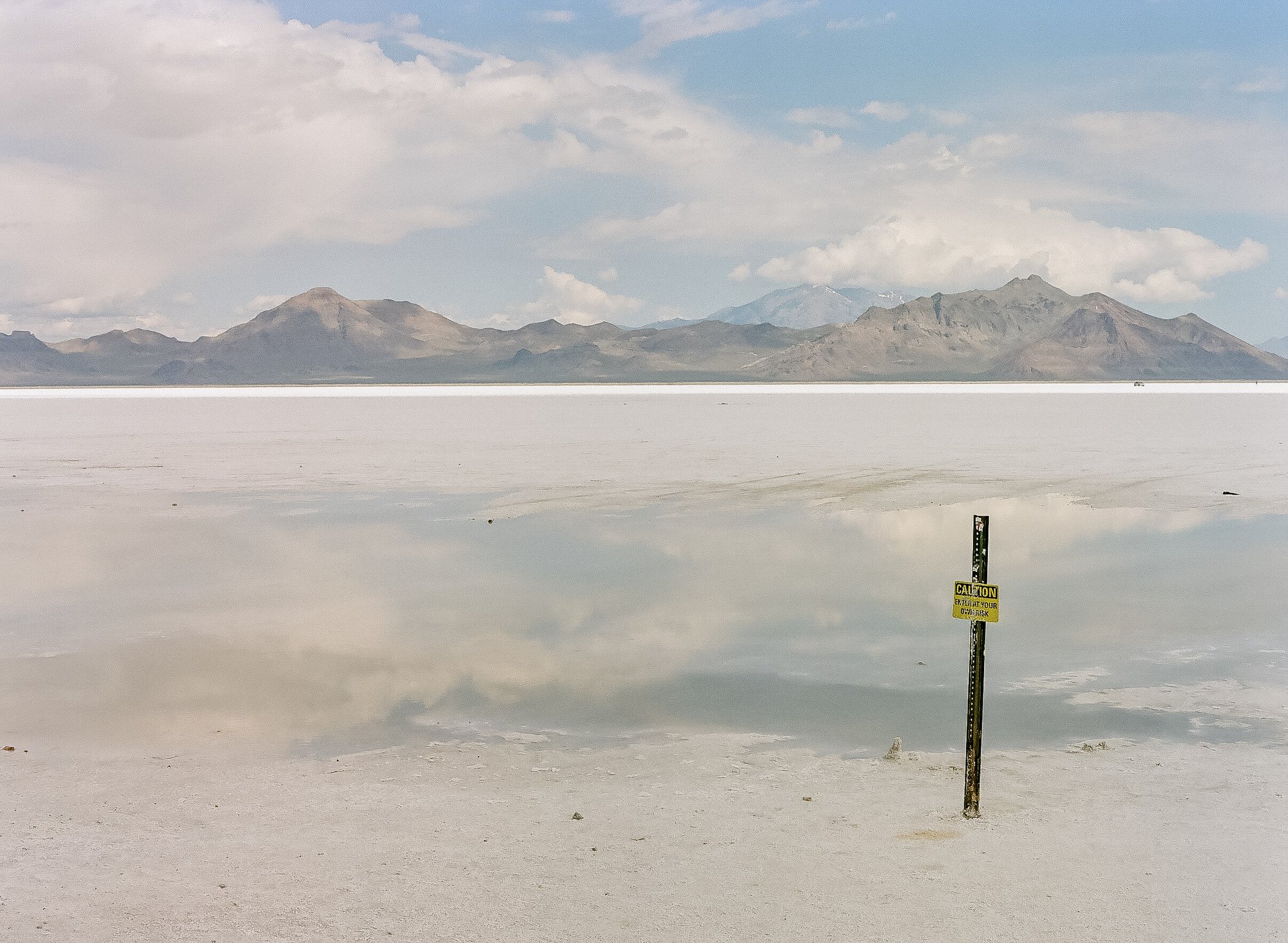
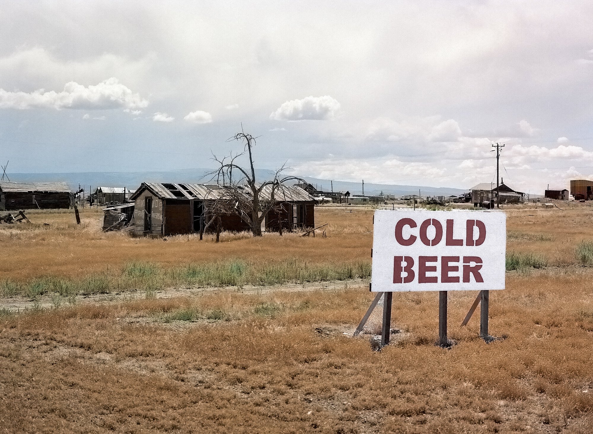
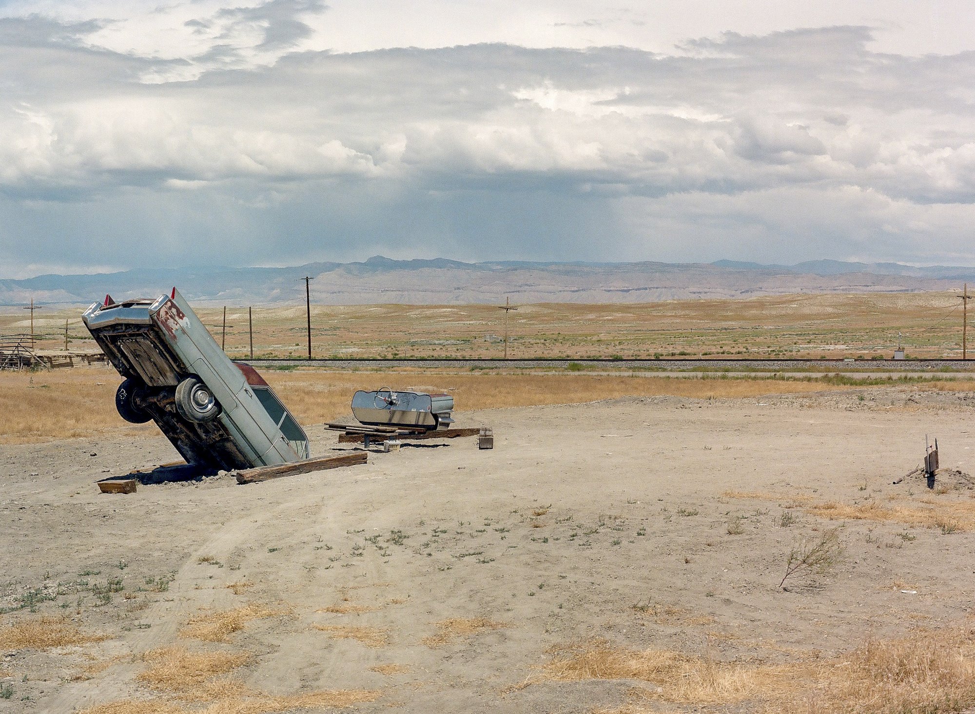
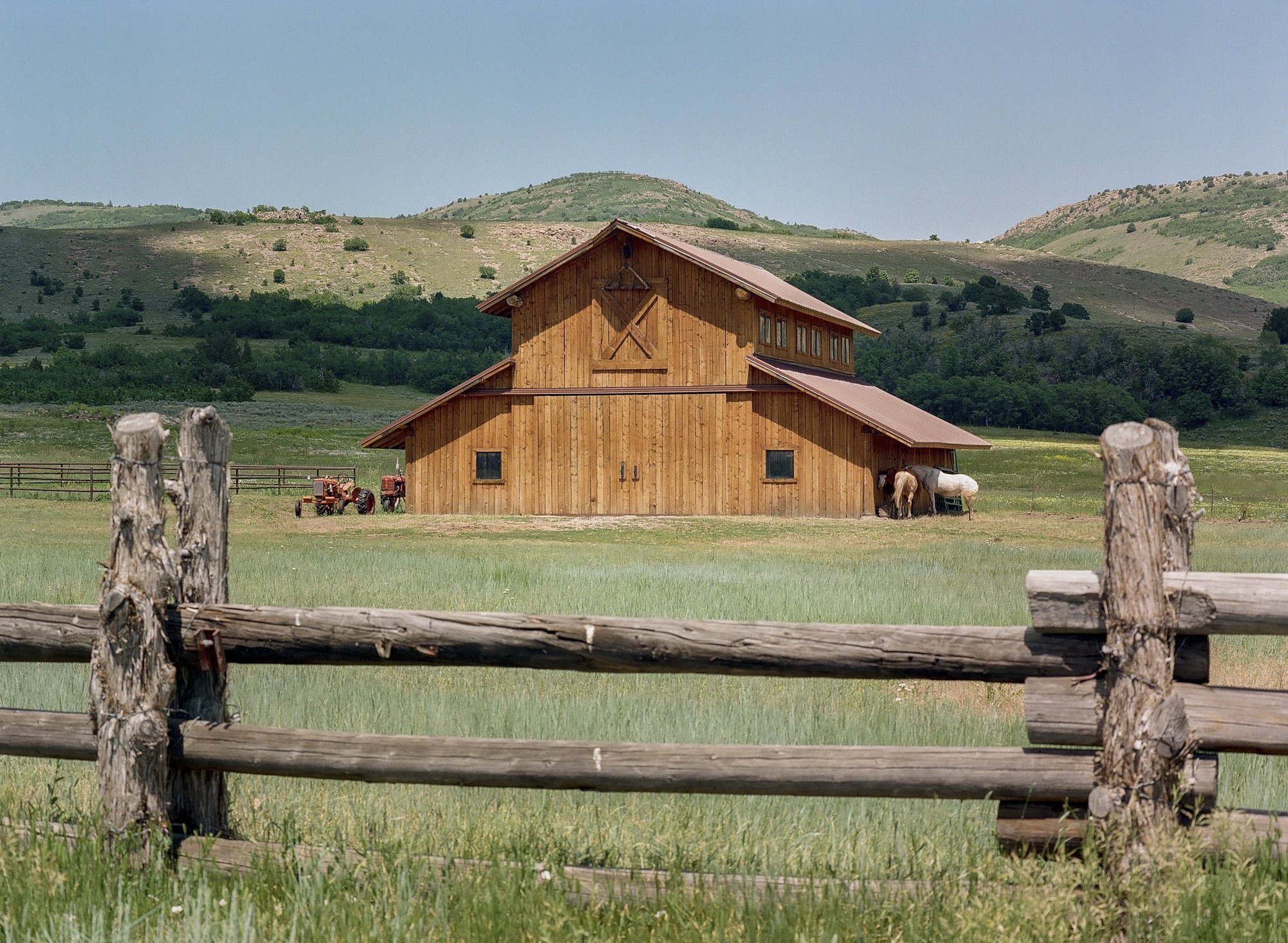
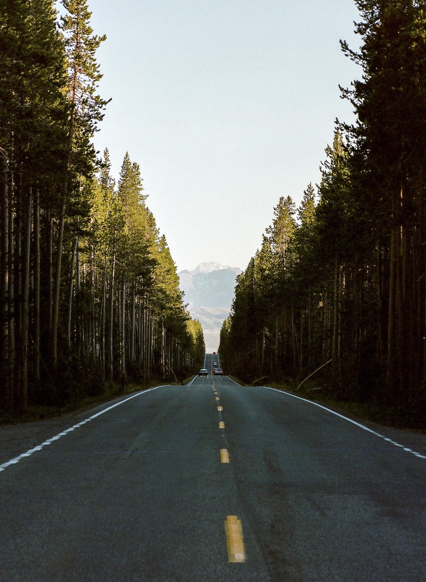
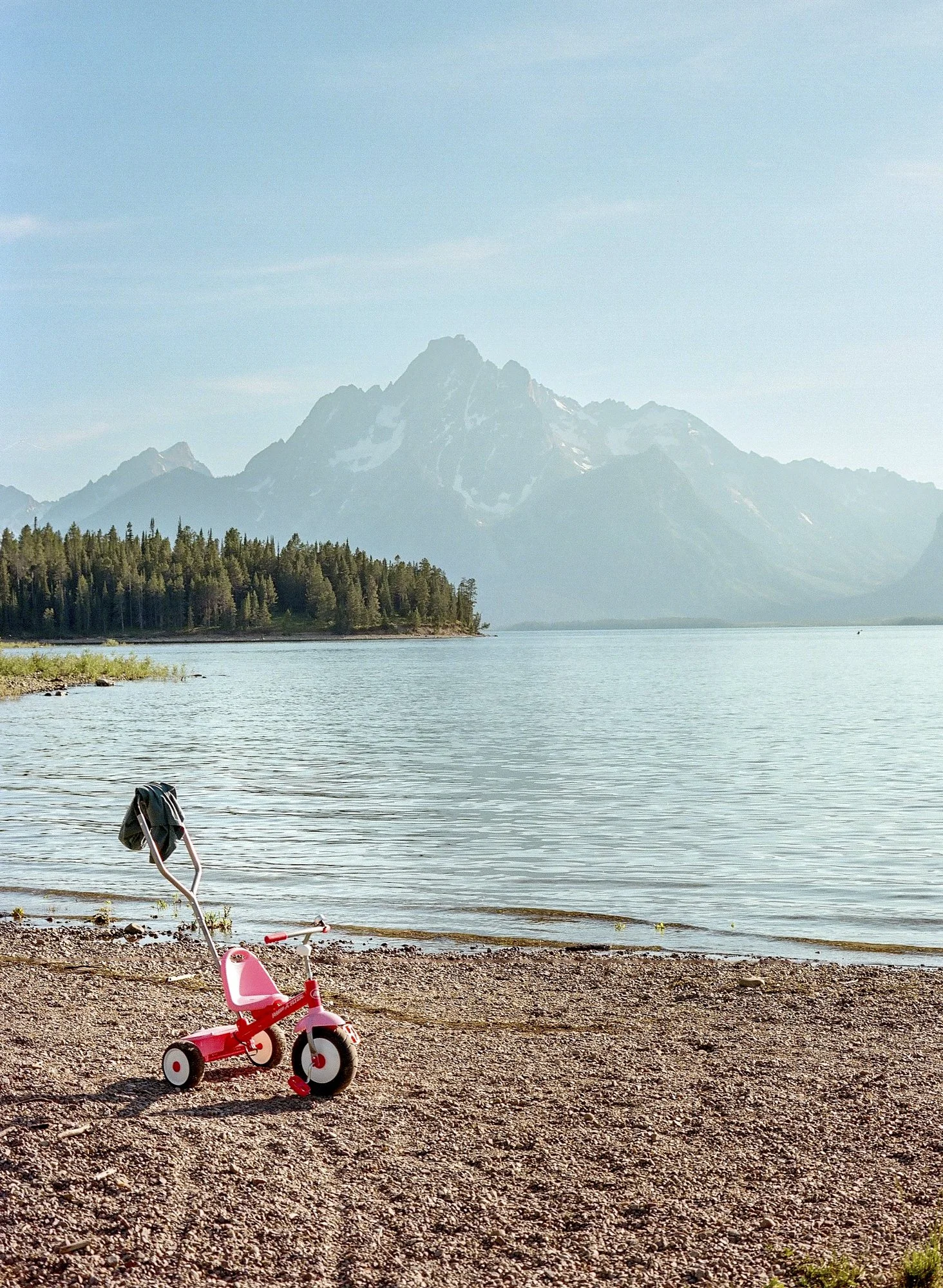
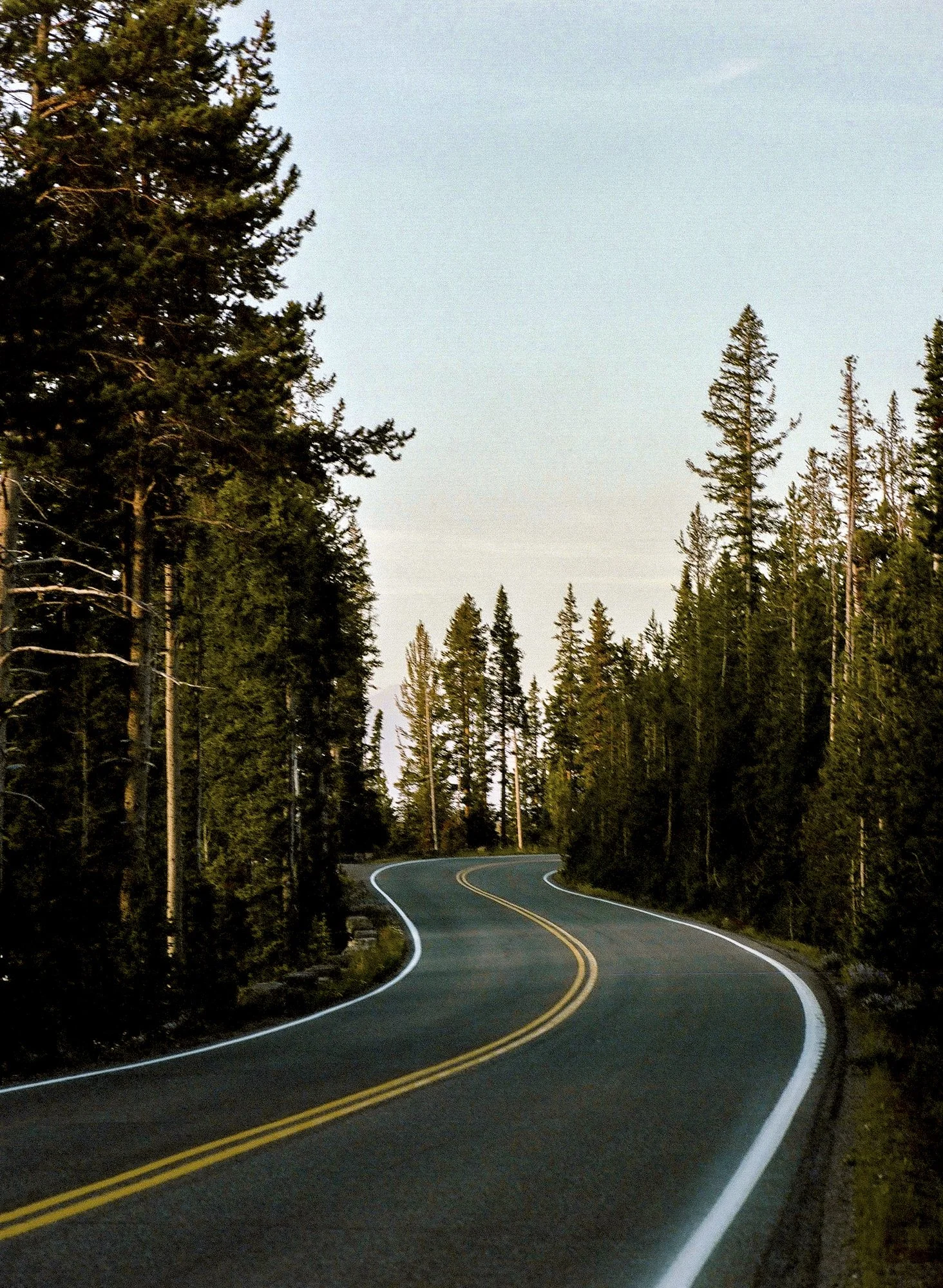
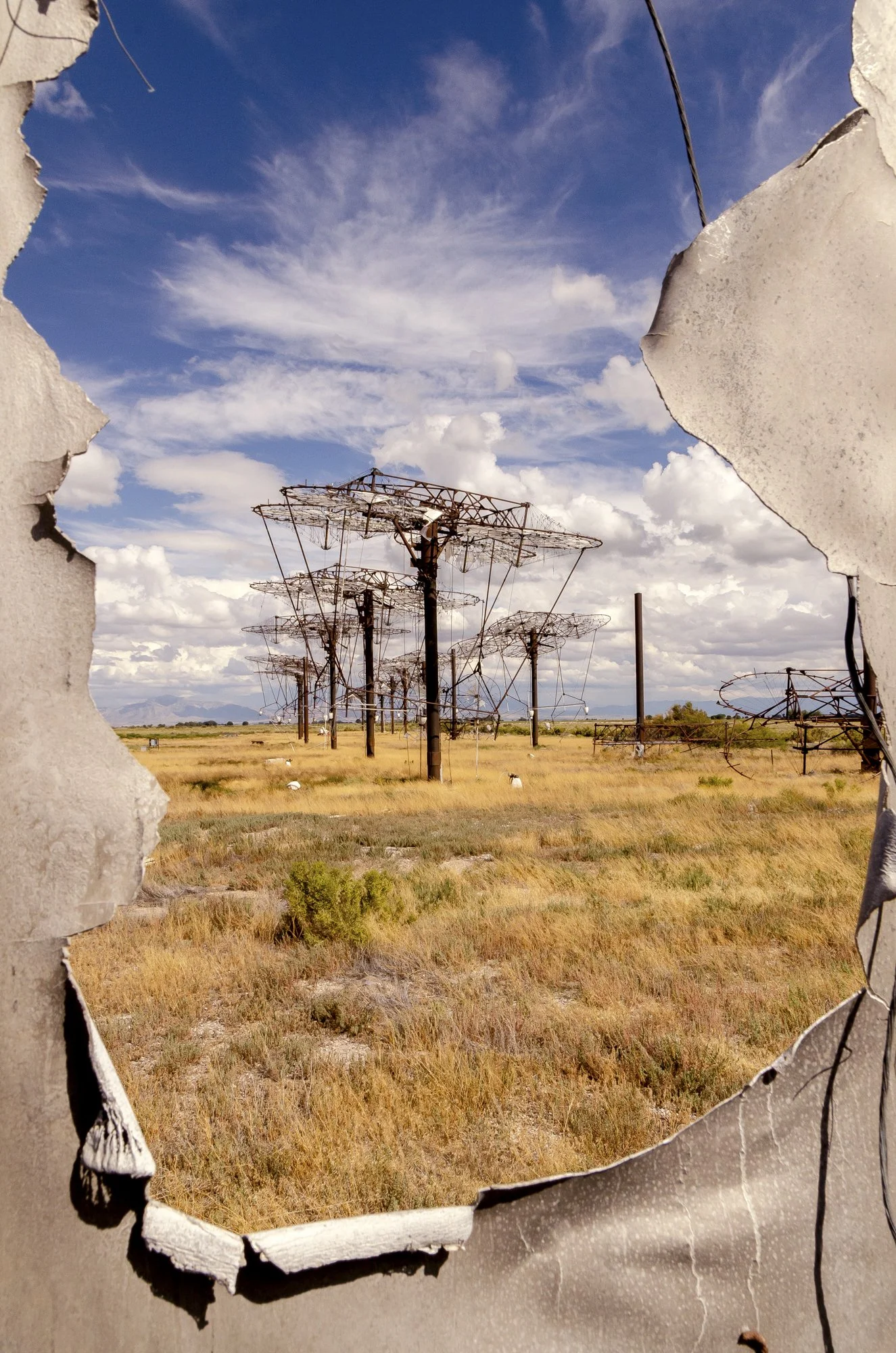
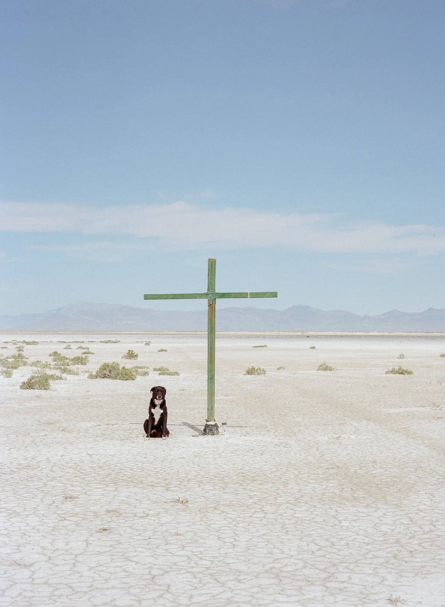
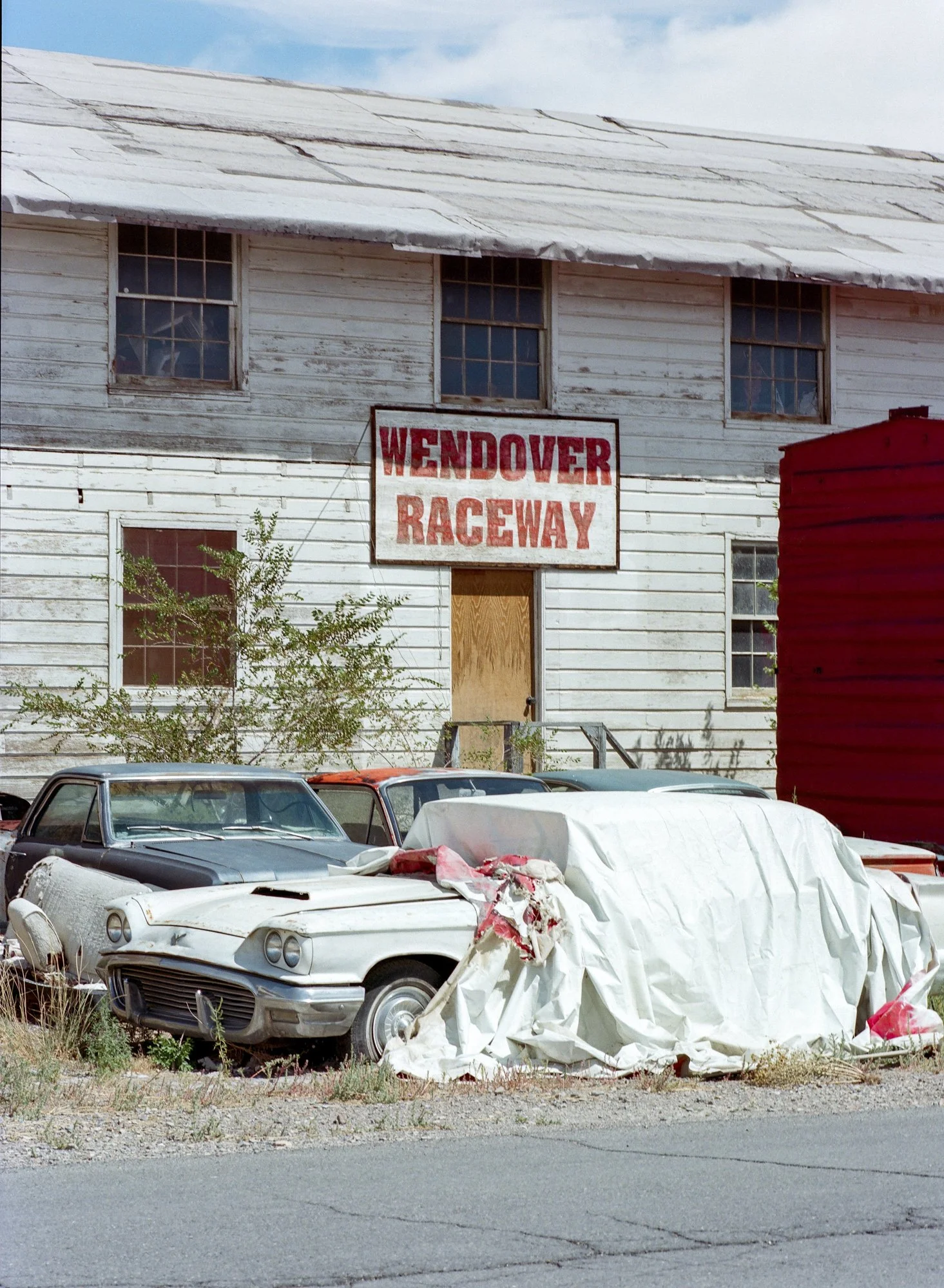
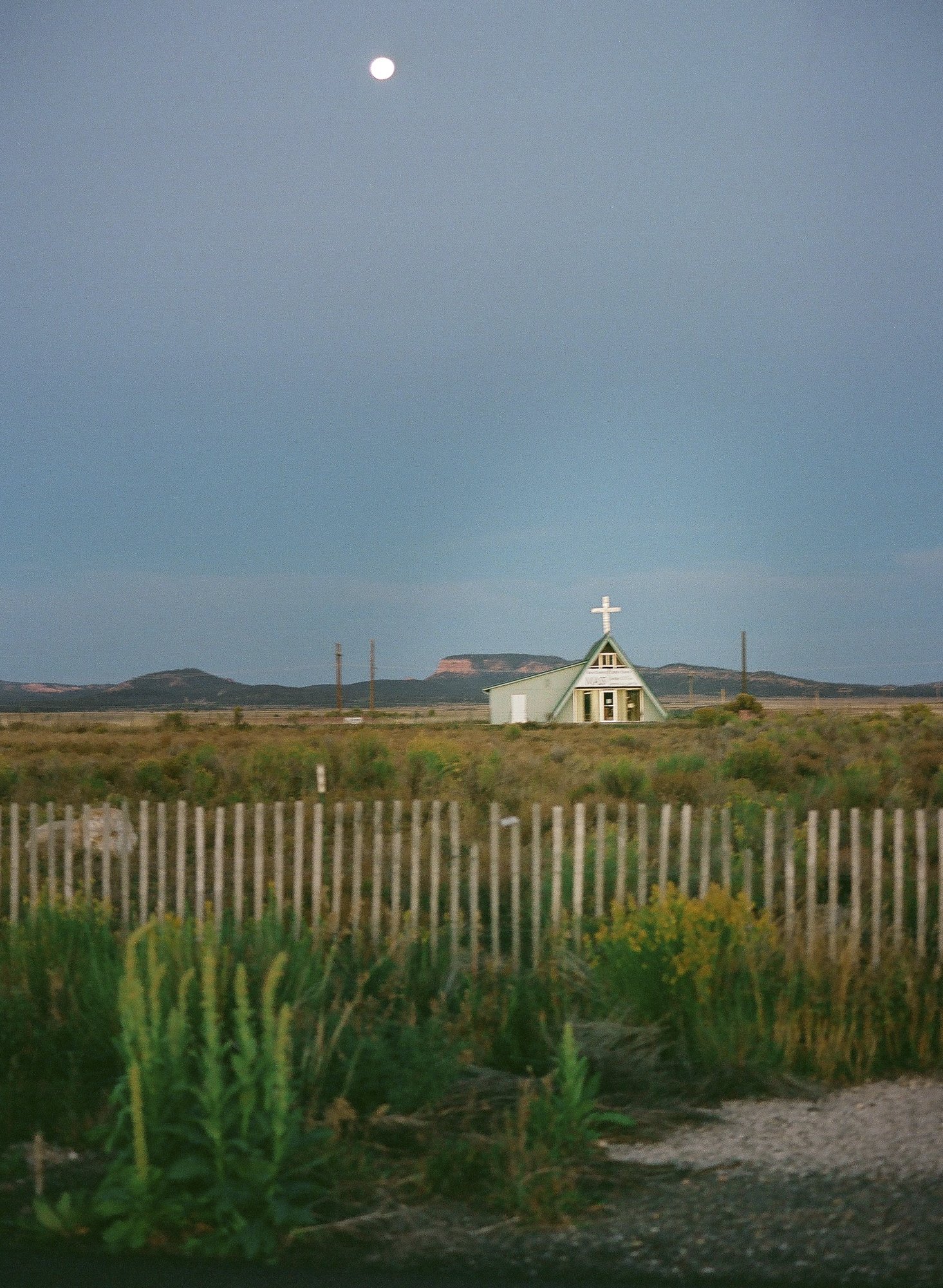
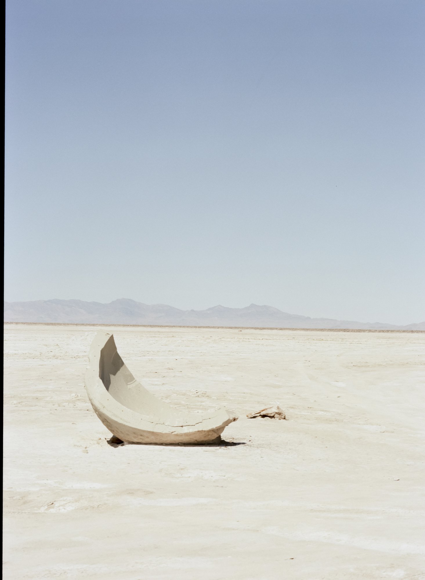
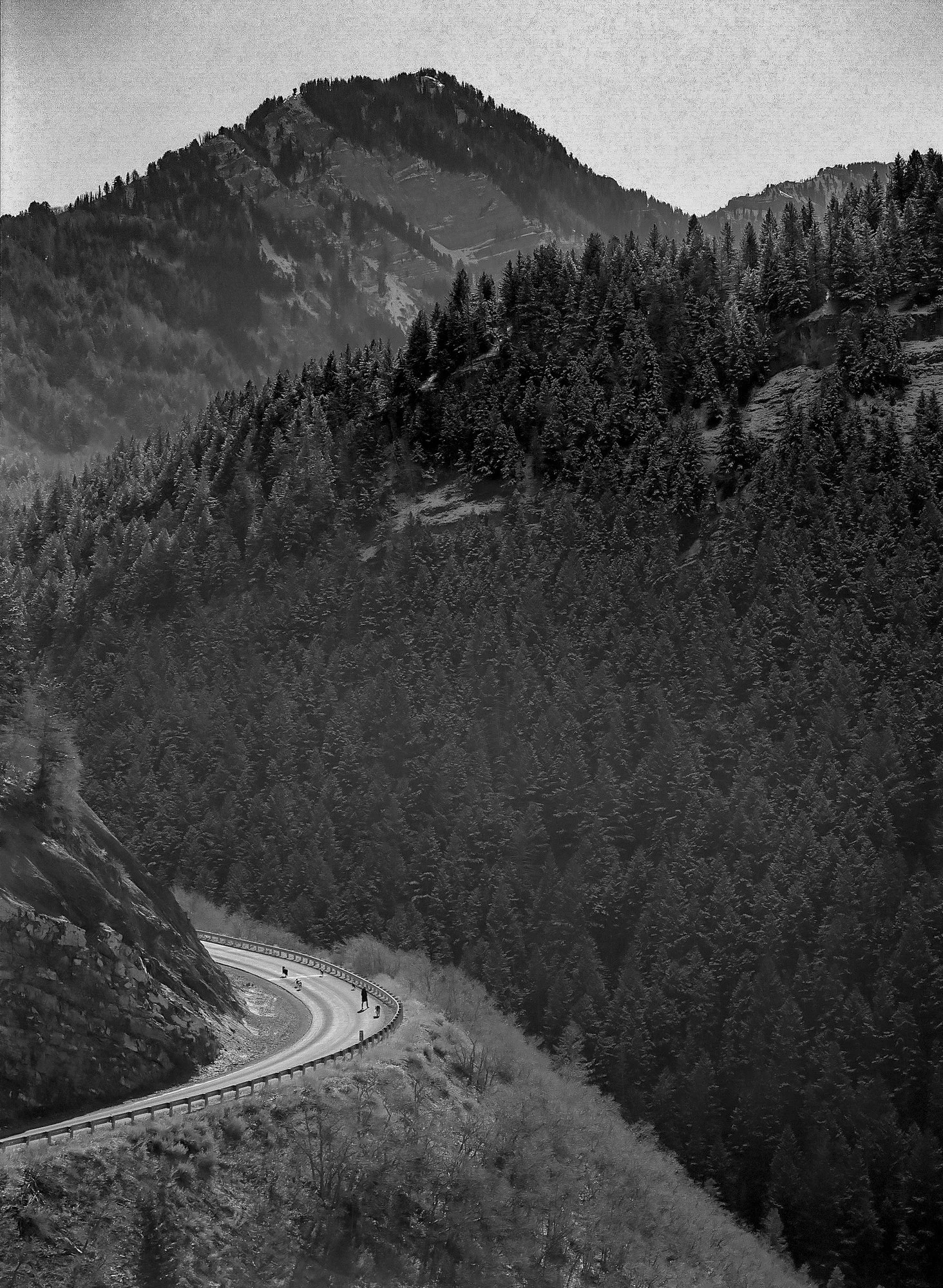
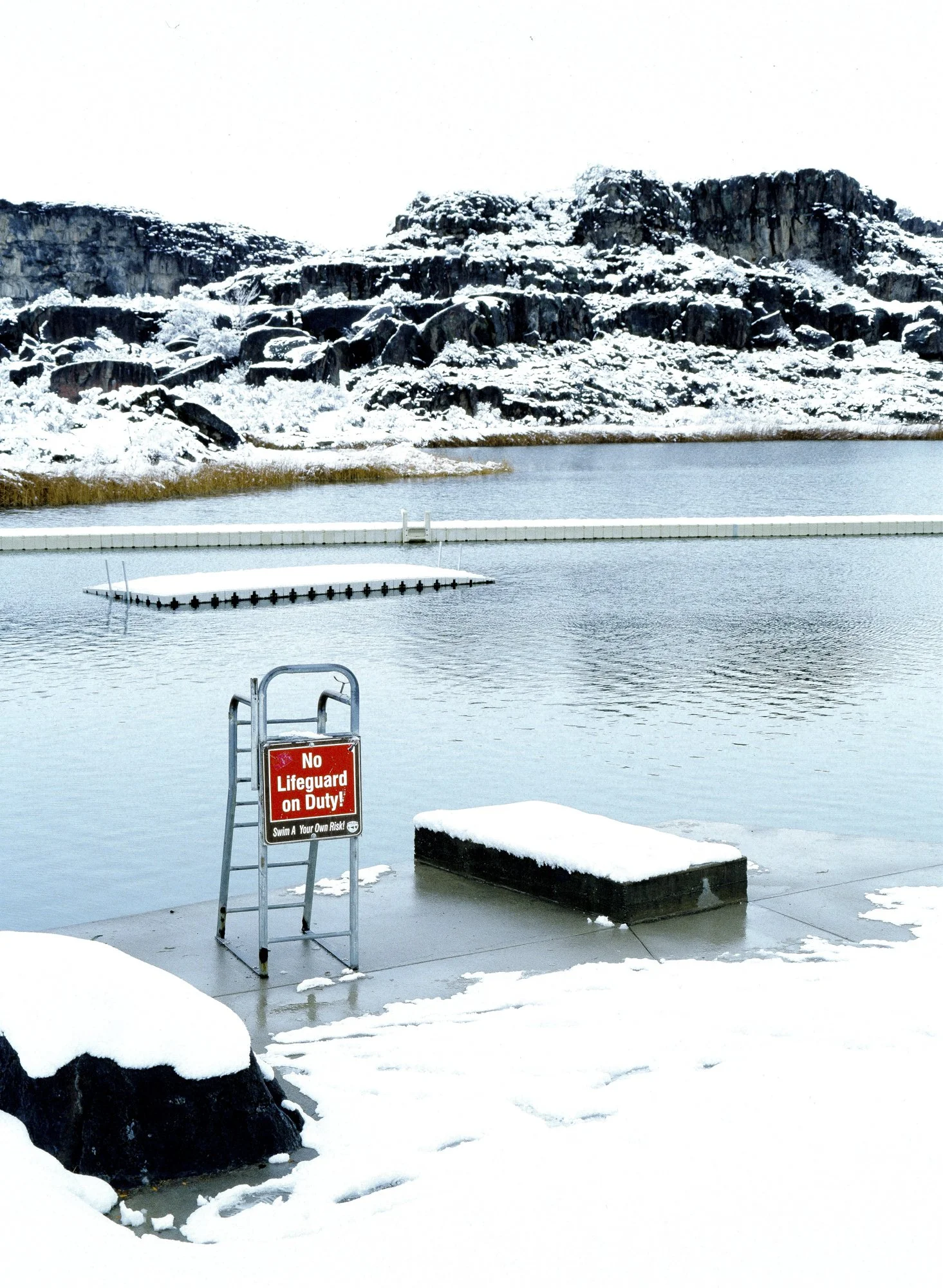
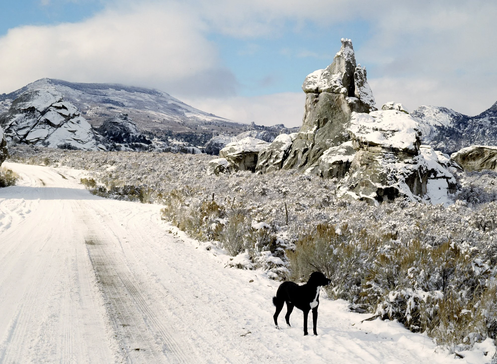
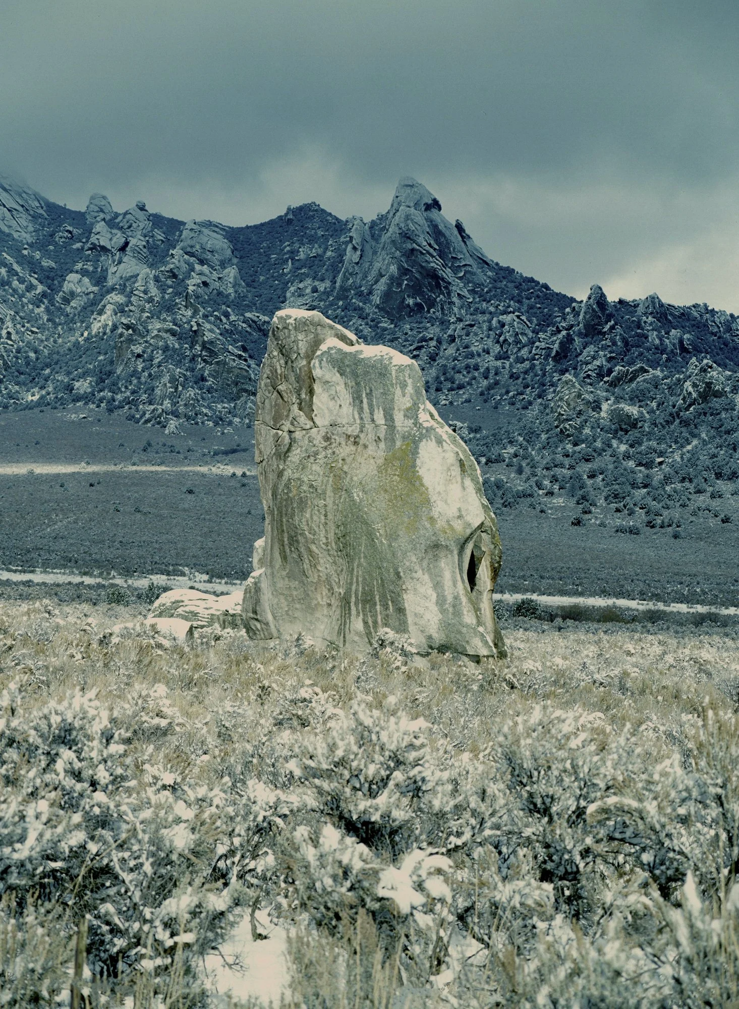
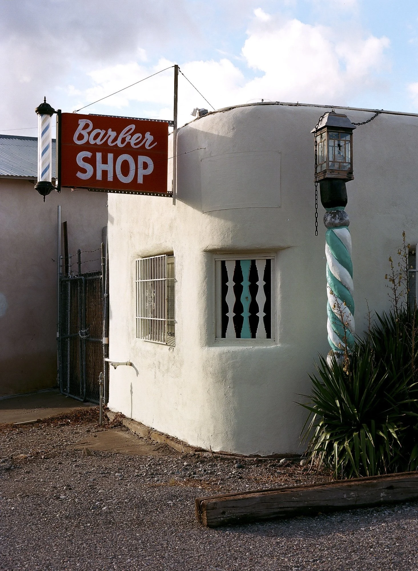
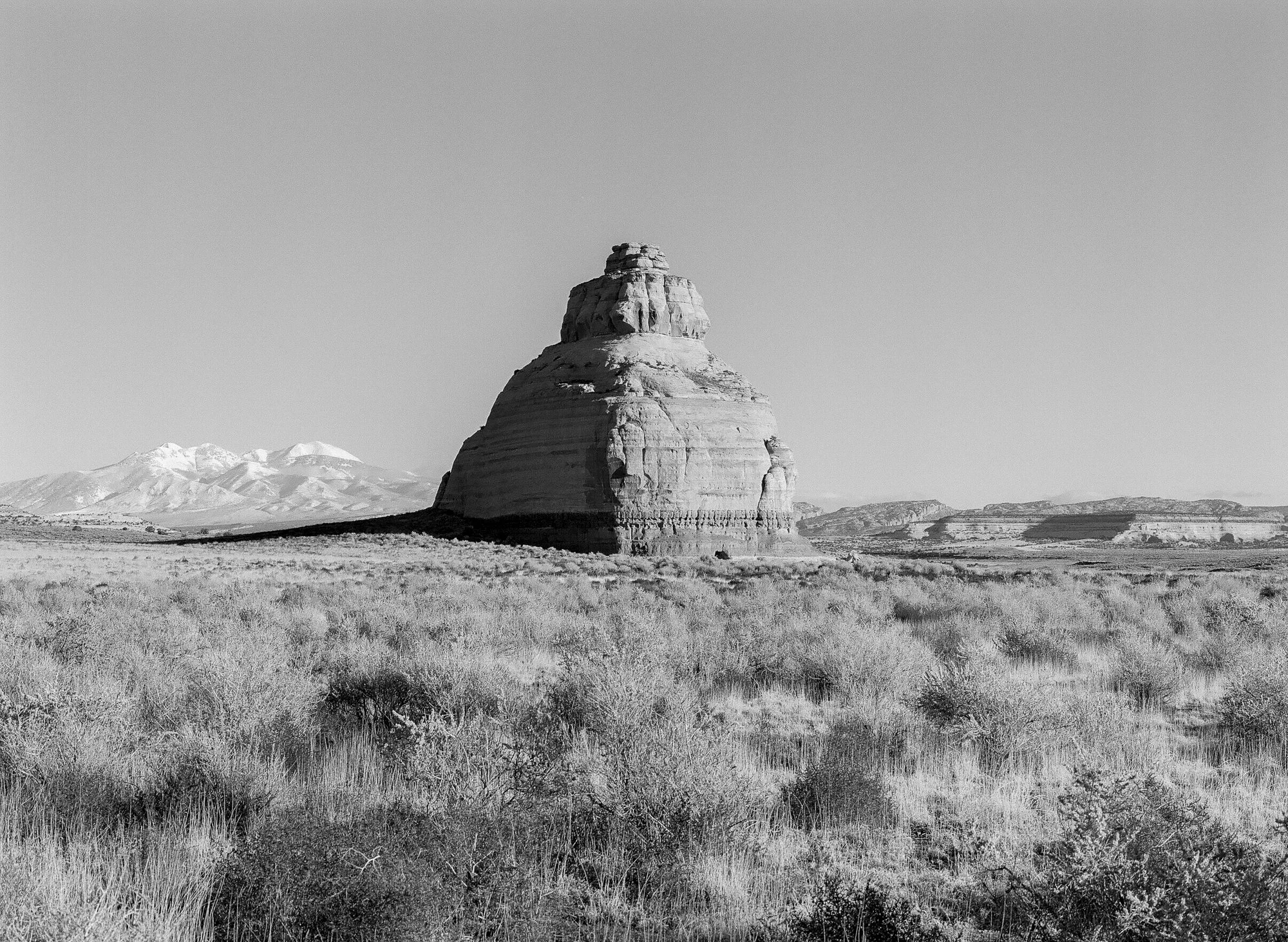
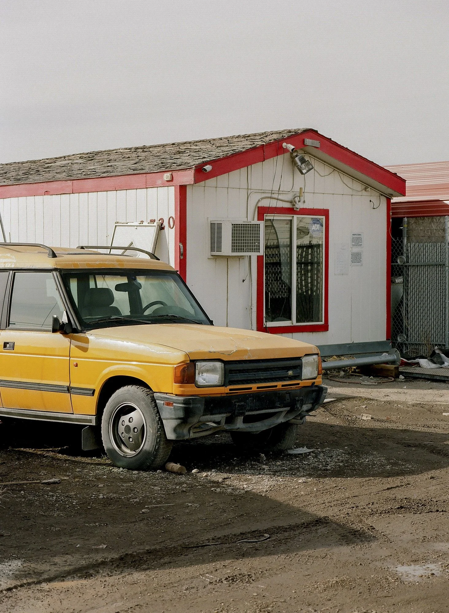
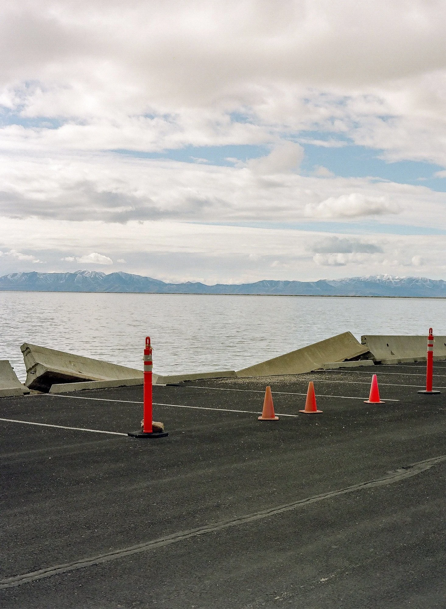
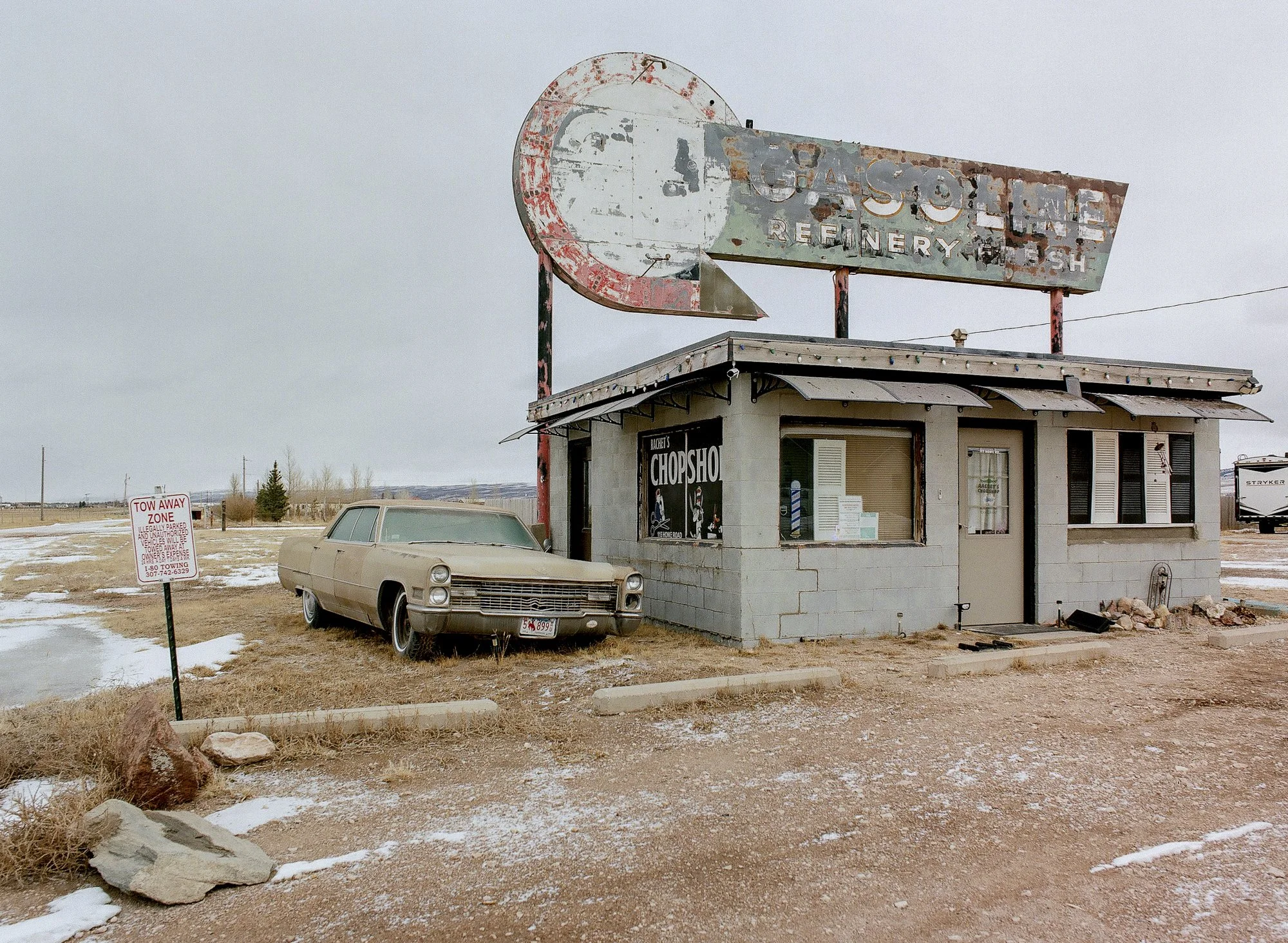
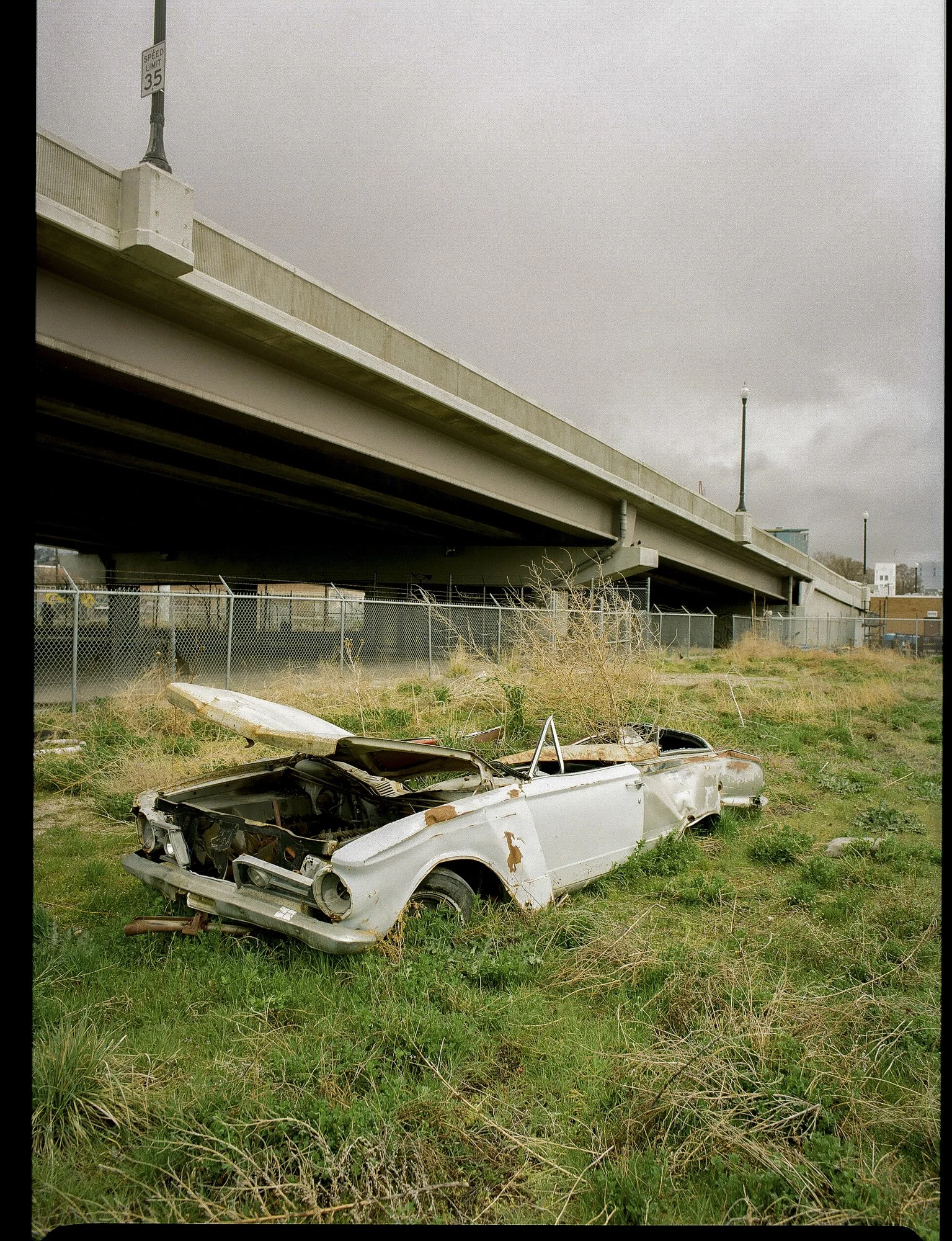
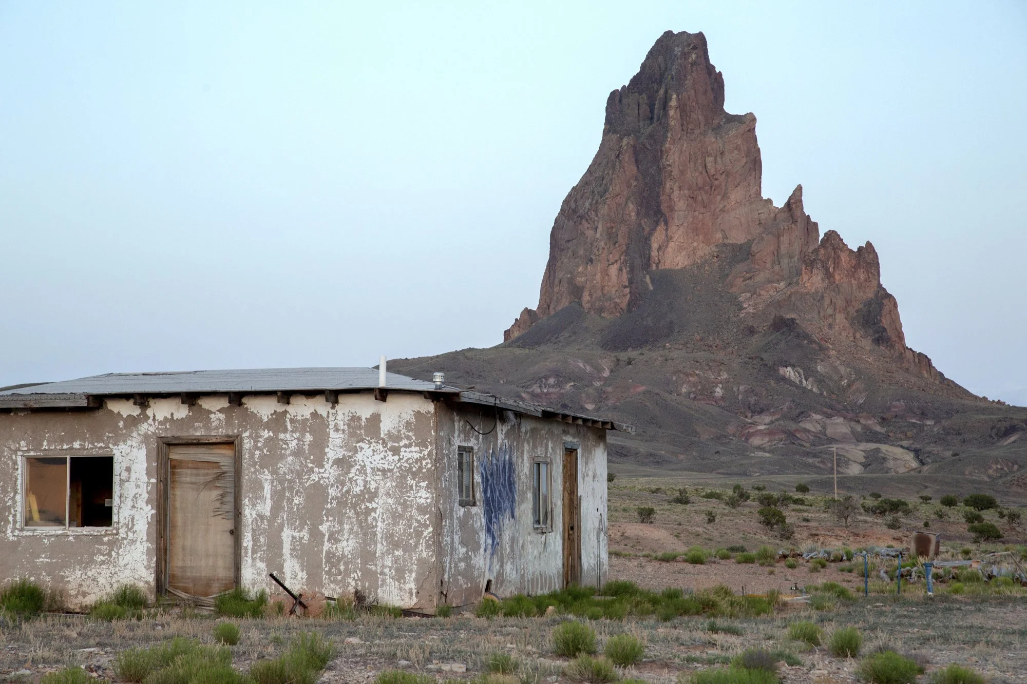
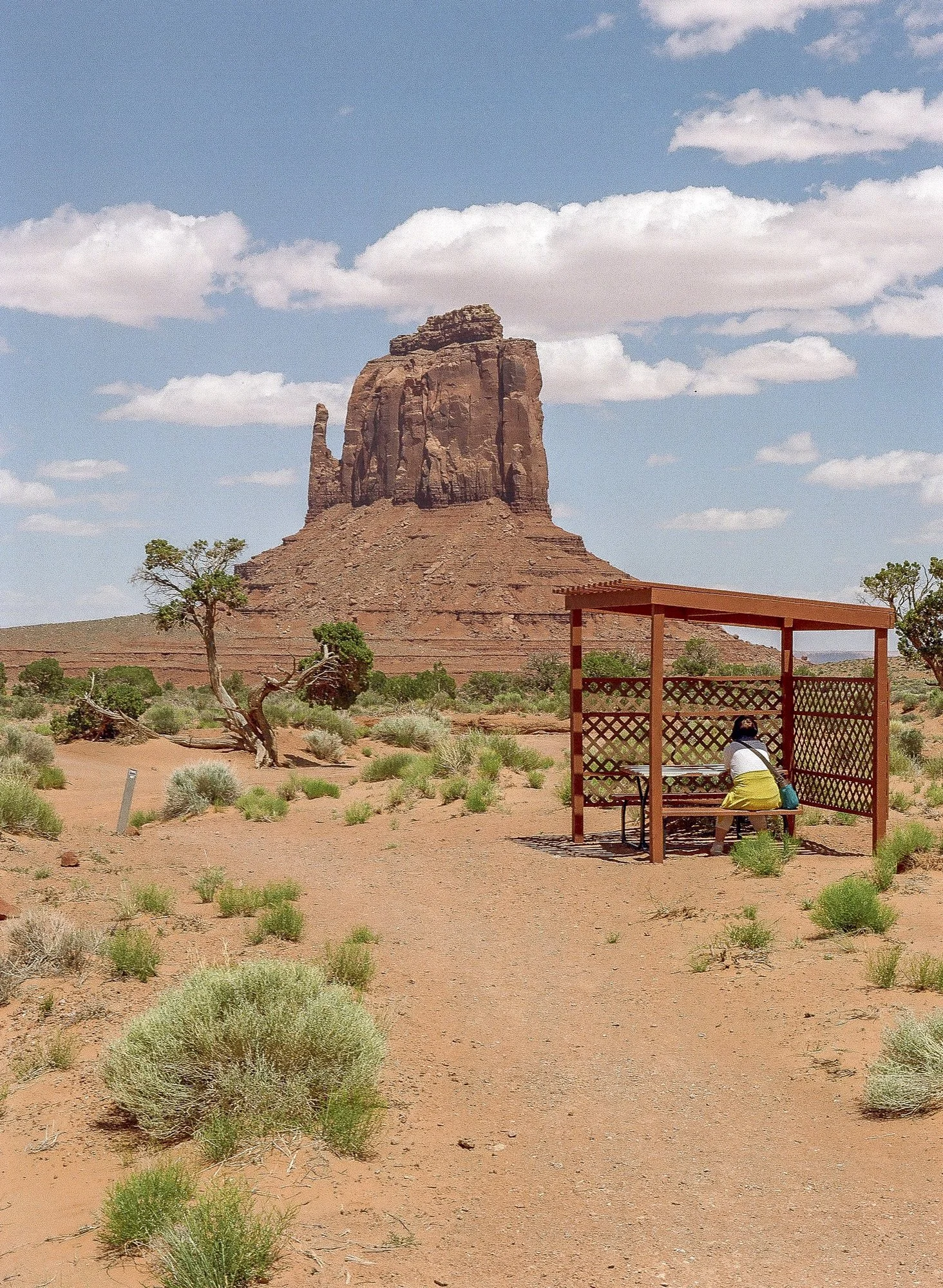
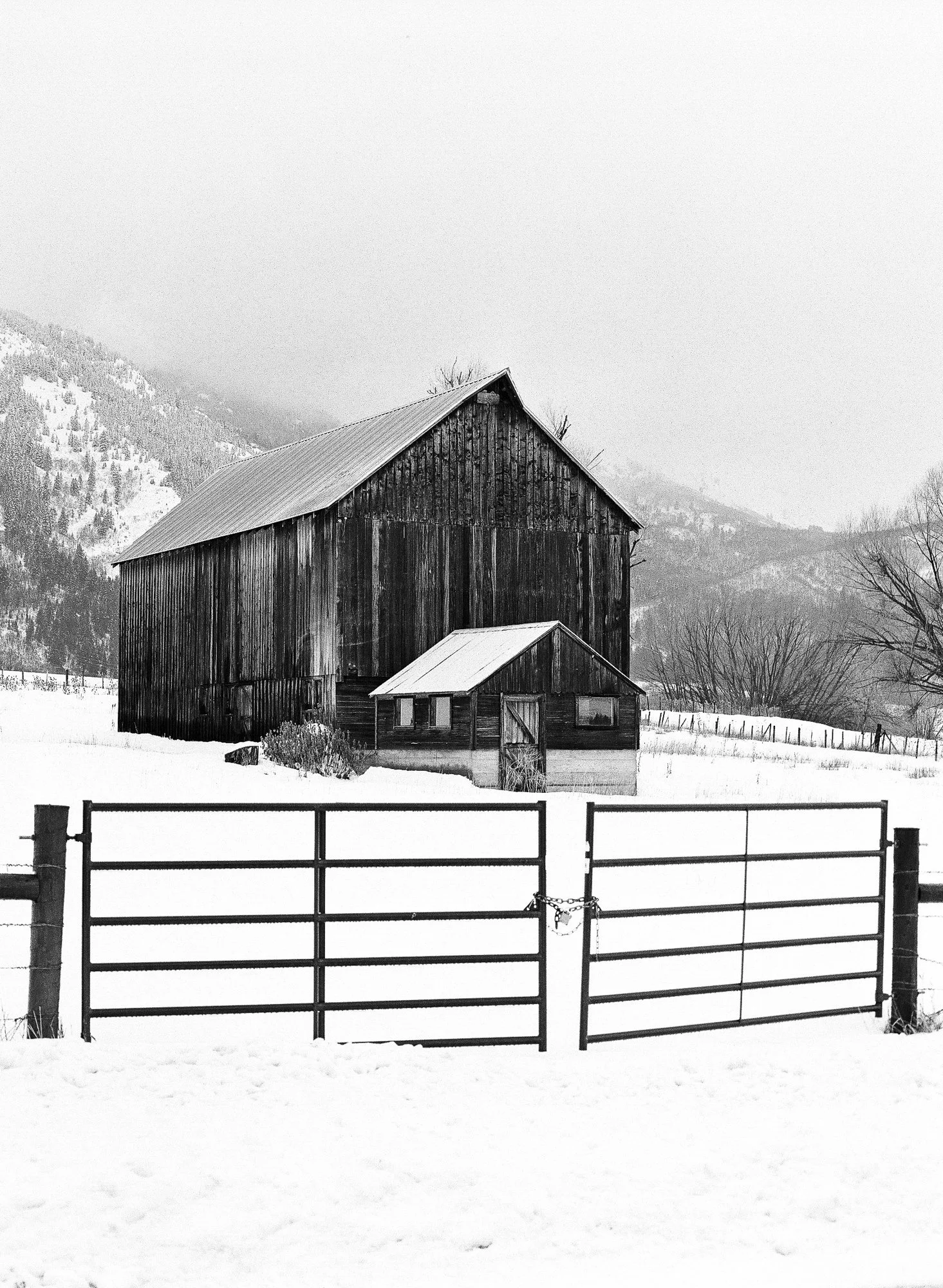
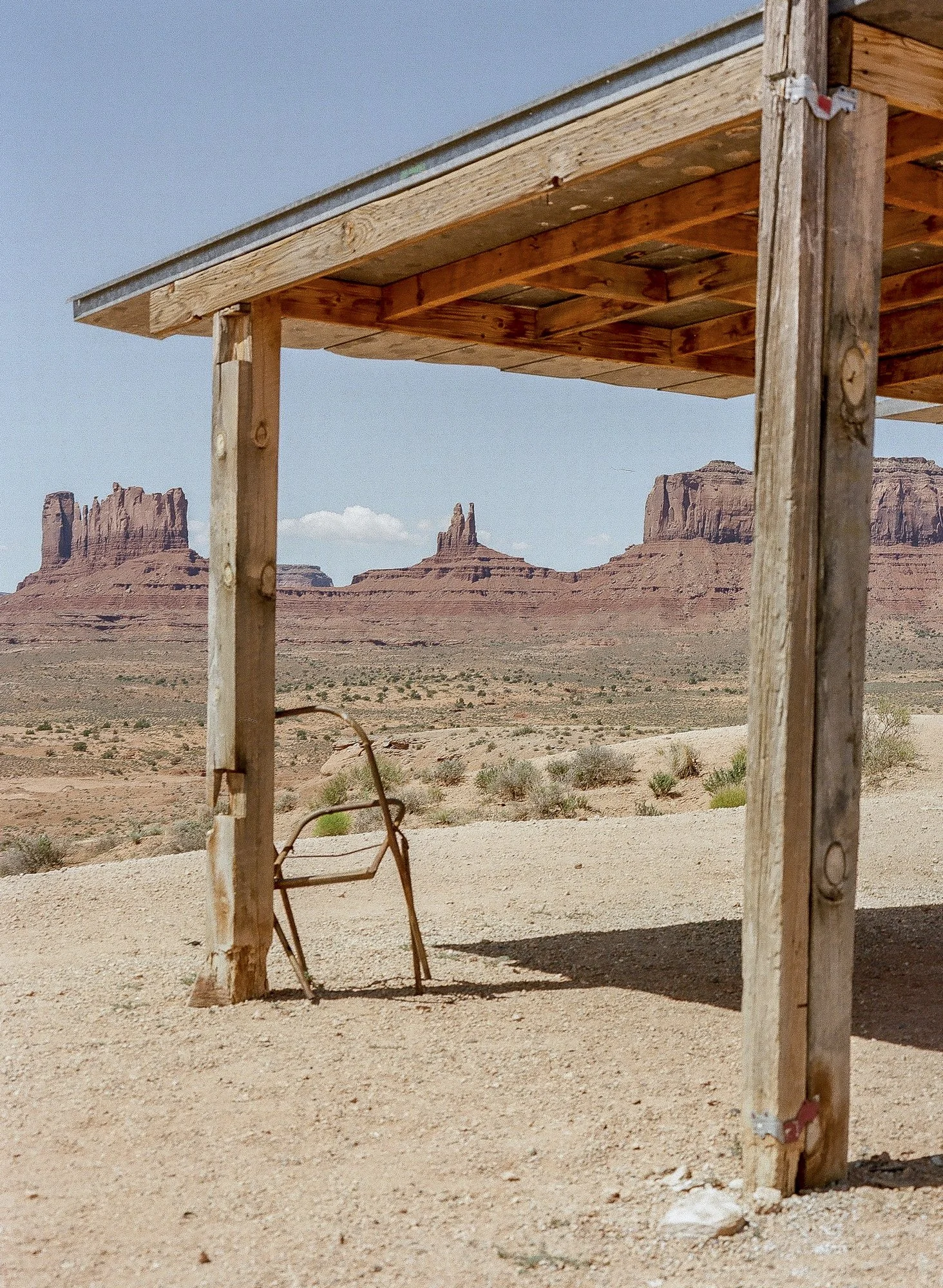
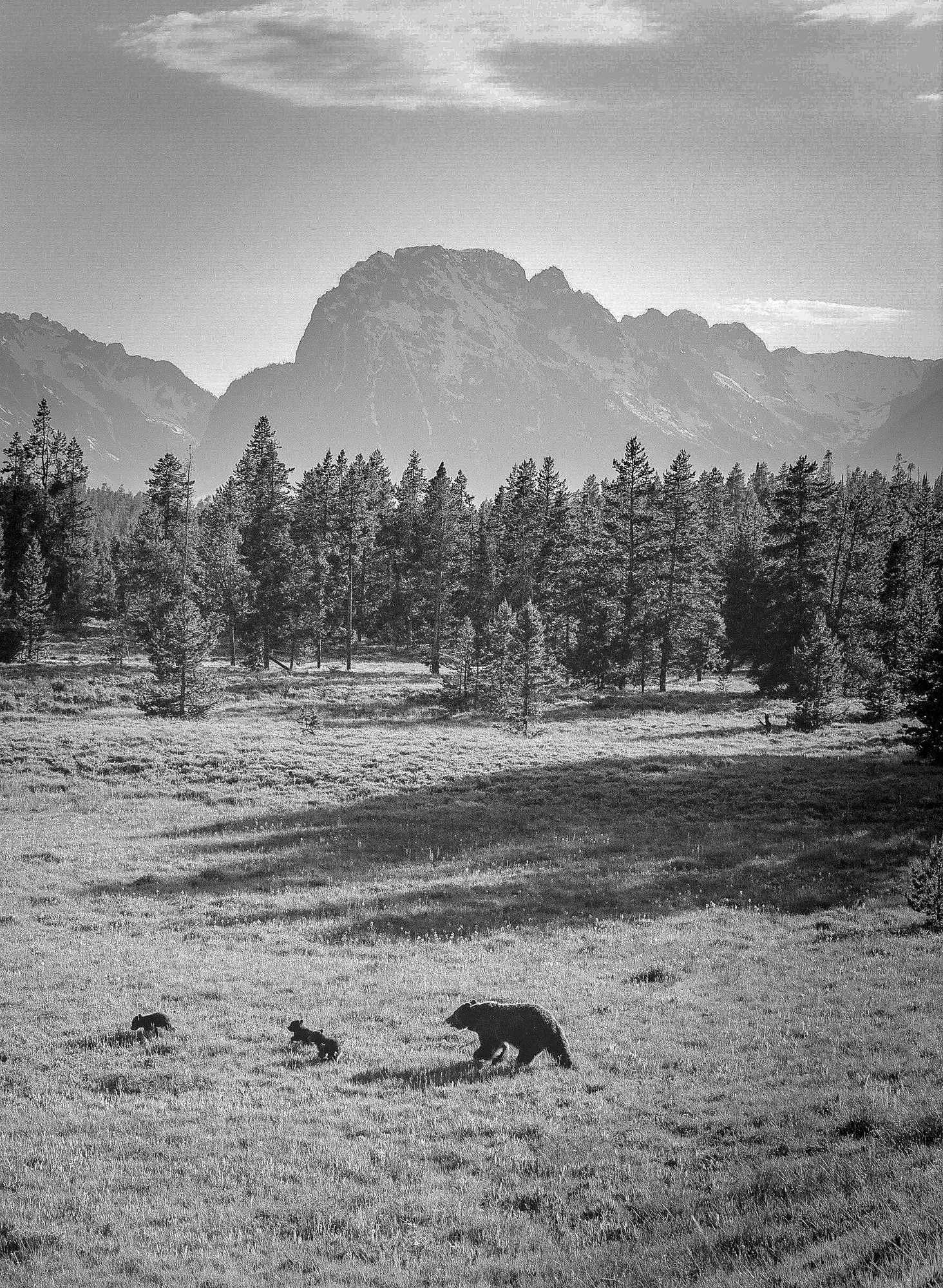
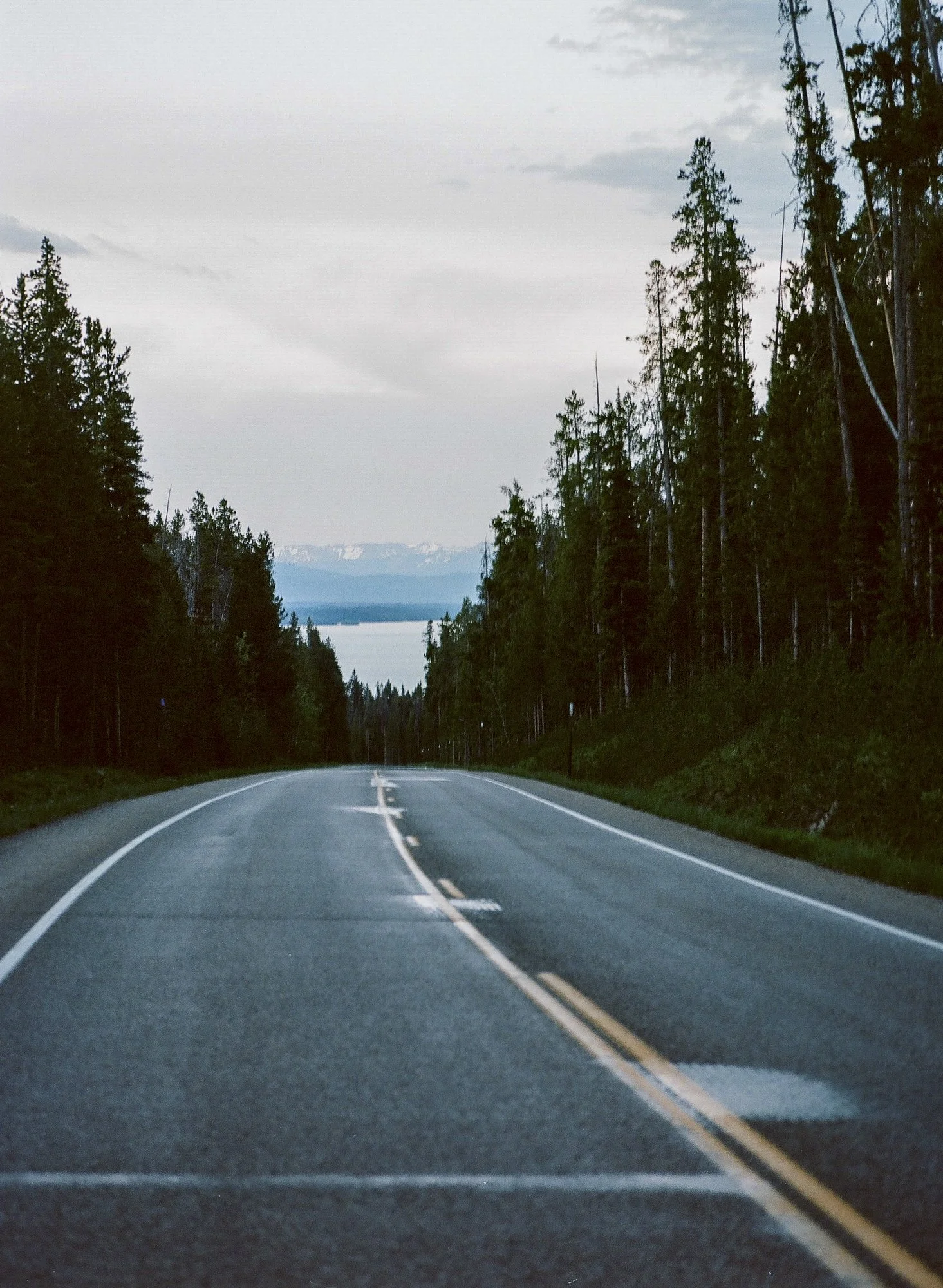
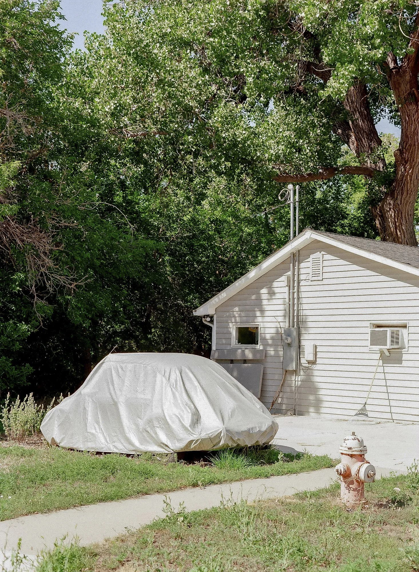
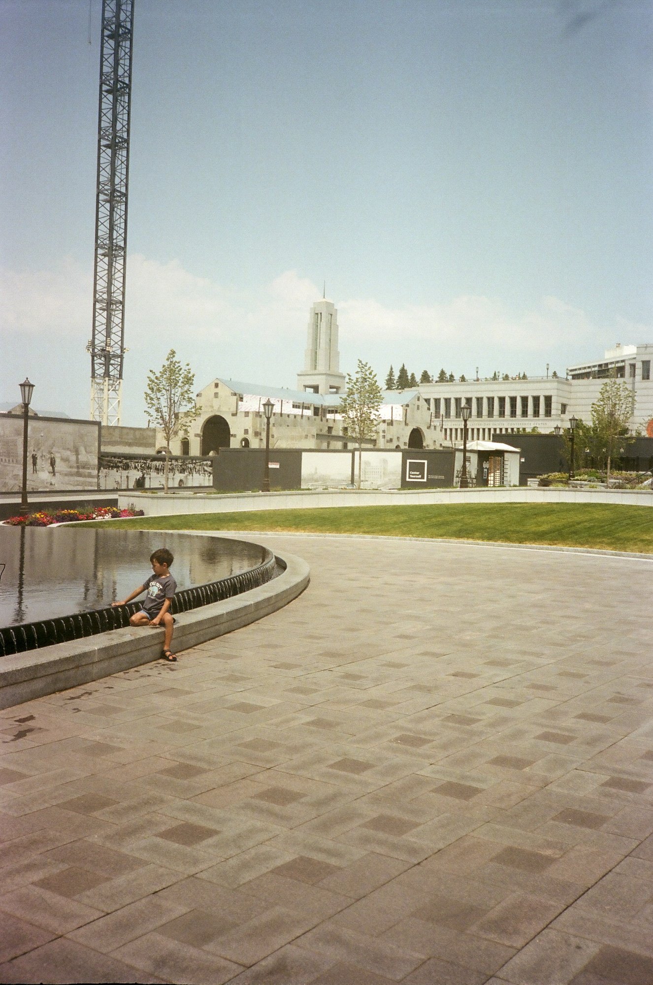
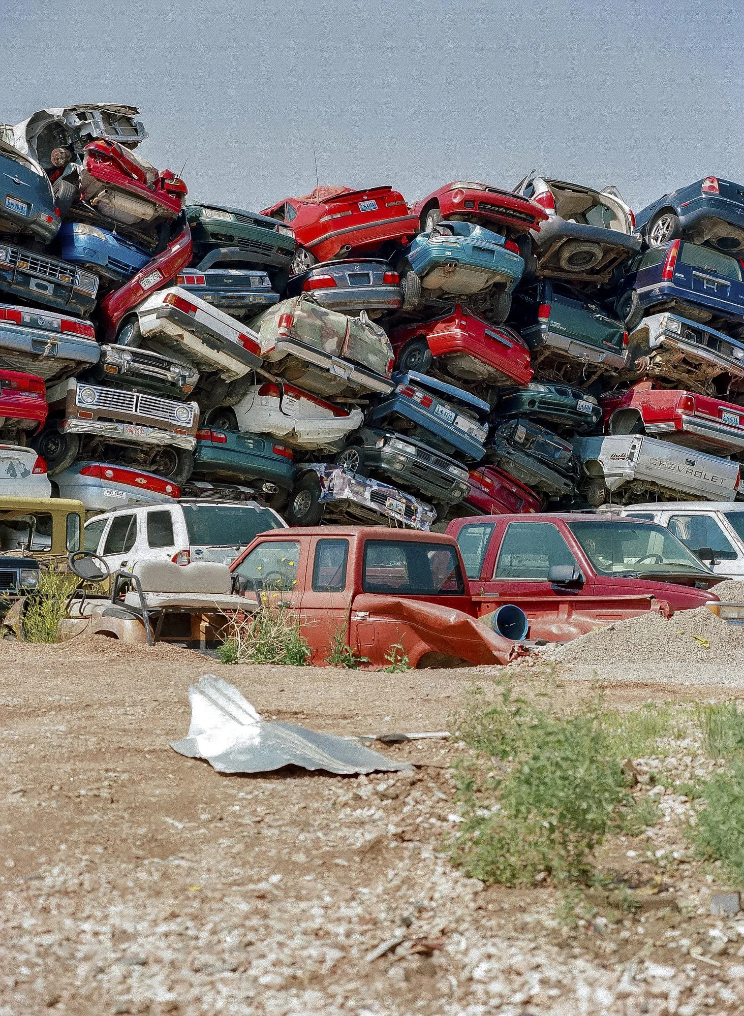
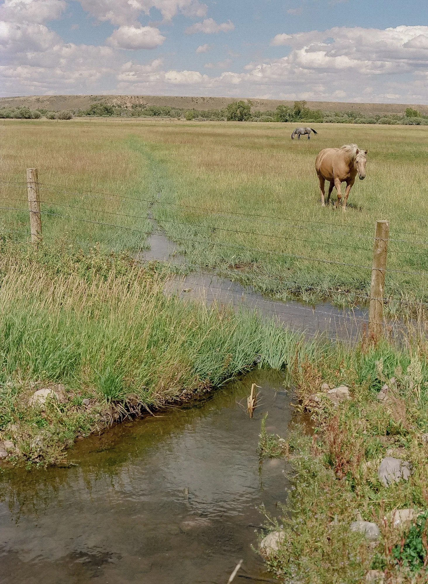
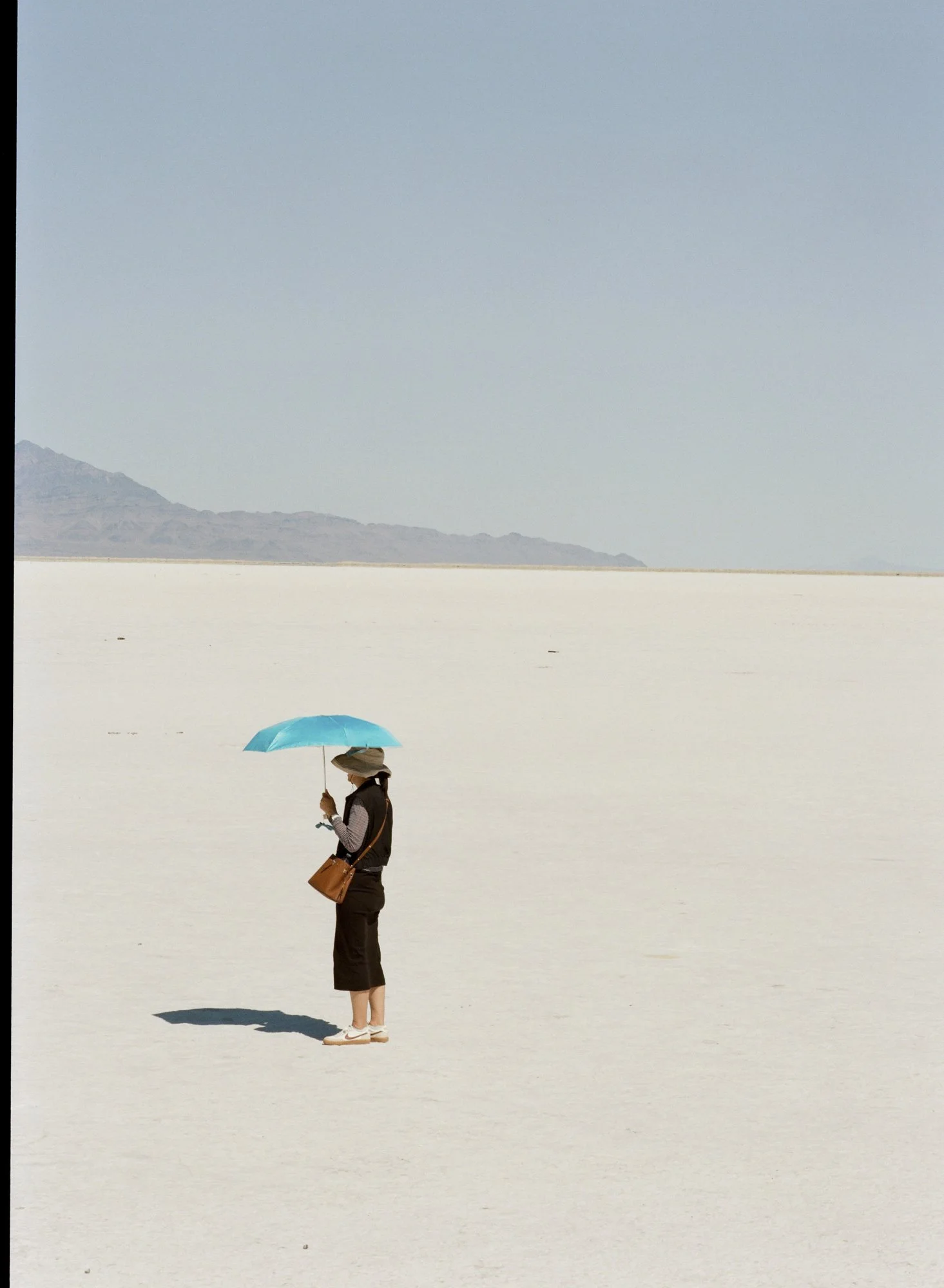
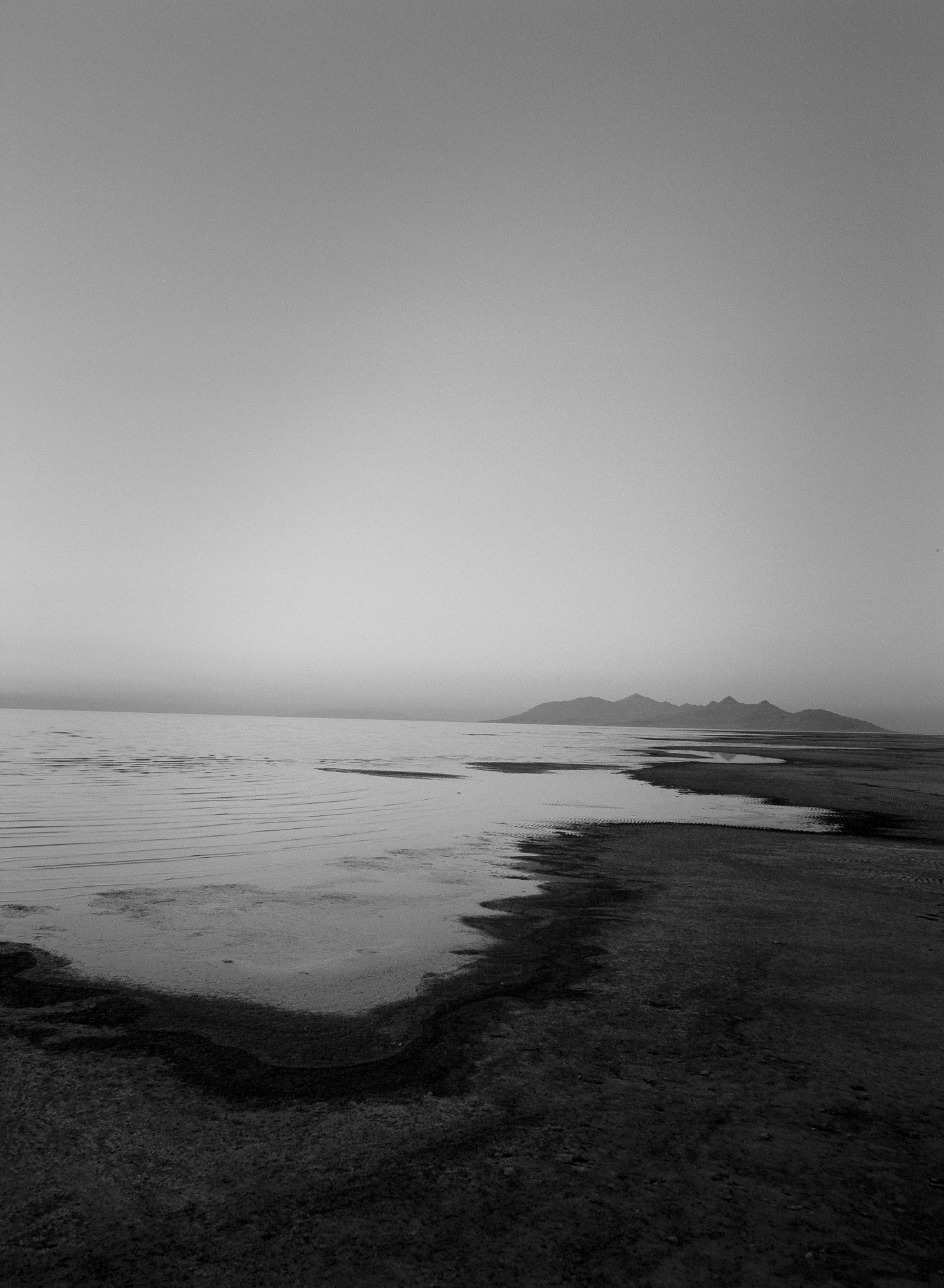
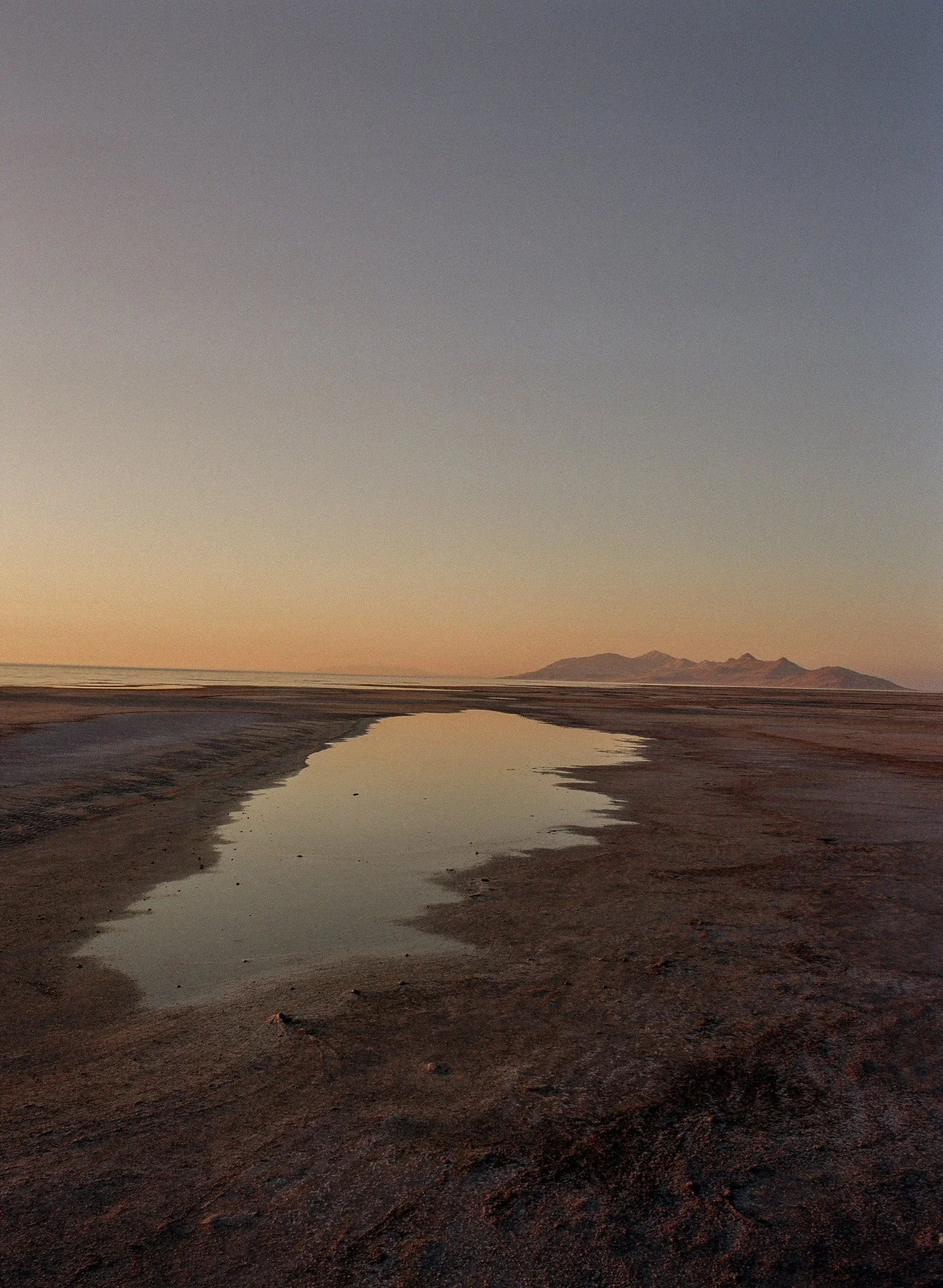
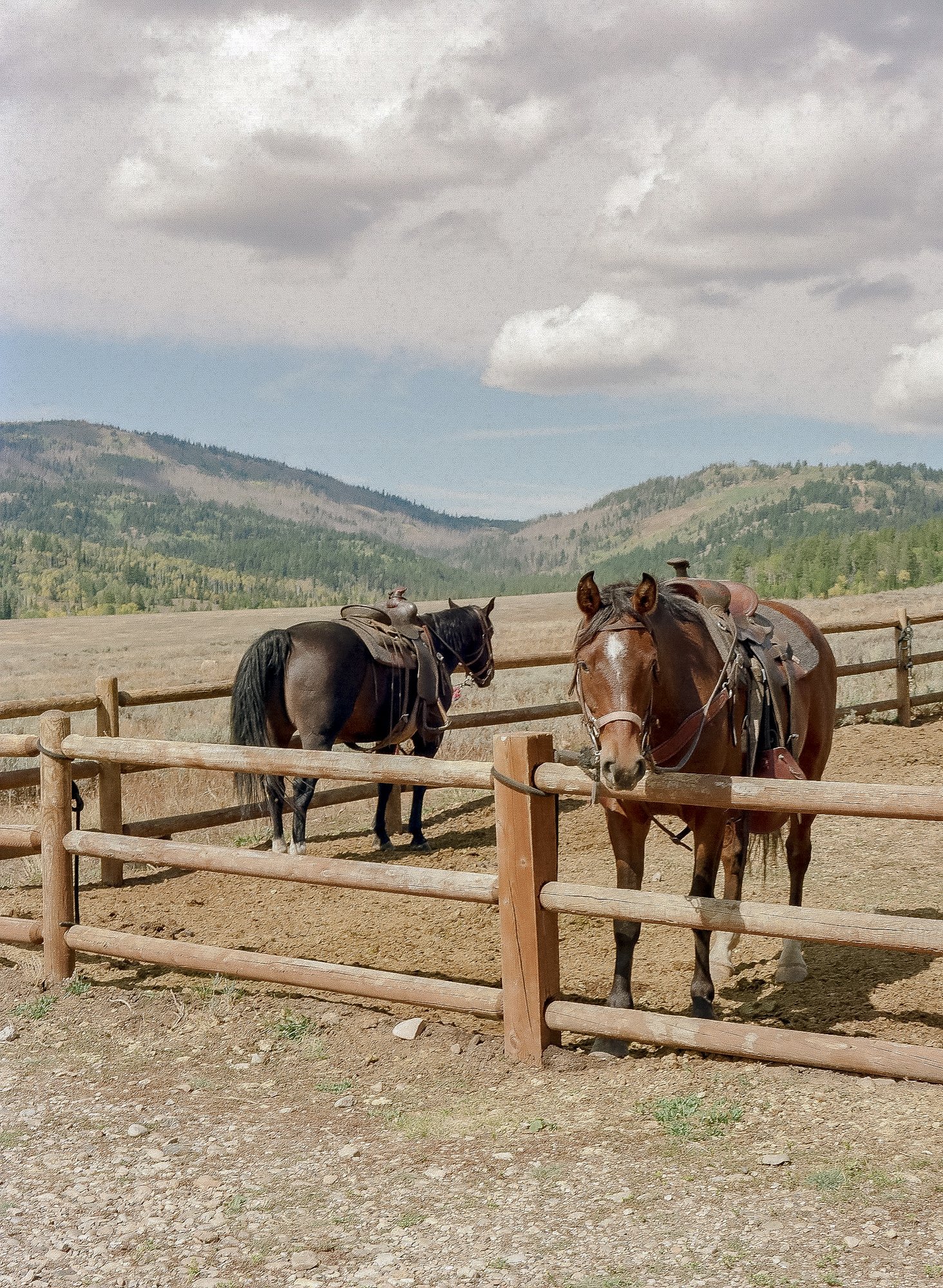
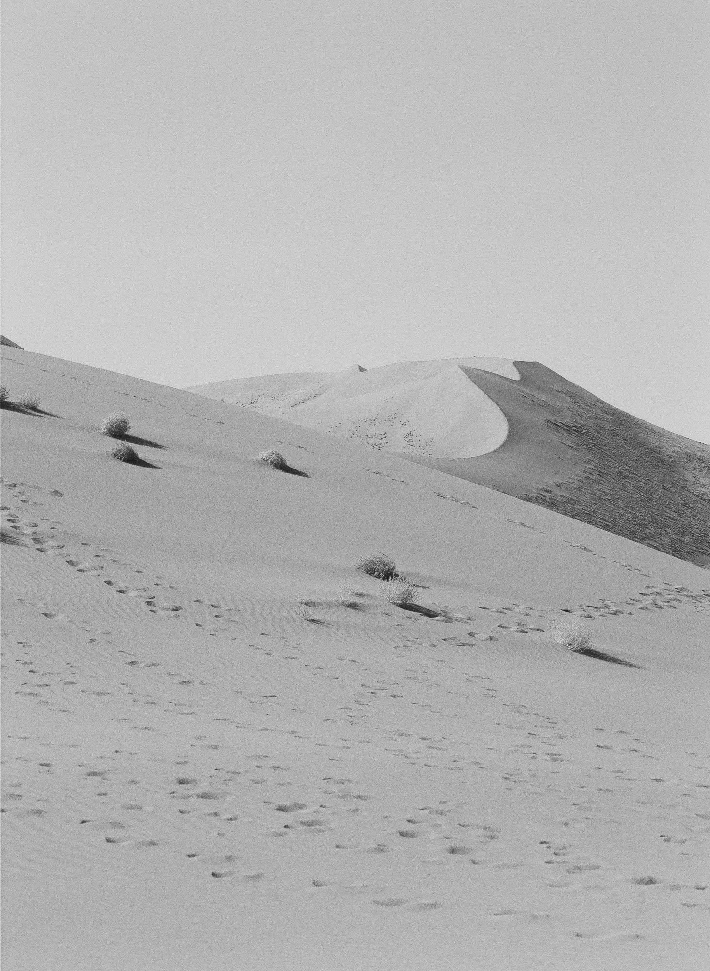
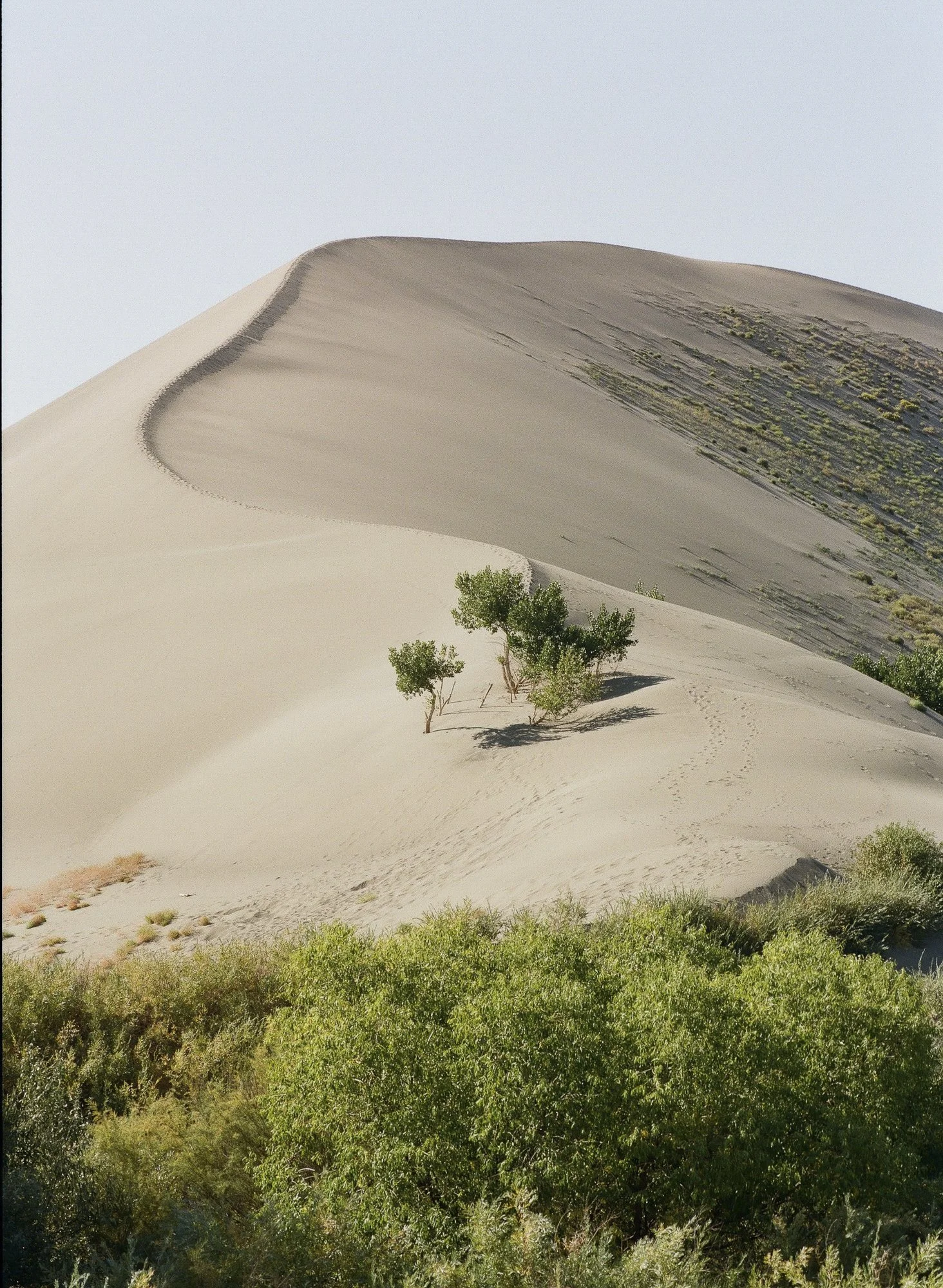
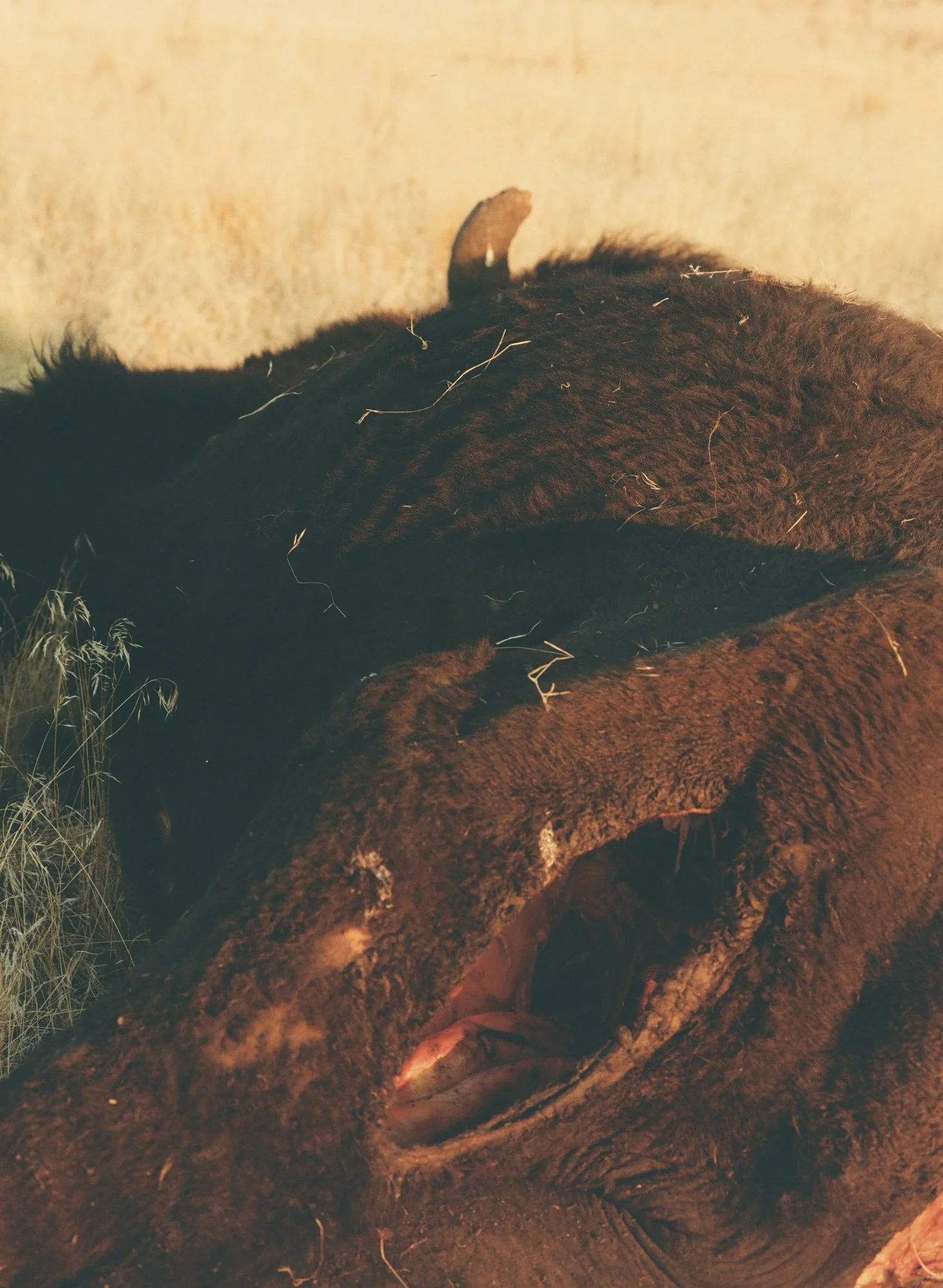
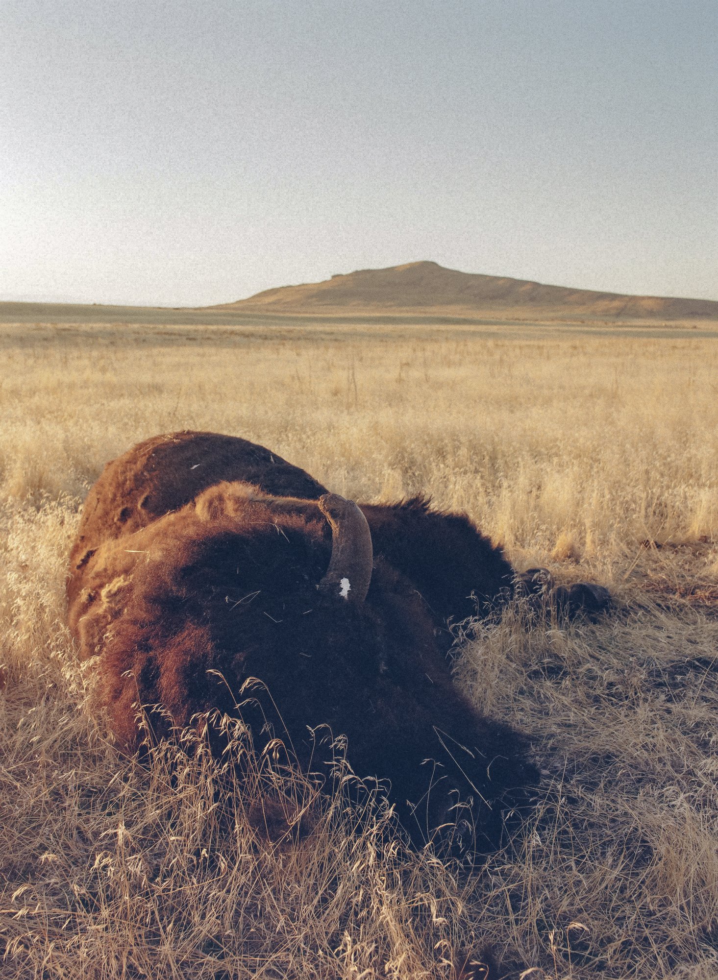
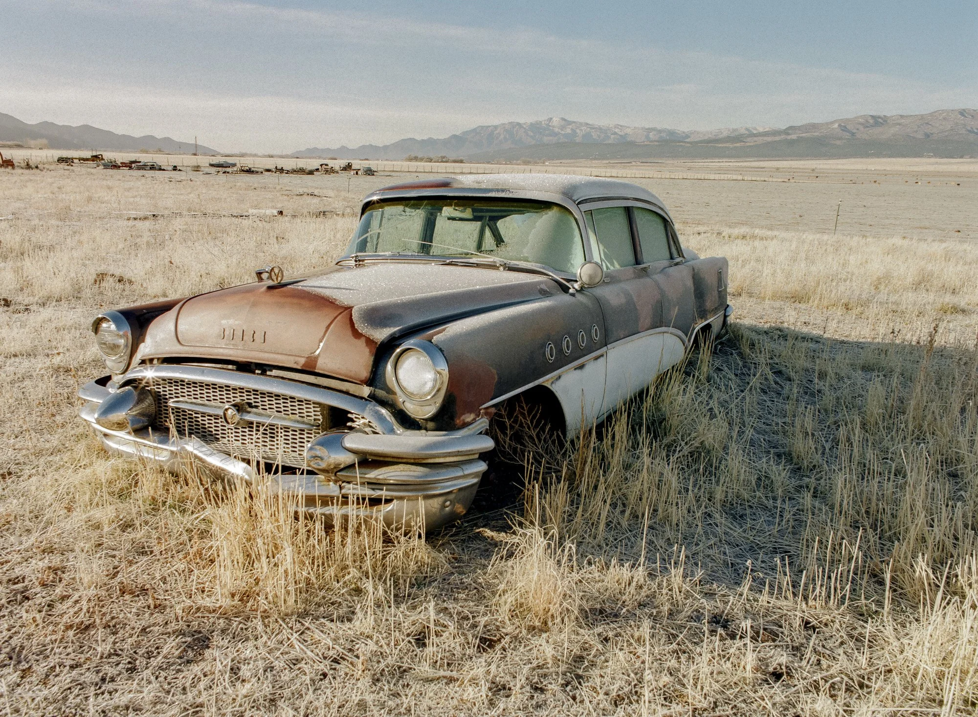
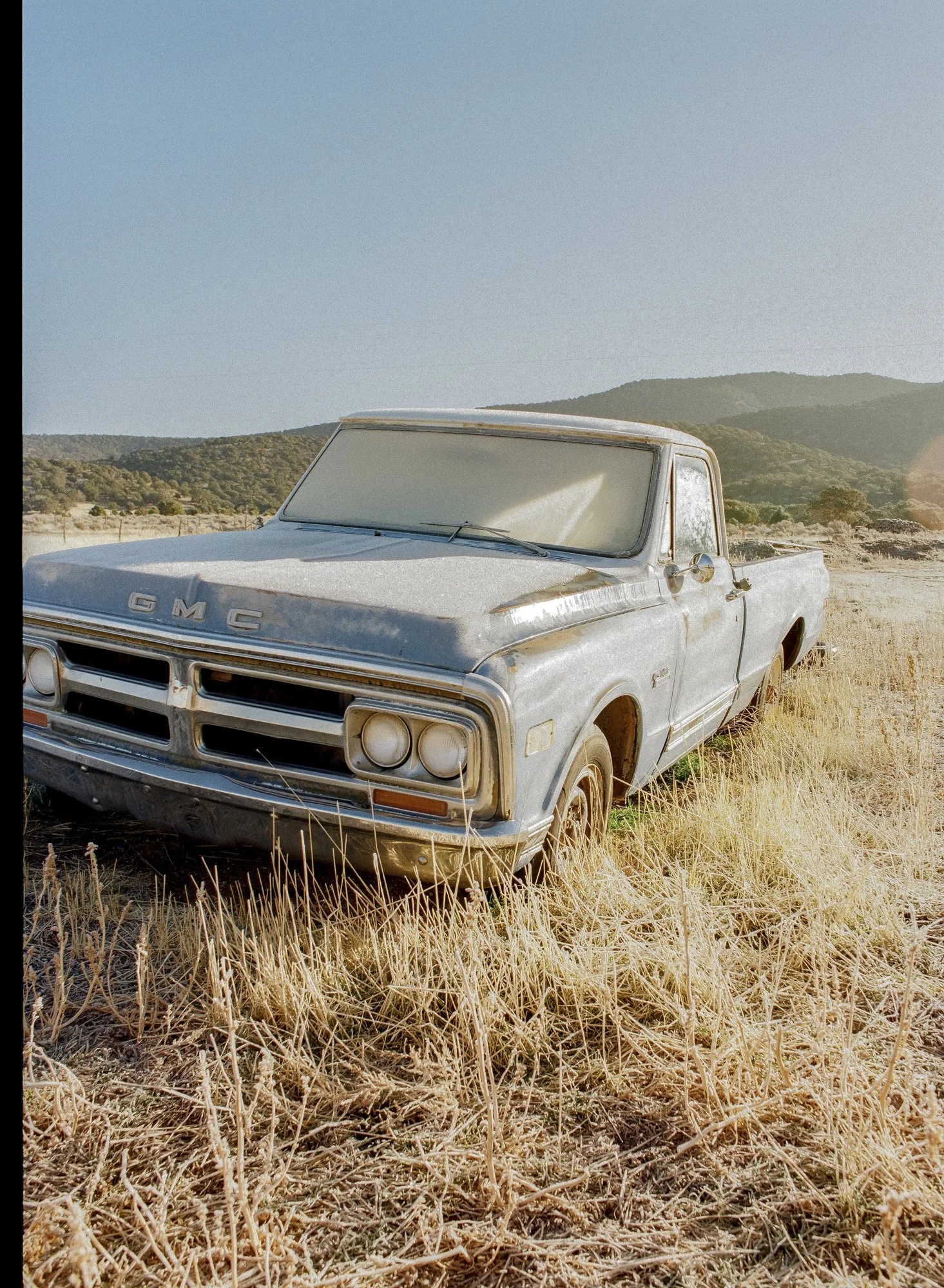
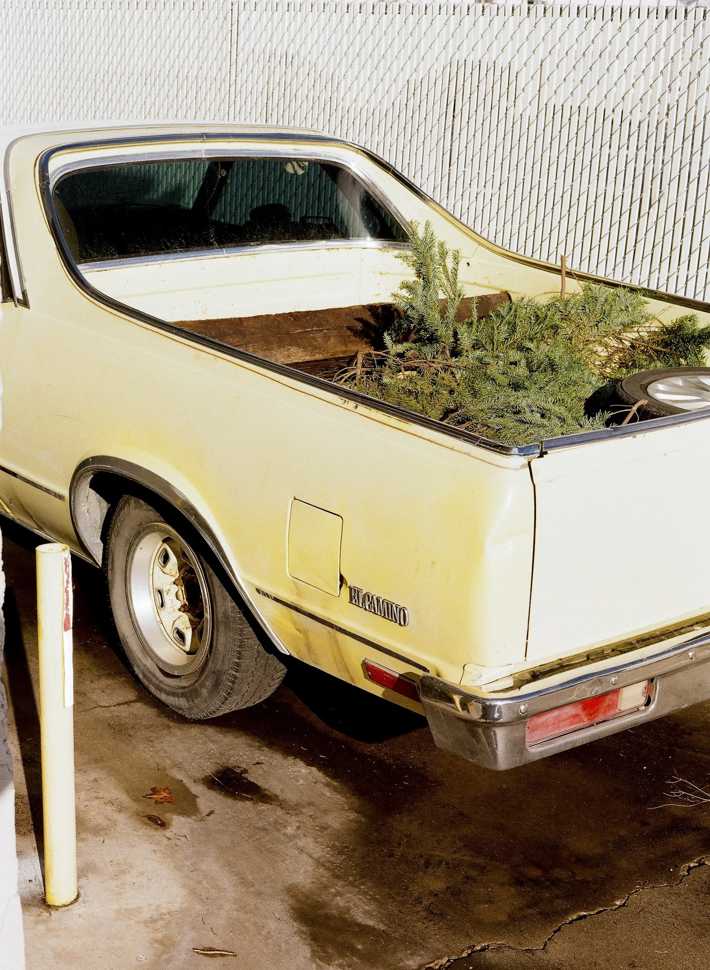
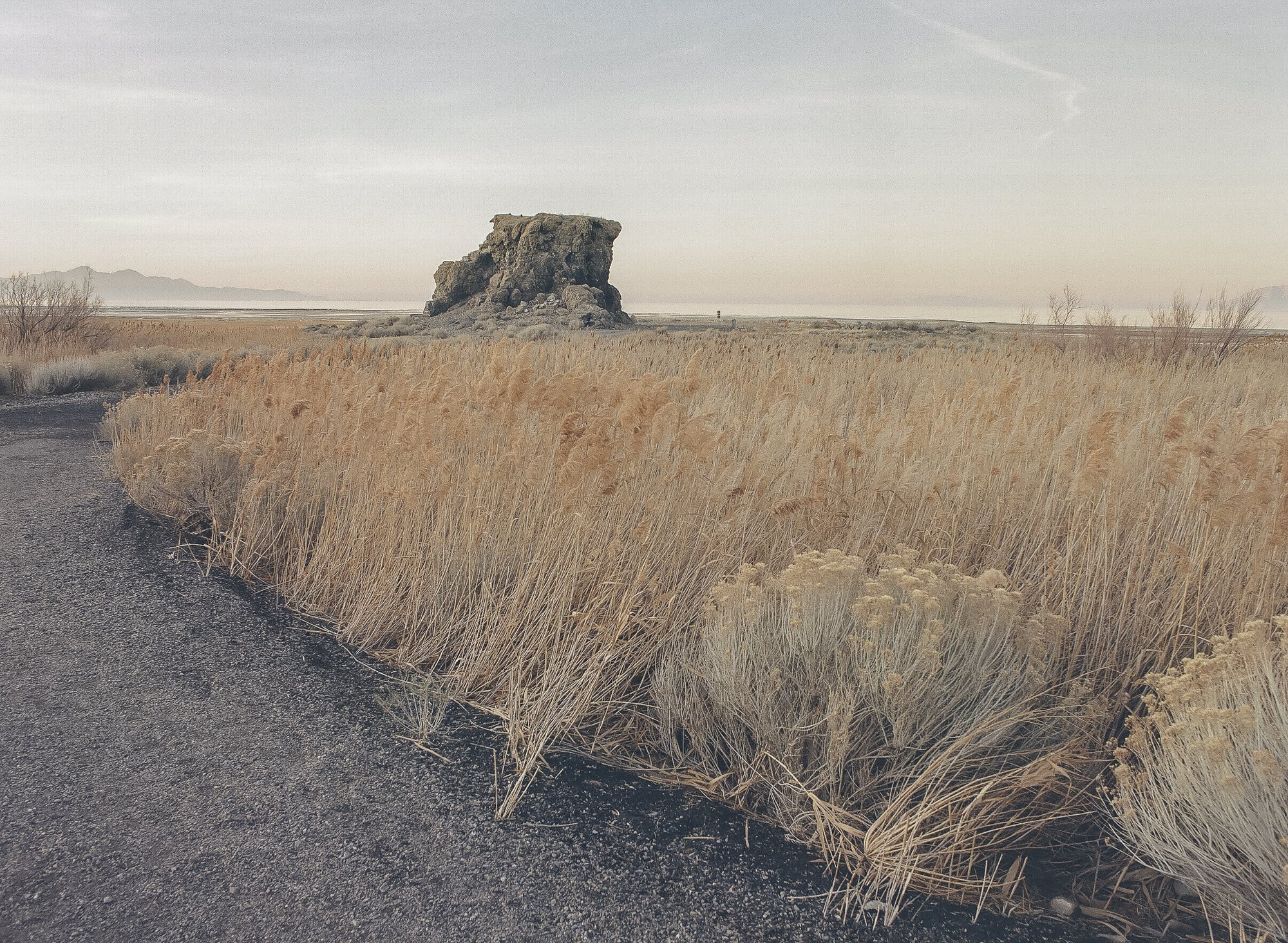
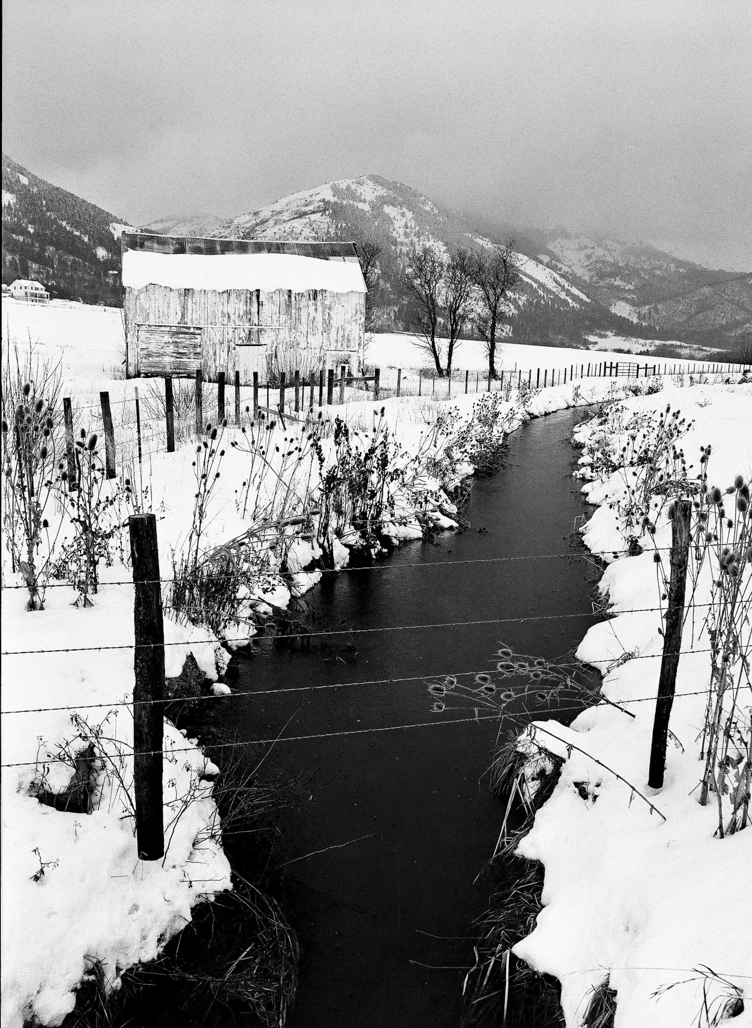
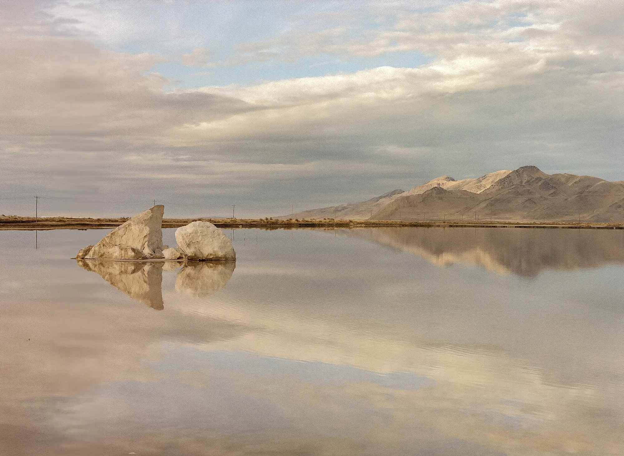
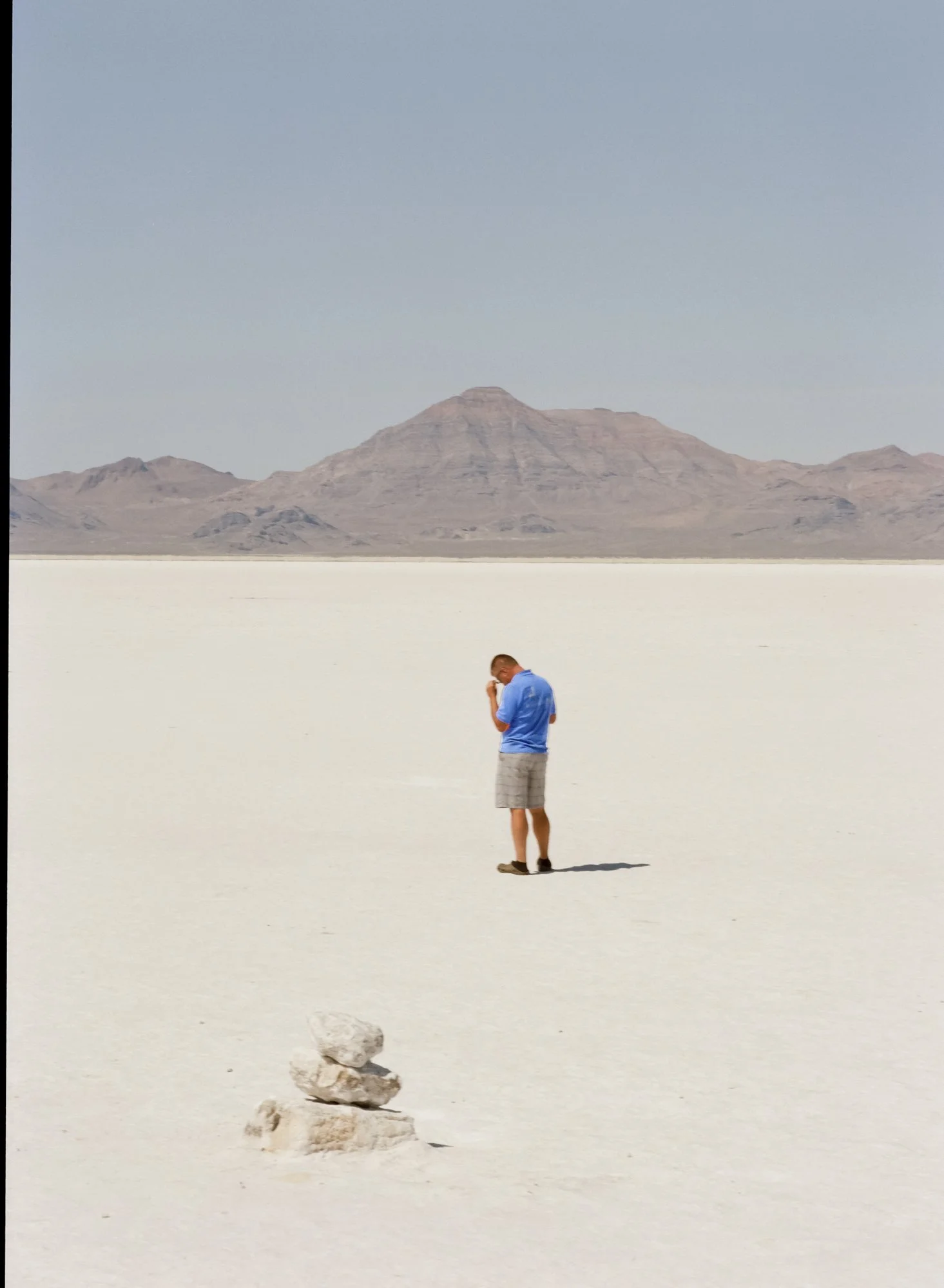
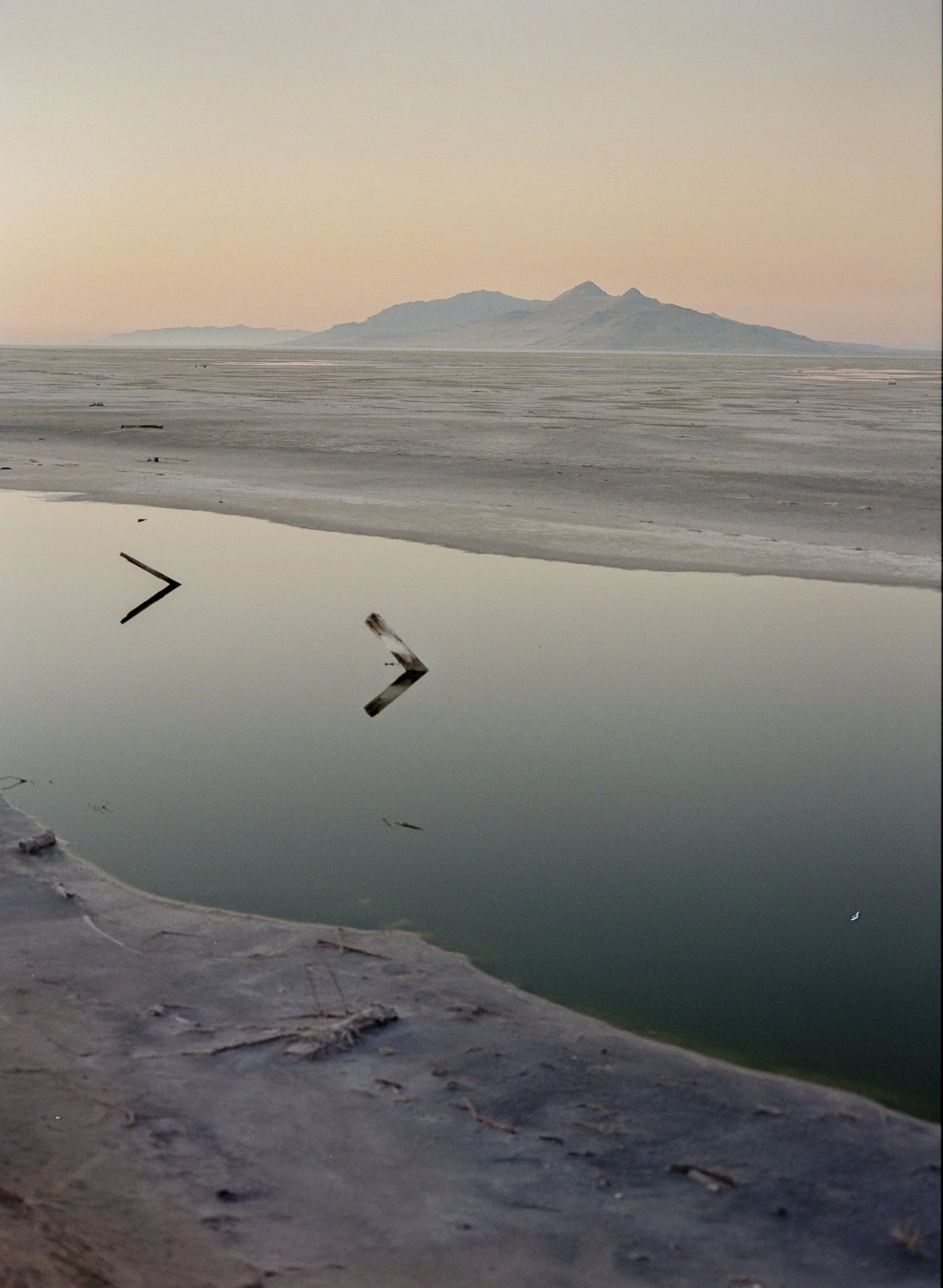
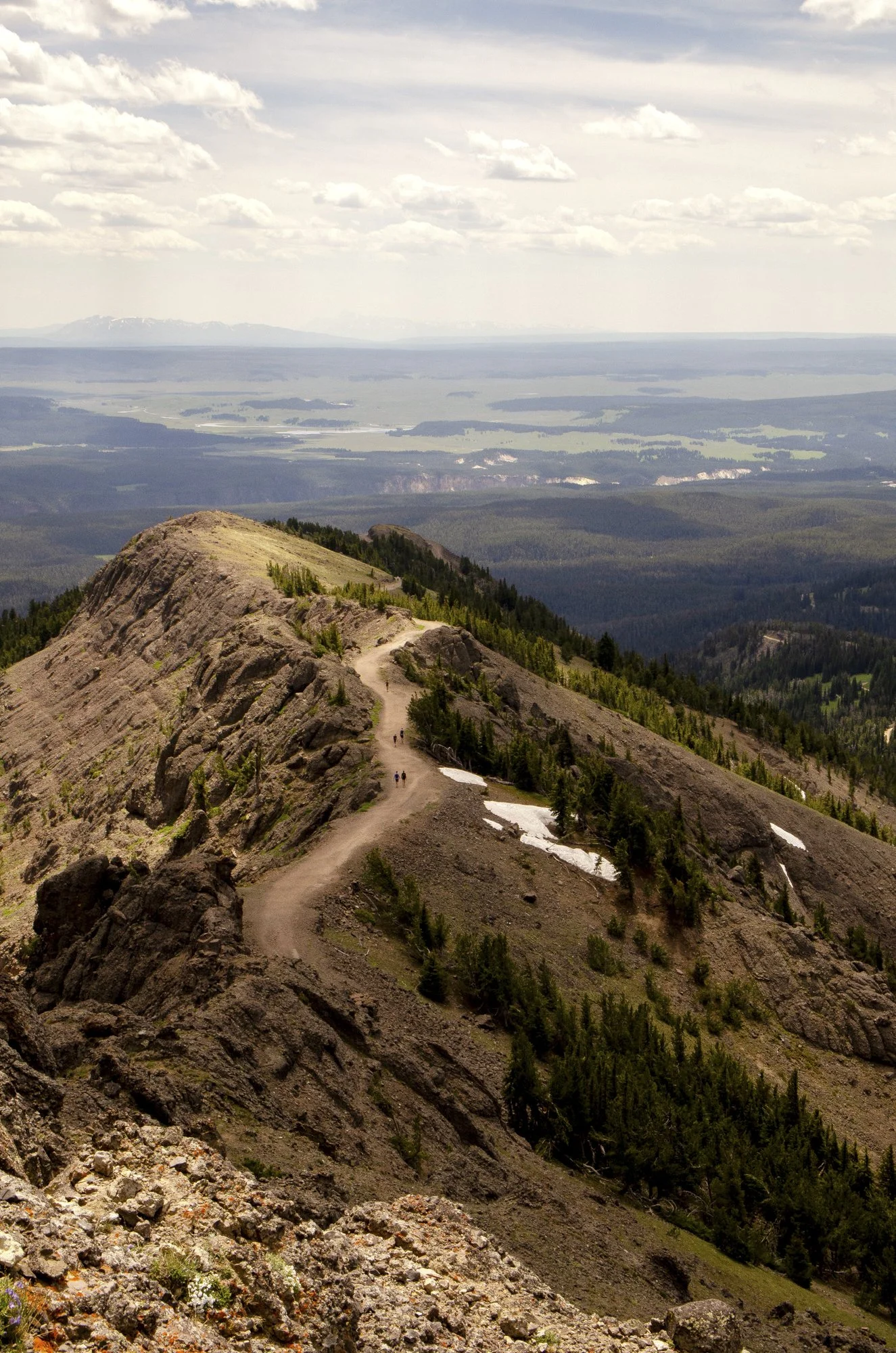
Forgotten Maps is a project that invites viewers into a world of uncharted territories and forgotten remnants, where the landscapes of the American West intertwine with traces of human presence. The work explores the obscure and the overlooked, capturing moments of quiet interaction between humanity and nature. These photographs reveal not only what we leave behind, but also how we coexist with the vastness of the land.
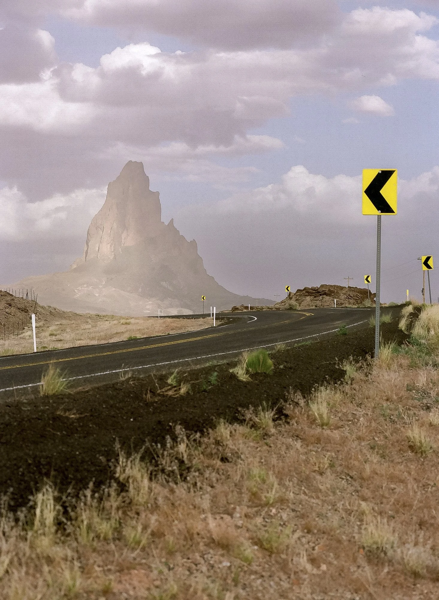
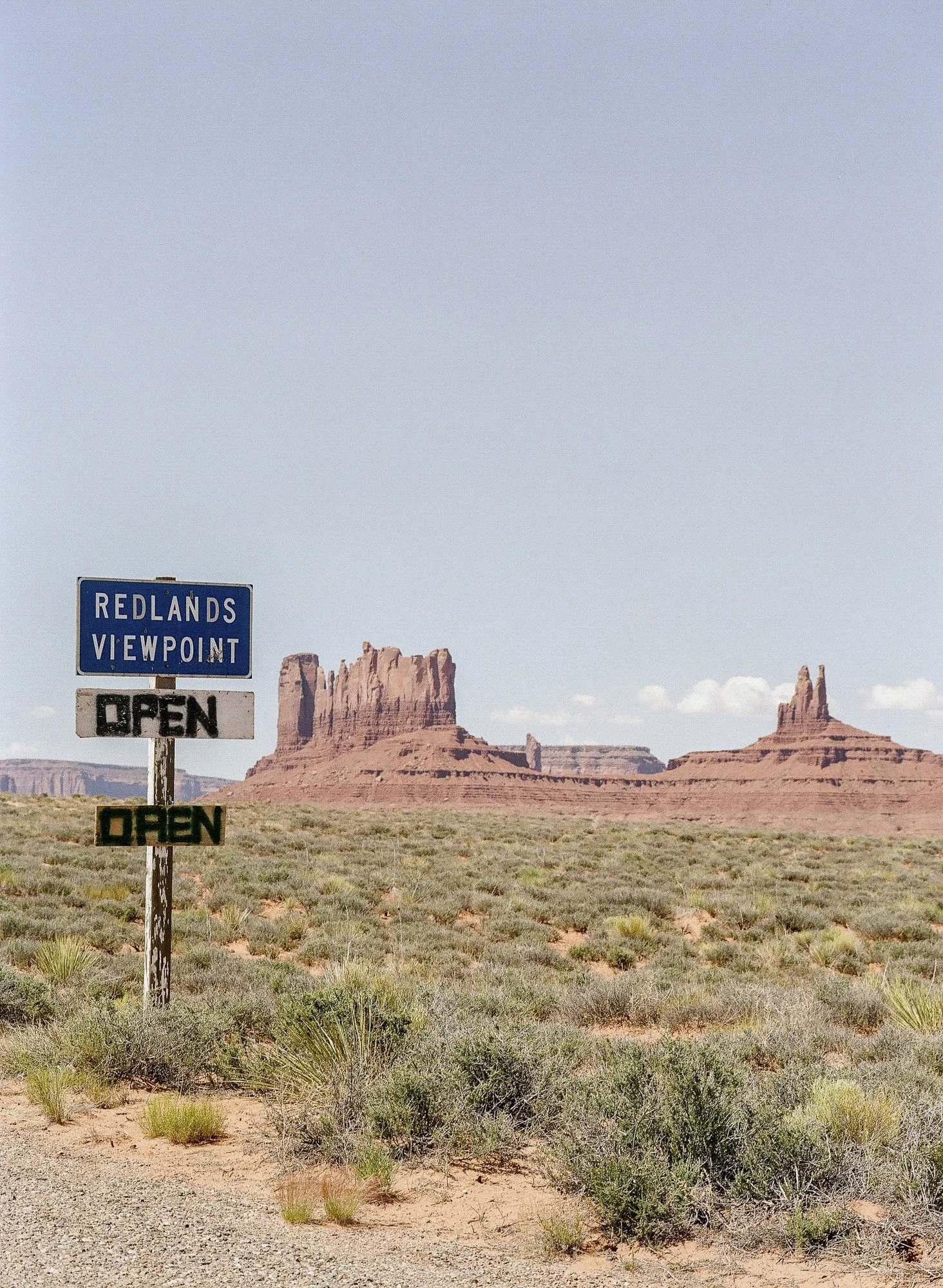
Over a five-year span, Nathan ventured away from city life in Salt Lake City, setting out with no fixed destination. His journeys took him across Utah, Idaho, Colorado, Arizona, Wyoming, and beyond—always seeking the unexpected. Whether it is a car half-submerged in a desert hole or a quiet, untamed expanse of earth, the work finds meaning in the peculiar and the untamed.
Forgotten Maps is not just about the photographs themselves, but about understanding the world they represent and the deliberate process behind their creation. Nathan’s photography is a study of perception—how we see, interpret, and connect with the landscapes and artifacts that surround us. Each image becomes a step in a larger process of discovery, reflection, and transformation.
This body of work was created exclusively on medium-format cameras—Mamiya 645, Pentax 645, and Pentax 67—using Kodak Gold 200 and Ilford HP5 film stocks. Each photograph reflects a dedication to analog photography and hands-on artistry. The development process itself is an integral part of the project. All images were developed using Caffenol, a non-hazardous, eco-friendly developer made from common household items. While Caffenol has long been used for black-and-white film, Nathan expanded its boundaries in 2019 by developing a process he calls Color Caffenol. This innovative method allows for the safe and sustainable development of color film, making the act of creation as meaningful as the image itself.
Forgotten Maps is a meditation on exploration, on finding calm in being lost, and on the fleeting traces we leave behind. It moves through landscapes not often seen, moments not often noticed, and methods not often used—an ode to wandering, process, and the understanding that grows with every step and every frame.
How Is Forgotten Maps Exhibited?
While the Forgotten Maps archive currently holds over 90 images, the project is never presented in its entirety. For each installation, the work is distilled to a selection of approximately 20–30 photographs, creating a focused and spatially responsive experience. The curation remains ongoing; with every new venue, the sequencing, pairings, and scale shift in dialogue with the architecture and atmosphere of the space. No two installations are identical. Each iteration becomes its own map—reshaped by context, light, and environment.
The physical presentation is as deliberate as the image-making process itself. All photographs are printed on archival Hahnemühle Rag paper, chosen for its depth, texture, and tonal integrity. They are framed in high-quality American-made frames that reinforce the work’s quiet durability and material presence. Print sizes range from intimate 5 × 7 inch pieces to expansive 20 × 35 inch works, allowing moments of closeness and contemplation to exist alongside images that command spatial awareness.
In this way, Forgotten Maps remains both archive and living entity—continually reassembled, reconsidered, and reoriented to the landscapes in which it is shown.